Intelematics releases Australian historic traffic flow data

Intelematics has published historic traffic flow data files for more than 2,000 Australian suburbs from 2016-19.
By Ben Spencer March 13, 2020 Read time: 2 mins
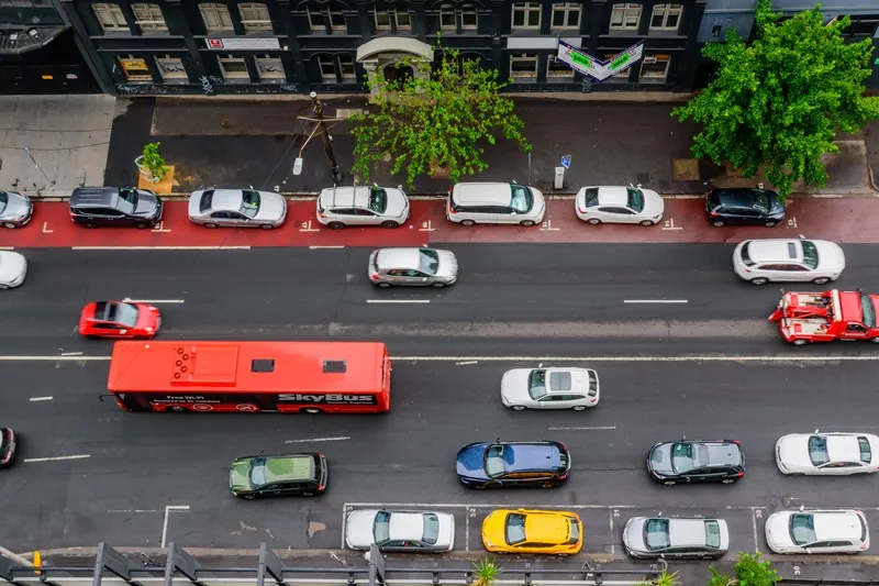
Melbourne streets: Intelematics is going back in time (© Matko Medic | Dreamstime.com)

The company says this will allow traffic management companies and consultants to better understand and plan their projects. 

The use of such data improved afternoon peak hour congestion by 14% on Hoddle Street in Melbourne, the company claims.

John Cardoso, Intelematics’ senior product manager, says it shows traffic flow, speed, speed limits and delays by correlations between suburbs and street names, kilometres per hour, geographic coordinates and time of day.

“The data is available in 15-minute increments. However, if customers need nine-minute, six-minute, or three-minute increments we have that too,” he continues. 

“In addition, each file purchased captures one year’s worth of traffic flow data – many companies only offer three months.”

From April, Intelematics is to roll out traffic data by month consecutively in a move which it says will allow users to access analyse 2020 road and traffic projects without having to wait a full year. 

It will also launch historical traffic volume data files showing vehicle counts in all directions across the road network in 15-minute intervals by month, year and suburb from July 2020.

“The data we capture provides context around traffic trends, accident blackspots, the most congested areas, the most dangerous roads and more,” Cardoso adds. 

The files are available on the Intelematics website.

For more information on companies in this article

Related Content

  • Troopers in the TOC – a recipe for success
    May 11, 2016
    A traffic incident management project in Arizona has speeded up reopening closed lanes and saved an estimated $165m through reducing traffic delays. The process for clearing roadway incidents on the Maricopa County freeways in Arizona has always reflected industry best practice with, for instance, a live feed of freeway cameras to the Arizona Department of Public Safety’s (DPS) dispatch centre and the City of Phoenix Fire dispatch centre. The region has nearly 480km (300 miles) of freeway connecting 27 citi
  • Bristol’s buses trial CycleEye detection system
    July 7, 2017
    Fusion Processing’s Jim Hutchinson looks at a two-year trial of the company’s cyclist detection system. Is cycling in a city dangerous? Well, that depends where you are and how you view statistics. Malmö is far more bike-friendly than Mumbai and the risk can either be perceived as small - one death per 29 million miles cycled in the UK in 2013 - or large - that equated to 109 deaths in the same year. Whatever your personal take on the data, the effect of these accidents can be felt indirectly too. News of c
  • Rekor offers number plate recognition app 
    January 22, 2021
    Rekor Go is smartphone solution which identifies vehicles parked in restricted areas
  • GridMatrix goes back to the future in New York City
    September 25, 2023
    Legacy traffic management infrastructure doesn’t have to be a marker of the past: software upgrades can bring it into the present in a cost-effective and timely way, says Gordon Feller