Intelematics releases Australian historic traffic flow data

Intelematics has published historic traffic flow data files for more than 2,000 Australian suburbs from 2016-19.
By Ben Spencer March 13, 2020 Read time: 2 mins
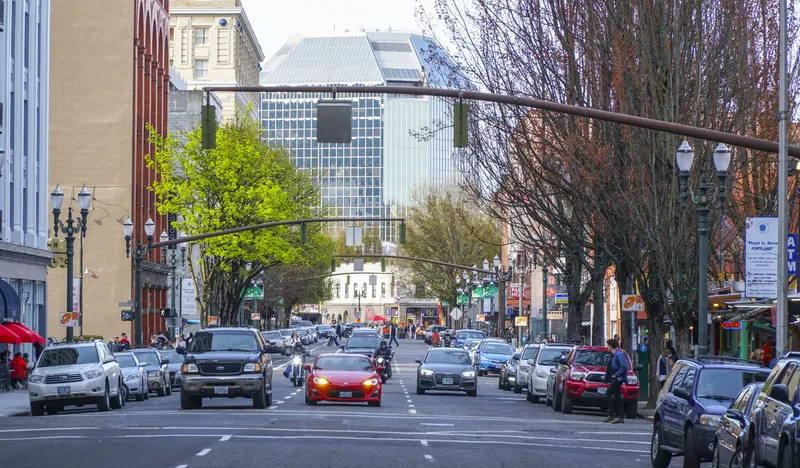
Melbourne streets: Intelematics is going back in time (© Matko Medic | Dreamstime.com)

The company says this will allow traffic management companies and consultants to better understand and plan their projects. 

The use of such data improved afternoon peak hour congestion by 14% on Hoddle Street in Melbourne, the company claims.

John Cardoso, Intelematics’ senior product manager, says it shows traffic flow, speed, speed limits and delays by correlations between suburbs and street names, kilometres per hour, geographic coordinates and time of day.

“The data is available in 15-minute increments. However, if customers need nine-minute, six-minute, or three-minute increments we have that too,” he continues. 

“In addition, each file purchased captures one year’s worth of traffic flow data – many companies only offer three months.”

From April, Intelematics is to roll out traffic data by month consecutively in a move which it says will allow users to access analyse 2020 road and traffic projects without having to wait a full year. 

It will also launch historical traffic volume data files showing vehicle counts in all directions across the road network in 15-minute intervals by month, year and suburb from July 2020.

“The data we capture provides context around traffic trends, accident blackspots, the most congested areas, the most dangerous roads and more,” Cardoso adds. 

The files are available on the Intelematics website.

For more information on companies in this article

Related Content

  • Cross referencing data sets reveals now decision support information
    November 18, 2014
    Combining previously unrelated sets of data can provide an in-depth view of travel patterns. "Through the use of analytical tools, Urban Insights seeks to help transportation organisations benefit from the vast amounts of detailed data they collect every day.”
  • Oregon broadens road charging approach 
    April 7, 2021
    Oregon DoT testing new ways to fund transportation projects using OreGo pay-per-mile
  • Air quality tops transportation agendas
    November 17, 2014
    Colin Sowman catches up on some of the latest research around outdoor pollution and looks at options available to authorities in areas of poor air quality. Iair quality hasn’t already reached the top of the agenda in transportation department meetings in your area, it probably soon will with national, trans-national and even global bodies calling for authorities to reduce pollution levels.
  • I-80 Smart Corridor sets the ITS standard for California's Bay Area
    March 23, 2015
    Colin Sowman looks at California’s ‘smartest’ road which will open this spring to counter congestion and accidents on one of the Bay Area’s busiest interstates. Interstate 80 (I-80) is one of the busiest roads in the San Francisco Bay area with up to 270,000 vehicles using the corridor every day. The section between the Carquinez Bridge in Crockett and the Bay Bridge not only suffers congestion during the working week but also at weekends. Traditional remedies such as building additional lanes (there are al