
Intelematics releases Australian historic traffic flow data

Intelematics has published historic traffic flow data files for more than 2,000 Australian suburbs from 2016-19.
By Ben Spencer March 13, 2020 Read time: 2 mins
Melbourne streets: Intelematics is going back in time (© Matko Medic | Dreamstime.com)

The company says this will allow traffic management companies and consultants to better understand and plan their projects. 

The use of such data improved afternoon peak hour congestion by 14% on Hoddle Street in Melbourne, the company claims.

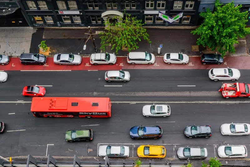
John Cardoso, Intelematics’ senior product manager, says it shows traffic flow, speed, speed limits and delays by correlations between suburbs and street names, kilometres per hour, geographic coordinates and time of day.

“The data is available in 15-minute increments. However, if customers need nine-minute, six-minute, or three-minute increments we have that too,” he continues. 

“In addition, each file purchased captures one year’s worth of traffic flow data – many companies only offer three months.”

From April, Intelematics is to roll out traffic data by month consecutively in a move which it says will allow users to access analyse 2020 road and traffic projects without having to wait a full year. 

It will also launch historical traffic volume data files showing vehicle counts in all directions across the road network in 15-minute intervals by month, year and suburb from July 2020.

“The data we capture provides context around traffic trends, accident blackspots, the most congested areas, the most dangerous roads and more,” Cardoso adds. 

The files are available on the Intelematics website.

Related Content

  • May 13, 2020
    Intelematics charts intersection congestion drop
    Intelematics' qualitative data has highlighted that there were fewer snarl-ups at Melbourne's improved Hoddle Street continuous-flow intersection.
  • December 5, 2012
    Reducing congestion with Tomtom's historical traffic data
    Historical traffic data provided by TomTom is being used by the local government in Spain’s Basque region to reduce road congestion at less cost. Old habits die hard. Photos from as far back as the 1930s show people counting cars by the roadside in order to provide congestion data to those running road networks. Today, such techniques are still used, albeit augmented by a range of automation technologies such as inductive loops, infra-red sensors and number plate recognition. Even with these advances, howe
  • November 5, 2015
    High-res traffic data provides planners with the big picture
    Road authorities have a lot to gain from high-resolution traffic data, argues Pravin Varaiya. Traffic engineers have traditionally been forced to operate with limited data regarding the performance of their arterials. Traffic studies are often commissioned once every three years, over a few days, to get an updated estimate of utilization.
  • November 30, 2021
    When traffic data can get it totally wrong
    How can a highway devoid of traffic provide data suggesting it is filled with vehicles crawling along? Michael Vardi of Valerann provides an insight into how data can easily be skewed - and what can be done to prevent it