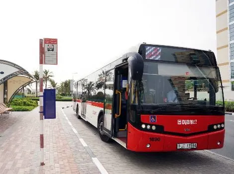
Dubai’s Roads and Transport Authority (RTA) has started experimenting with artificial intelligence (AI) to plot bus routes according to demand throughout the day.
“The use of AI technology, such as machine learning algorithms, aims to revamp the planning of 150 routes used by 2,158 buses all over Dubai,” said Ahmed Mahboub, executive director of the authority’s Smart Services, Corporate Technology Support Services Sector.
During a trial period, the RTA experimented with the technologies on 10 routes where data gathered from the city’s Nol transit fare card was analysed to determine where to place all-day busy bus stops, stops during peak hours and rarely-used stops.
Dubai launched the electronic ticketing Nol Card for all mode of transport in 2009.
Nol - an Arabic word for fare - was developed by Hong Kong-based Octopus Cards. The credit-card-sized stored-value contactless smartcard holds pre-paid funds for fares on buses and trains within one or more of four zones within the city.
Because Dubai’s buses cover around 153 million kilometres a year, the technology could make considerable fuel savings and reductions in carbon emissions, according to the minister.
“By using machine learning algorithms in analysing the captured data, the concerned departments can build up systems and take decisions with reference to abolishing certain stops or proposing an express service that skips those stop,” said Mahboub.
“This ensures customer needs are always addressed. Such a process will contribute to improve this vital service.”
It will also save the time of route planners thanks to the automated route proposals and improvement processes based on AI solutions, he said.


