
Dubai uses AI to revamp bus routes

Data from the Nol transit card will be analysed to improve planning
By David Arminas September 15, 2020 Read time: 2 mins
Bus stop location planning could be much more strategic in Dubai

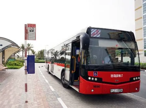
Dubai’s Roads and Transport Authority (RTA) has started experimenting with artificial intelligence (AI) to plot bus routes according to demand throughout the day.

“The use of AI technology, such as machine learning algorithms, aims to revamp the planning of 150 routes used by 2,158 buses all over Dubai,” said Ahmed Mahboub, executive director of the authority’s Smart Services, Corporate Technology Support Services Sector.

During a trial period, the RTA experimented with the technologies on 10 routes where data gathered from the city’s Nol transit fare card was analysed to determine where to place all-day busy bus stops, stops during peak hours and rarely-used stops.

Dubai launched the electronic ticketing Nol Card for all mode of transport in 2009.

Nol -  an Arabic word for fare - was developed by Hong Kong-based Octopus Cards. The credit-card-sized stored-value contactless smartcard holds pre-paid funds for fares on buses and trains within one or more of four zones within the city.

Because Dubai’s buses cover around 153 million kilometres a year, the technology could make considerable fuel savings and reductions in carbon emissions, according to the minister.  

“By using machine learning algorithms in analysing the captured data, the concerned departments can build up systems and take decisions with reference to abolishing certain stops or proposing an express service that skips those stop,” said Mahboub.

“This ensures customer needs are always addressed. Such a process will contribute to improve this vital service.”

It will also save the time of route planners thanks to the automated route proposals and improvement processes based on AI solutions, he said.

Related Content

  • March 4, 2025
    Manchester extends Metrolink tap and go to trams and buses
    UK city will soon have integrated payment in same way as capital London
  • April 2, 2014
    Big data and GPS combine to cut emergency response times
    David Crawford looks at technologies for better emergency medical service delivery. Emergency medical services (EMS) play key roles in transporting, or bringing treatment to, patients who become ill through medical emergencies or are injured in road traffic accidents (RTAs). But awareness has been rising steadily, in the US and elsewhere, of the extent to which EMS can generate their own emergencies. The most common cause is vehicles causing or becoming involved in RTAs, as a result of driving fast under pr
  • August 5, 2016
    Hartford’s tailors winter maintenance on Esri’s GIS platform
    The in-house winter maintenance and vehicle tracking system built by the Public Works Department in Hartford, Connecticut, coped with record snowfalls and cut costs too. When it comes to dealing with the effects of mother nature, transport agencies can find themselves in a lose-lose situation: criticised if the roads or rail lines are disrupted by snow, ice or floods for more than a few hours and lambasted for wasting money if the equipment and stockpiles put in place for a hard winter remain unused.
  • January 2, 2019
    HART uses Init’s e-fare system for buses in Hawaii
    The Honolulu Authority for Rapid Transportation (HART) in Hawaii is trialing Holo Card, an account-based electronic fare system from Init, over a three-month period. It will then be made available on all buses owned by Oahu Transit Services. The e-fare system will allow passengers using Oahu’s TheBus service to load passes or add value via their mobile device on route to board a bus or by visiting a local retail outlet. This project stems from an agreement with the City and County of Honolulu Department