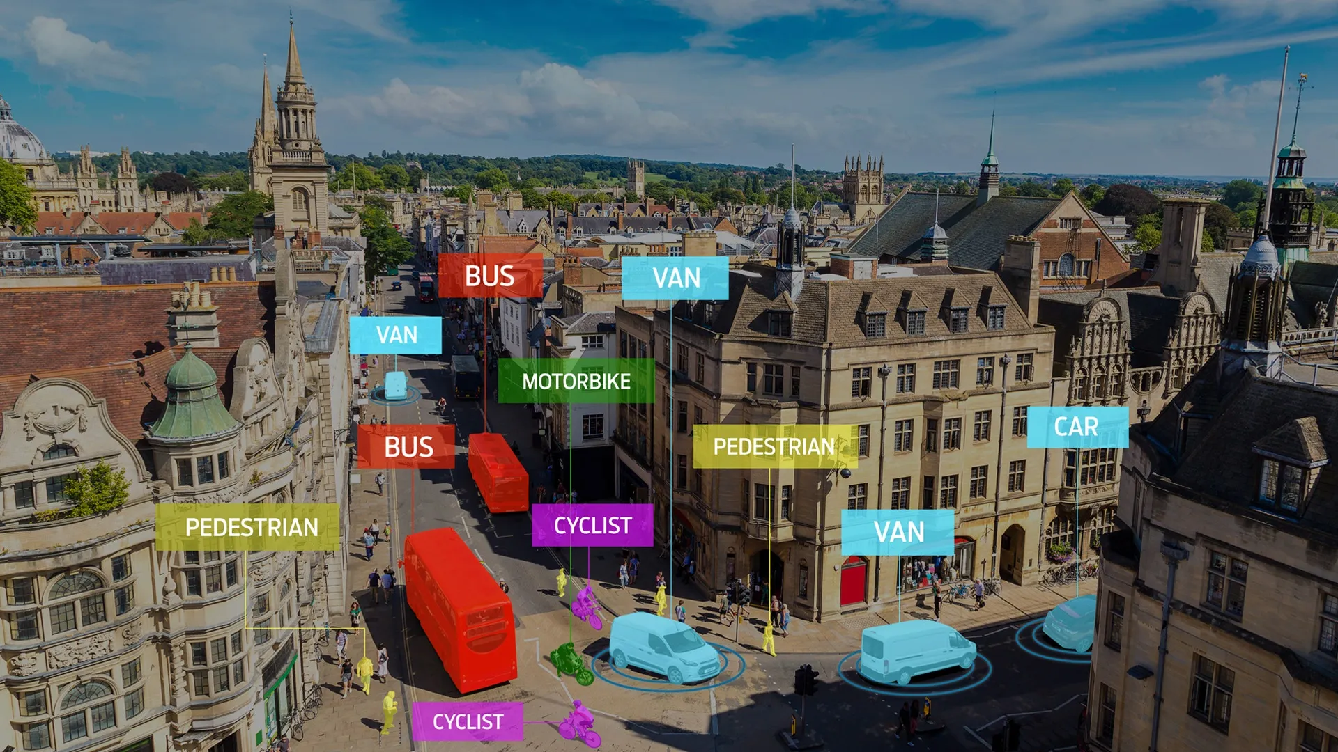
The City of Helsinki is beginning a smart mobility pilot to gain better understanding of how available mobility and traffic data sources, combined with visual analytics, can add insight.
Part of Mobility Lab Helsinki, and coordinated with innovation company Forum Virium Helsinki, the city is partnering with Xyzt.ai and Geo Mobility on a "no-code geospatial platform for visualising and analysing vast amounts of movement and time series data".
Xyzt.ai's platform will combine Geo Mobility's data sources in an interactive, multi-layered interface: road intelligence data could include floating vehicle data sets with waypoints combined in trips, road incident data such as near-crashes, or telecom data containing origin-destination information about how people move across the city, all combined with environmental data such as emission information.
”The City of Helsinki is developing its traffic data capabilities," says Juho Kostiainen, project manager from the City of Helsinki and Mobility Lab Helsinki.
"This pilot with various data sets and visual analytics provides a very interesting look at the possibilities for different use cases.”
Pierre Maere, technology and operations manager at Geo Mobility, says: "We used the Xyzt.ai platform to visualise the floating car data and telco data, and to combine them for unique insights in this project for Helsinki. The software has made it possible to dive into the data in depth and quickly conceptualise combinations of data and their use."
Lida Joly, CEO of Xyzt.ai, says: "Being able to participate in this innovative project of the Mobility Lab Helsinki is what empowers Xyzt.ai to deliver solutions that are easy to implement, and that really help cities with the mobility challenges of today and tomorrow.”


