Barcelona City Council and the Barcelona Supercomputing Center – Centro Nacional de Supercomputación (BSC-CNS) aim to develop a digital twin tool that can be used by any city for urban planning.
The organisations have created a web platform which analyses whether Barcelona public facilities and services adheres to the 15-minute city model.
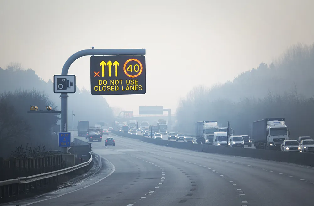
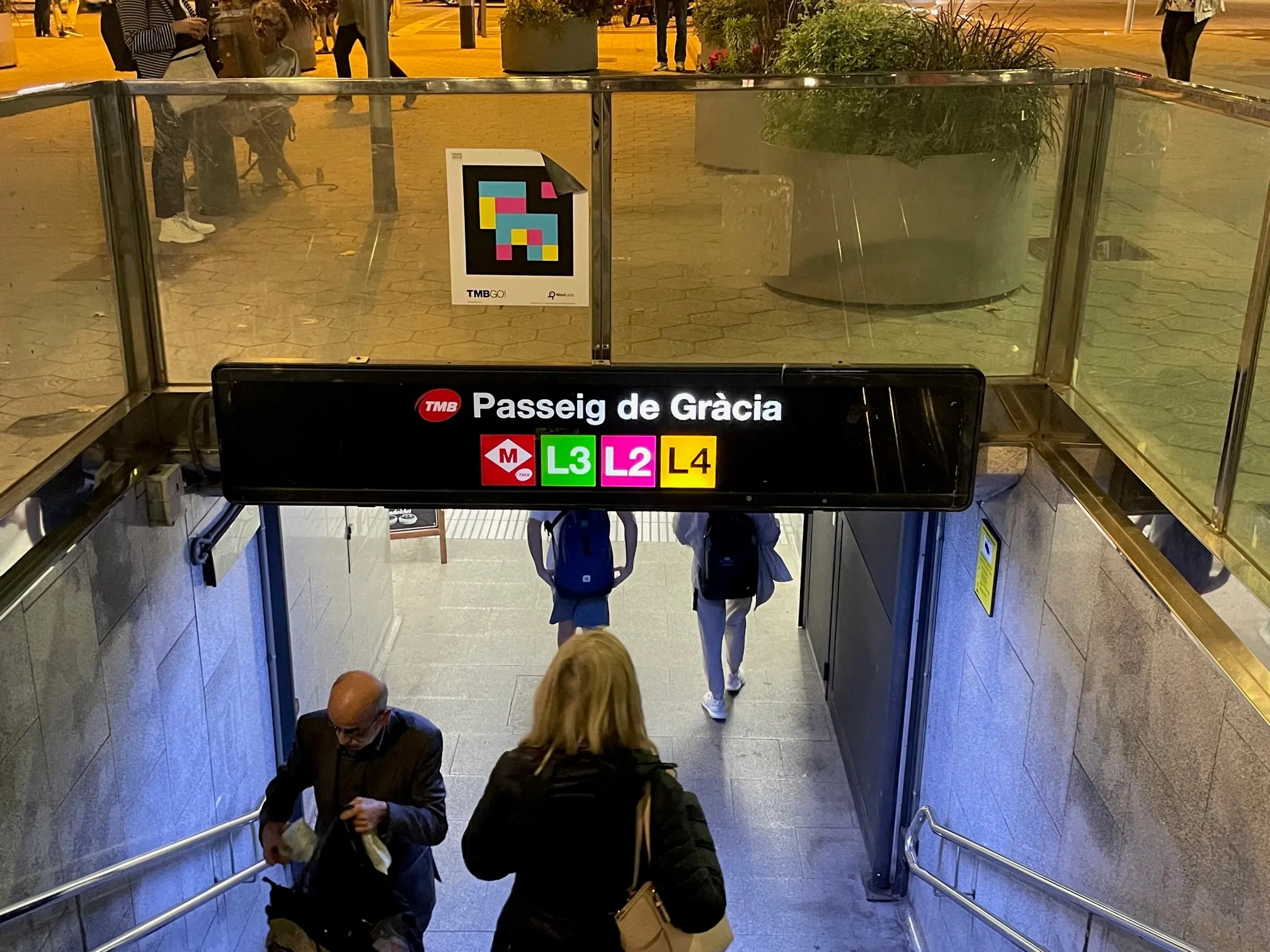
The initial phase of the project has made it possible to visualise mass transit and active travel scenarios - for instance, showing the coverage within a 10-minute walk of metro stops, before and after the opening of the future L8 and L9 lines.
BSC-CNS researchers have worked with the Municipal Institute of Informatics (IMI) and Barcelona Regional (BR) on a proof of concept that is intended to serve as a starting point for more elaborate analyses.
The digital twin project seeks to understand how cities could work better by analysing data, evaluating resources, understanding the accessibility of services, and working with models that simplify the complexity, generating scenarios and visualising multiple variables (or combinations of variables) to help decision making.
Pre-testing different options for solving a problem on digital twins can anticipate results and prevent problems or crises, BSC-CNS says.
Once the first phase has been completed, BSC and the City Council plan to develop a more complex and robust digital twin project with more interrelated data.
Within the next four years, BSC-CNS will assume the technological and construction leadership, and the Barcelona City Council will be the potential data provider, with BR the customer.
Barcelona Municipal Institute of Informatics (IMI) will coordinate the project, and collaborate with other cities.
This second phase is part of the collaboration framework between Barcelona, Bologna, BSC, the Inter-University Consortium CINECA, and the University of Bologna.