Barcelona digital twin visualises 15-minute city

Understanding coverage of city's metro system for pedestrians is part of new analysis
By Adam Hill April 11, 2023 Read time: 2 mins
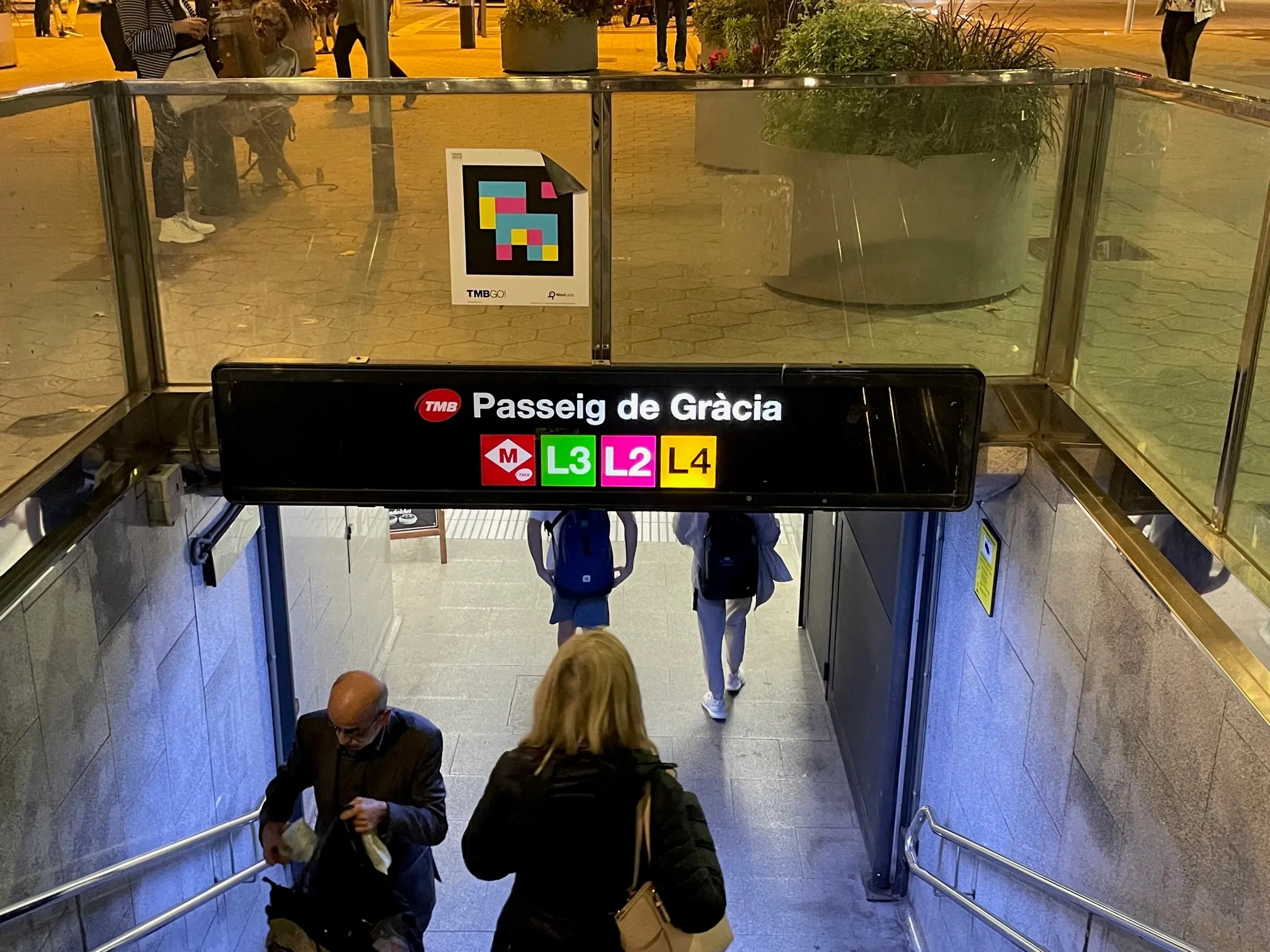
The L8 and L9 lines are yet to open on Barcelona's metro (© ITS International)

Barcelona City Council and the Barcelona Supercomputing Center – Centro Nacional de Supercomputación (BSC-CNS) aim to develop a digital twin tool that can be used by any city for urban planning.

The organisations have created a web platform which analyses whether Barcelona public facilities and services adheres to the 15-minute city model.

The initial phase of the project has made it possible to visualise mass transit and active travel scenarios - for instance, showing the coverage within a 10-minute walk of metro stops, before and after the opening of the future L8 and L9 lines.

BSC-CNS researchers have worked with the Municipal Institute of Informatics (IMI) and Barcelona Regional (BR) on a proof of concept that is intended to serve as a starting point for more elaborate analyses. 

The digital twin project seeks to understand how cities could work better by analysing data, evaluating resources, understanding the accessibility of services, and working with models that simplify the complexity, generating scenarios and visualising multiple variables (or combinations of variables) to help decision making.

Pre-testing different options for solving a problem on digital twins can anticipate results and prevent problems or crises, BSC-CNS says.

Once the first phase has been completed, BSC and the City Council plan to develop a more complex and robust digital twin project with more interrelated data.

Within the next four years, BSC-CNS will assume the technological and construction leadership, and the Barcelona City Council will be the potential data provider, with BR the customer.

Barcelona Municipal Institute of Informatics (IMI) will coordinate the project, and collaborate with other cities.

This second phase is part of the collaboration framework between Barcelona, Bologna, BSC, the Inter-University Consortium CINECA, and the University of Bologna. 

Related Content

  • Nothing basic about universal basic mobility
    May 5, 2022
    The concept of universal basic mobility is here: but Shared-Use Mobility Center CEO Benjamin de la Peña tells Ben Spencer that such schemes may not be looking at the right targets
  • Iteris wins New Jersey traffic signal deal 
    August 31, 2021
    Iteris to identify traffic signal re-timing techniques in Burlington, Camden, Gloucester and Mercer
  • Jenoptik uses sensor fusion to avoid monitoring confusion
    January 26, 2018
    Jenoptik’s Uwe Urban looks at the advantages of ‘sensor fusion’ for the ITS sector. When considering the ideal sensing and monitoring system to enable the ITS sector to deliver improvements in mobility and road safety, for general policing security and border protection, we have to think beyond radar-base systems or laser scanners. What is needed today are solutions for detecting and tracking vehicles while recording evidence to deacide if any action is necessary. There is no sole sensor capable of
  • App informs drivers of delays during Long Beach bridge replacement
    June 6, 2014
    David Crawford previews a work zone travel breakthrough. In February 2014, the Port of Long Beach in California launched what it claims is a groundbreaking construction zone navigation aid - LB Bridge mobile app. The app is designed to help drivers during the Gerald Desmond Bridge replacement programme by keeping them up to date on activity and the ensuing traffic diversions when construction starts in summer 2014. The unusually content-rich app is designed to convey current project news (enlivened by phot