Barcelona digital twin visualises 15-minute city

Understanding coverage of city's metro system for pedestrians is part of new analysis
By Adam Hill April 11, 2023 Read time: 2 mins
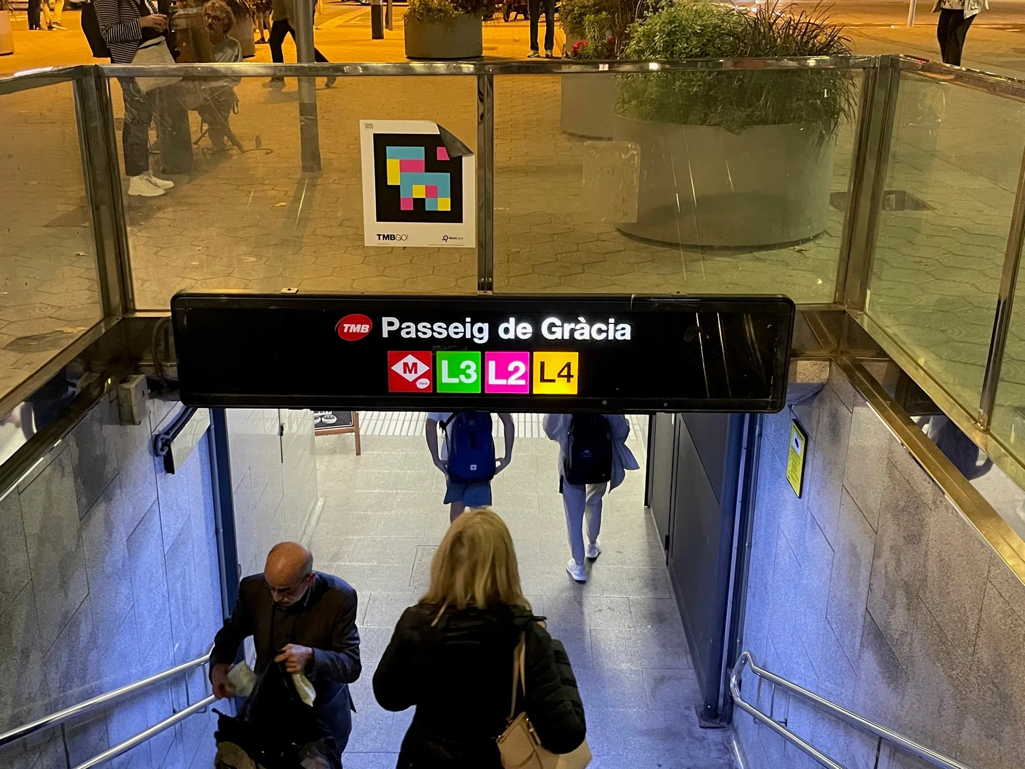
The L8 and L9 lines are yet to open on Barcelona's metro (© ITS International)

Barcelona City Council and the Barcelona Supercomputing Center – Centro Nacional de Supercomputación (BSC-CNS) aim to develop a digital twin tool that can be used by any city for urban planning.

The organisations have created a web platform which analyses whether Barcelona public facilities and services adheres to the 15-minute city model.

The initial phase of the project has made it possible to visualise mass transit and active travel scenarios - for instance, showing the coverage within a 10-minute walk of metro stops, before and after the opening of the future L8 and L9 lines.

BSC-CNS researchers have worked with the Municipal Institute of Informatics (IMI) and Barcelona Regional (BR) on a proof of concept that is intended to serve as a starting point for more elaborate analyses. 

The digital twin project seeks to understand how cities could work better by analysing data, evaluating resources, understanding the accessibility of services, and working with models that simplify the complexity, generating scenarios and visualising multiple variables (or combinations of variables) to help decision making.

Pre-testing different options for solving a problem on digital twins can anticipate results and prevent problems or crises, BSC-CNS says.

Once the first phase has been completed, BSC and the City Council plan to develop a more complex and robust digital twin project with more interrelated data.

Within the next four years, BSC-CNS will assume the technological and construction leadership, and the Barcelona City Council will be the potential data provider, with BR the customer.

Barcelona Municipal Institute of Informatics (IMI) will coordinate the project, and collaborate with other cities.

This second phase is part of the collaboration framework between Barcelona, Bologna, BSC, the Inter-University Consortium CINECA, and the University of Bologna. 

Related Content

  • Telegra tackle integrated corridor management
    March 29, 2017
    Coordination is the key to successful integrated corridor management, argues Telegra’s chief operating officer, Branko Glad. The Centre for Economics and Business Research (CEBR) has calculated that in 2013, traffic congestion cost American citizens $124 billion ($78 billion of wasted time and fuel and $45 billion in indirect losses). In 2030 this figure is predicted to rise to $186 billion.
  • Synthetic data v the real thing
    January 9, 2023
    ITS and smart cities thrive on data: but does all the data need to be real? Steve Harris of Mindtech explains why the answer could lie in combining elements of the real world with the synthetic
  • Cloud computing technology benefits GIS
    July 17, 2012
    Geographic Information Systems are a relatively late adopter of cloud computing,but the benefits of host services for geospatial data and analysis are becoming clear. Jason Barnes reports Both the concept and the reality of cloud computing have been around for some time. More and more industry sectors are entrusting external service providers with the provision of their computing services via the internet. However, the Geographic Information System (GIS) industry has been slow to embrace the trend. This is
  • Mobility as a Service gaining traction in US and Europe
    December 15, 2015
    As Mobility as a Service starts to move into the mainstream of transport planning, David Crawford compares European and North American initiatives. Mobility as a Service (MaaS) is a concept fast gaining traction on both sides of the Atlantic as a way of giving travellers digital multimodal one-stop shops and journey planning tools as an alternative to private car use. Planned delivery methods include subscription-based travel packages in Europe, and 'mobility aggregator' apps, including employee commute ben