Barcelona digital twin visualises 15-minute city

Understanding coverage of city's metro system for pedestrians is part of new analysis
By Adam Hill April 11, 2023 Read time: 2 mins
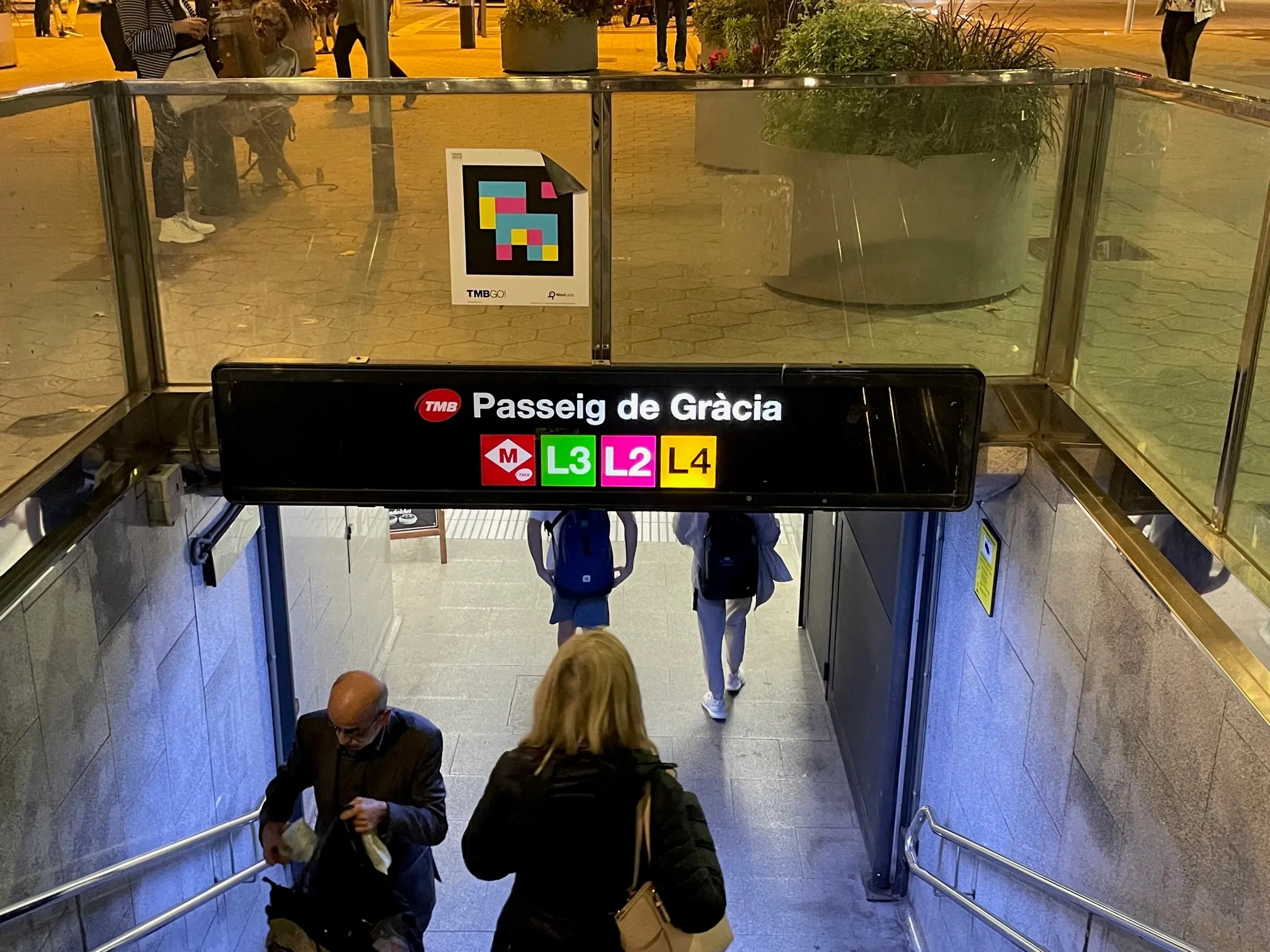
The L8 and L9 lines are yet to open on Barcelona's metro (© ITS International)

Barcelona City Council and the Barcelona Supercomputing Center – Centro Nacional de Supercomputación (BSC-CNS) aim to develop a digital twin tool that can be used by any city for urban planning.

The organisations have created a web platform which analyses whether Barcelona public facilities and services adheres to the 15-minute city model.

The initial phase of the project has made it possible to visualise mass transit and active travel scenarios - for instance, showing the coverage within a 10-minute walk of metro stops, before and after the opening of the future L8 and L9 lines.

BSC-CNS researchers have worked with the Municipal Institute of Informatics (IMI) and Barcelona Regional (BR) on a proof of concept that is intended to serve as a starting point for more elaborate analyses. 

The digital twin project seeks to understand how cities could work better by analysing data, evaluating resources, understanding the accessibility of services, and working with models that simplify the complexity, generating scenarios and visualising multiple variables (or combinations of variables) to help decision making.

Pre-testing different options for solving a problem on digital twins can anticipate results and prevent problems or crises, BSC-CNS says.

Once the first phase has been completed, BSC and the City Council plan to develop a more complex and robust digital twin project with more interrelated data.

Within the next four years, BSC-CNS will assume the technological and construction leadership, and the Barcelona City Council will be the potential data provider, with BR the customer.

Barcelona Municipal Institute of Informatics (IMI) will coordinate the project, and collaborate with other cities.

This second phase is part of the collaboration framework between Barcelona, Bologna, BSC, the Inter-University Consortium CINECA, and the University of Bologna. 

Related Content

  • Trust AI – it knows more than we do
    January 14, 2020
    There’s no shortage of data – but making the most of it is the problem. Andrew Bunn examines how AI will be able to support and influence the development of advanced transportation strategies
  • Do we need a new approach to ITS and traffic management?
    January 31, 2012
    In an article which has implications for the European Electronic Toll Service, ASECAP's Kallistratos Dionelis asks whether the approach we currently take to major ITS system implementations is always the best or healthiest. I was asked recently to write a paper on the technology-oriented future of transport. To paraphrase, I started with: "The goal of European policy-makers is to establish a transport system which meets society's economic, social and environmental needs, satisfying in parallel a rising dema
  • Urban SDK helps Florida transport planning 
    April 22, 2021
    Software as a Service platform integrates agencies' data and reporting needs, firm says
  • Less travel aggravation to blunt Aggieland fans’ motivation
    June 17, 2016
    Returning travel times to normal within two hours of the end of a major football game was the challenge facing College Station, Adam Lyons explains how this was achieved. College Station, TX, also known as ‘Aggieland’, is located right in the middle of the Dallas/Fort Worth, San Antonio and Houston triangle making the city accessible to over 14 million Texans within less than a four-hour drive. One of the biggest draws to this area is Texas A&M University (TAMU) and the Aggie football games in the fall, mea