Barcelona digital twin visualises 15-minute city

Understanding coverage of city's metro system for pedestrians is part of new analysis
By Adam Hill April 11, 2023 Read time: 2 mins
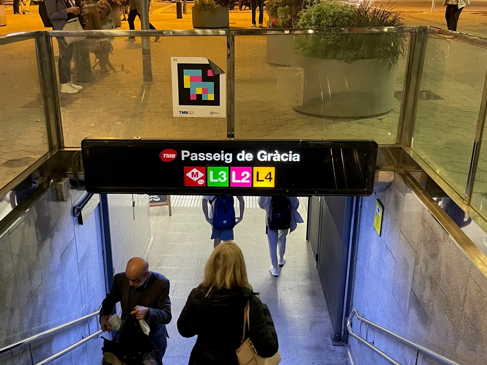
The L8 and L9 lines are yet to open on Barcelona's metro (© ITS International)

Barcelona City Council and the Barcelona Supercomputing Center – Centro Nacional de Supercomputación (BSC-CNS) aim to develop a digital twin tool that can be used by any city for urban planning.

The organisations have created a web platform which analyses whether Barcelona public facilities and services adheres to the 15-minute city model.

The initial phase of the project has made it possible to visualise mass transit and active travel scenarios - for instance, showing the coverage within a 10-minute walk of metro stops, before and after the opening of the future L8 and L9 lines.

BSC-CNS researchers have worked with the Municipal Institute of Informatics (IMI) and Barcelona Regional (BR) on a proof of concept that is intended to serve as a starting point for more elaborate analyses. 

The digital twin project seeks to understand how cities could work better by analysing data, evaluating resources, understanding the accessibility of services, and working with models that simplify the complexity, generating scenarios and visualising multiple variables (or combinations of variables) to help decision making.

Pre-testing different options for solving a problem on digital twins can anticipate results and prevent problems or crises, BSC-CNS says.

Once the first phase has been completed, BSC and the City Council plan to develop a more complex and robust digital twin project with more interrelated data.

Within the next four years, BSC-CNS will assume the technological and construction leadership, and the Barcelona City Council will be the potential data provider, with BR the customer.

Barcelona Municipal Institute of Informatics (IMI) will coordinate the project, and collaborate with other cities.

This second phase is part of the collaboration framework between Barcelona, Bologna, BSC, the Inter-University Consortium CINECA, and the University of Bologna. 

Related Content

  • Wrong Way Detection System prevents accidents, improves safety
    January 31, 2012
    In 2006, within a span of four months, two incidents of drivers entering the 16km-long Westpark Tollway in Houston, Texas resulted in horrific accidents that caused a number of fatalities. As a result, Harris County Toll Road Authority (HCTRA) began investigating technologies that could help detect vehicles entering the tollway in the wrong direction.
  • Technology advances improve enforcement
    July 26, 2012
    Across the board, technology is being brought to bear to improve the efficiency of enforcement. Bus lane monitoring, parking and controlled access have all benefited from systems introduced in recent months. While speed and red light infringements tend to attract the most attention, there remain several other areas of enforcement where automation can bring significant operational and efficiency benefits. Lane monitoring and access control also continue to benefit from technological development.
  • Building back better after Covid-19
    February 17, 2021
    The Canadian Urban Transit Association has looked carefully at what’s required to put public transportation on a firm footing post-Covid: here are a few of the group’s recommendations…
  • Intersection management, cooperative infrastructures - what next?
    February 1, 2012
    What do recent vehicle recalls mean for future cooperative infrastructures? Anthony Smith takes a look. As ITS industry stakeholders converge on Amsterdam for the 2010 Cooperative Mobility Showcase, an unprecedentedly wide range of technologies will be on display demonstrating what might be achievable in the future from innovations based on Vehicle-to-Vehicle (V2V) and Vehicle-to-Infrastructure (V2I) communications.