Barcelona digital twin visualises 15-minute city

Understanding coverage of city's metro system for pedestrians is part of new analysis
By Adam Hill April 11, 2023 Read time: 2 mins
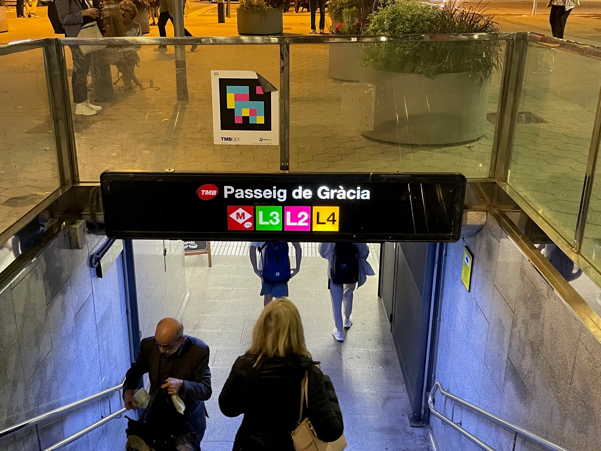
The L8 and L9 lines are yet to open on Barcelona's metro (© ITS International)

Barcelona City Council and the Barcelona Supercomputing Center – Centro Nacional de Supercomputación (BSC-CNS) aim to develop a digital twin tool that can be used by any city for urban planning.

The organisations have created a web platform which analyses whether Barcelona public facilities and services adheres to the 15-minute city model.

The initial phase of the project has made it possible to visualise mass transit and active travel scenarios - for instance, showing the coverage within a 10-minute walk of metro stops, before and after the opening of the future L8 and L9 lines.

BSC-CNS researchers have worked with the Municipal Institute of Informatics (IMI) and Barcelona Regional (BR) on a proof of concept that is intended to serve as a starting point for more elaborate analyses. 

The digital twin project seeks to understand how cities could work better by analysing data, evaluating resources, understanding the accessibility of services, and working with models that simplify the complexity, generating scenarios and visualising multiple variables (or combinations of variables) to help decision making.

Pre-testing different options for solving a problem on digital twins can anticipate results and prevent problems or crises, BSC-CNS says.

Once the first phase has been completed, BSC and the City Council plan to develop a more complex and robust digital twin project with more interrelated data.

Within the next four years, BSC-CNS will assume the technological and construction leadership, and the Barcelona City Council will be the potential data provider, with BR the customer.

Barcelona Municipal Institute of Informatics (IMI) will coordinate the project, and collaborate with other cities.

This second phase is part of the collaboration framework between Barcelona, Bologna, BSC, the Inter-University Consortium CINECA, and the University of Bologna. 

Related Content

  • Hybrid model of Paris-Charles de Gaulle Airport now complete
    February 24, 2015
    Aéroports de Paris (AdP) has completed its road simulation model of the airport area of Paris-Charles de Gaulle Airport. The hybrid model has been built using Aimsun traffic modelling software, and comprises a large-area mesoscopic model dotted with pockets of simultaneous microscopic simulation wherever more detail is necessary. Aéroports de Paris commissioned the project as part of the “Airport City” concept, with CDVIA as the main provider. The model of Paris-Charles de Gaulle Airport covers over 240 kil
  • The smart in smart parking
    March 29, 2018
    Whether you want to reduce congestion, increase parking revenue or reduce occupancy – or a mixture of all three – there is plenty of technology available. Andrew Bardin Williams considers the pros and cons. Drawn in by the promise of Smart City initiatives, communities across North America are embracing smart parking solutions in an effort to change citizens’ transportation behaviours for the better. They are doing this by using policy and ITS solutions to help de-incentivise parking for most people while
  • UK DfT looks to the future with Mott MacDonald
    June 19, 2025
    Infrastructure firm appointed 'Futures and Foresight Support Advisor' to DfT
  • Singapore to use travel plan programmes to ease peak-hour congestion
    April 4, 2012
    Singapore’s Land Transport Authority (LTA) has announced that it intends to look into how to encourage commuters to use public transport more frequently, lessen car travel and change their journeys to off-peak periods. A consultant is being sought by the LTA to evaluate if the various workplace-based travel plan programmes are feasible and effective in switching the travel patterns of commuters.