Barcelona digital twin visualises 15-minute city

Understanding coverage of city's metro system for pedestrians is part of new analysis
By Adam Hill April 11, 2023 Read time: 2 mins
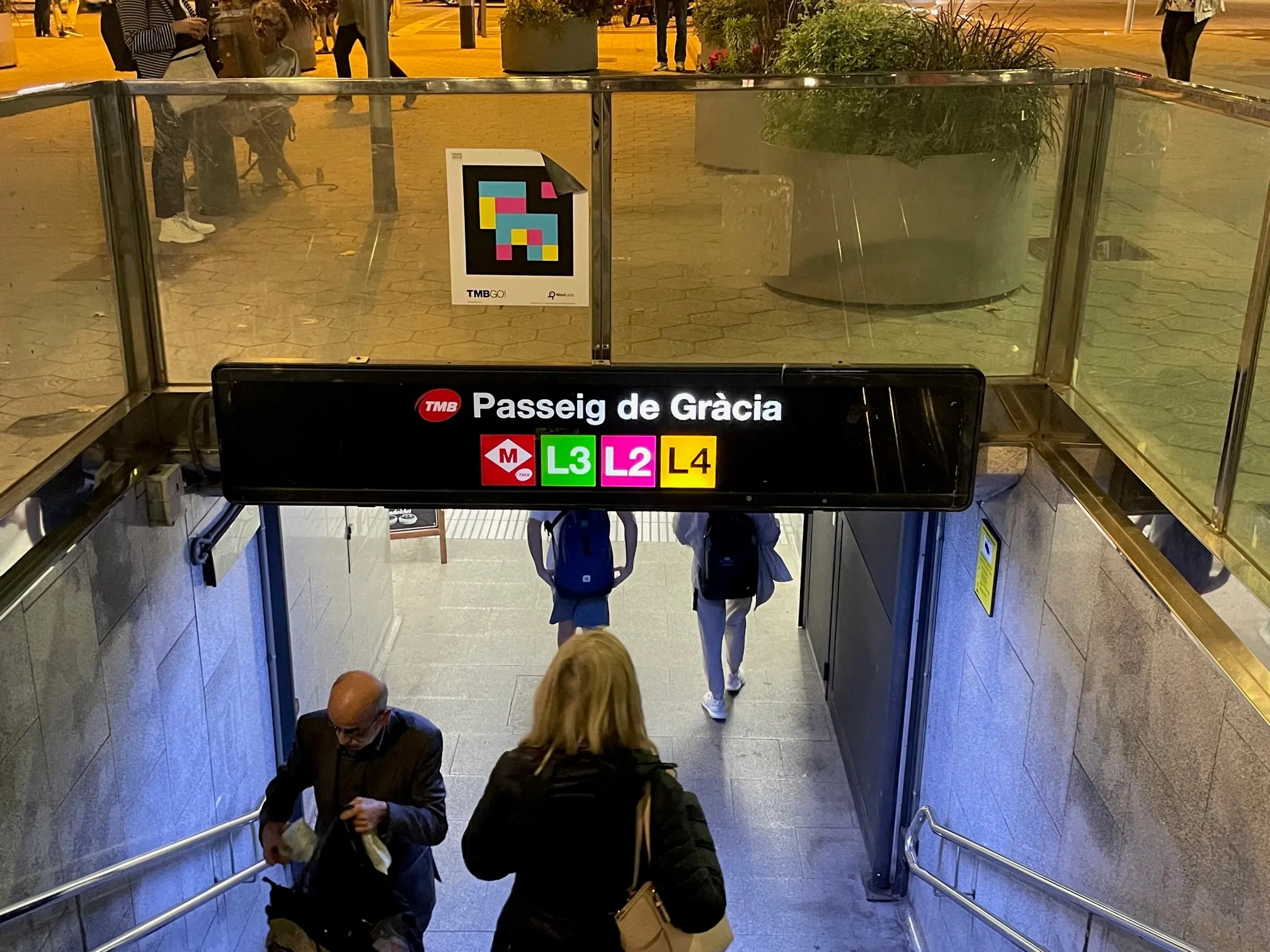
The L8 and L9 lines are yet to open on Barcelona's metro (© ITS International)

Barcelona City Council and the Barcelona Supercomputing Center – Centro Nacional de Supercomputación (BSC-CNS) aim to develop a digital twin tool that can be used by any city for urban planning.

The organisations have created a web platform which analyses whether Barcelona public facilities and services adheres to the 15-minute city model.

The initial phase of the project has made it possible to visualise mass transit and active travel scenarios - for instance, showing the coverage within a 10-minute walk of metro stops, before and after the opening of the future L8 and L9 lines.

BSC-CNS researchers have worked with the Municipal Institute of Informatics (IMI) and Barcelona Regional (BR) on a proof of concept that is intended to serve as a starting point for more elaborate analyses. 

The digital twin project seeks to understand how cities could work better by analysing data, evaluating resources, understanding the accessibility of services, and working with models that simplify the complexity, generating scenarios and visualising multiple variables (or combinations of variables) to help decision making.

Pre-testing different options for solving a problem on digital twins can anticipate results and prevent problems or crises, BSC-CNS says.

Once the first phase has been completed, BSC and the City Council plan to develop a more complex and robust digital twin project with more interrelated data.

Within the next four years, BSC-CNS will assume the technological and construction leadership, and the Barcelona City Council will be the potential data provider, with BR the customer.

Barcelona Municipal Institute of Informatics (IMI) will coordinate the project, and collaborate with other cities.

This second phase is part of the collaboration framework between Barcelona, Bologna, BSC, the Inter-University Consortium CINECA, and the University of Bologna. 

Related Content

  • Can AV mapping rely on crowds?
    June 29, 2021
    Mapping tech companies need to expand their data inputs beyond crowdsourcing in order to maintain temporally accurate maps at scale, says Ro Gupta at Carmera
  • ITS adaptions enhance cycle safety in Dublin
    December 3, 2013
    Enabled and enforced by innovative use of ITS, Dublin’s new off-road cycle route is proving a hit with commuters, leisure cyclists and walkers alike as Brendan O’Brien explains. Dublin City Council’s vision is to create a city where people of all ages and abilities have the confidence, incentive and facilities to cycle. On-road cycle lanes had already been incorporated into the Quality Bus Corridors design and there is a mix of on- and off-road cycle routes. However, in 2010 the Council began work on a new
  • Watch your step: the sidewalk robots are here
    March 14, 2023
    The way we order and pay for goods has changed radically – but what about how those goods are delivered? Gordon Feller looks at how sidewalk robots might reshape the urban landscape
  • Predictive analytics aid Cologne’s congestion management
    January 17, 2013
    The City of Cologne, Germany, and IBM have completed a smarter traffic pilot to predict and manage traffic flow and road congestion in the city. The pilot demonstrates how the city of Cologne can anticipate, better manage, and in many cases, avoid traffic jams and trouble spots across the city using analytics technology. Germany’s fourth largest city, Cologne has a population of just over one million, is a retail centre, hub for trade shows and a cultural center with many museums and galleries. The increas