Barcelona digital twin visualises 15-minute city

Understanding coverage of city's metro system for pedestrians is part of new analysis
By Adam Hill April 11, 2023 Read time: 2 mins
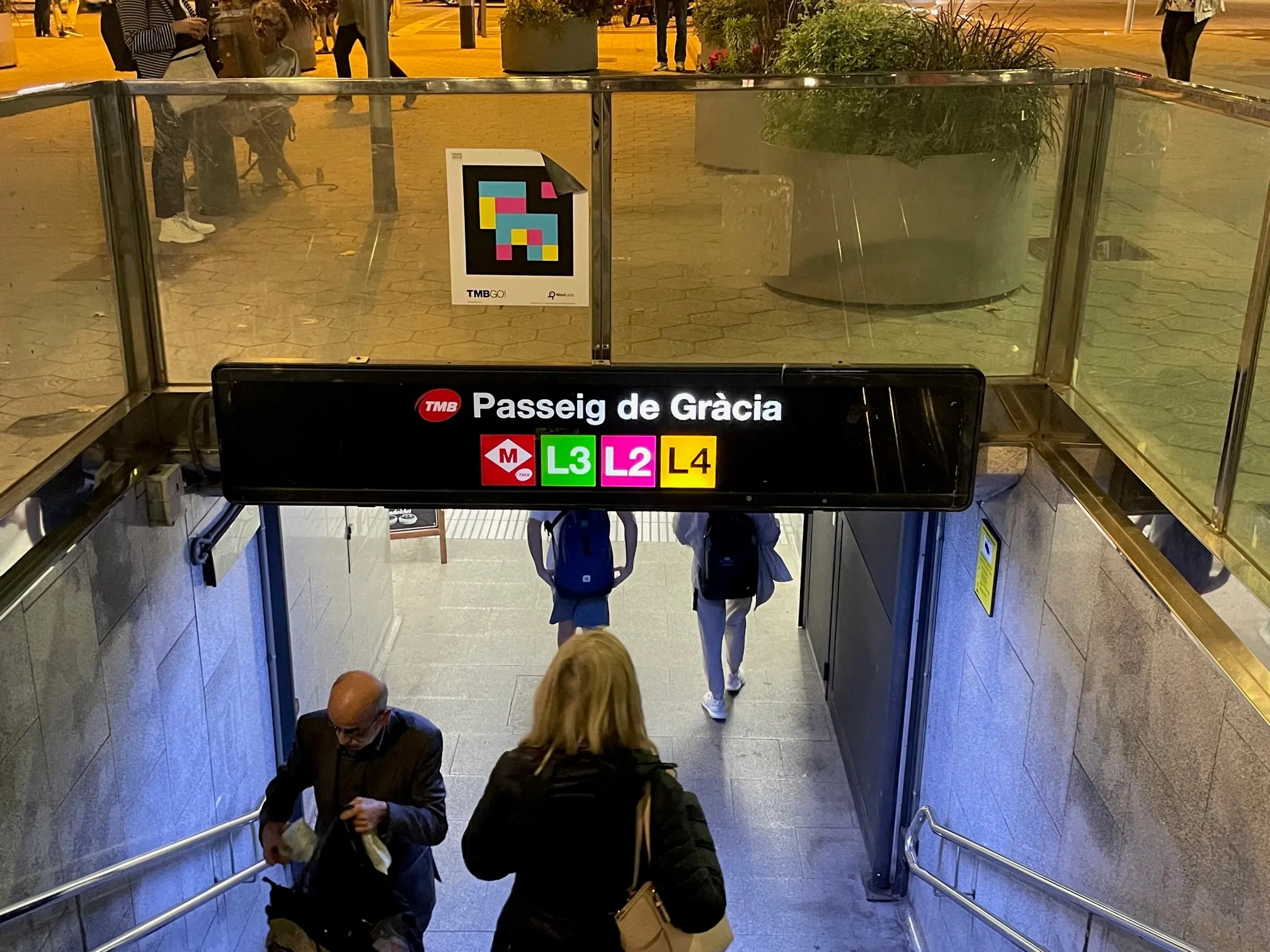
The L8 and L9 lines are yet to open on Barcelona's metro (© ITS International)

Barcelona City Council and the Barcelona Supercomputing Center – Centro Nacional de Supercomputación (BSC-CNS) aim to develop a digital twin tool that can be used by any city for urban planning.

The organisations have created a web platform which analyses whether Barcelona public facilities and services adheres to the 15-minute city model.

The initial phase of the project has made it possible to visualise mass transit and active travel scenarios - for instance, showing the coverage within a 10-minute walk of metro stops, before and after the opening of the future L8 and L9 lines.

BSC-CNS researchers have worked with the Municipal Institute of Informatics (IMI) and Barcelona Regional (BR) on a proof of concept that is intended to serve as a starting point for more elaborate analyses. 

The digital twin project seeks to understand how cities could work better by analysing data, evaluating resources, understanding the accessibility of services, and working with models that simplify the complexity, generating scenarios and visualising multiple variables (or combinations of variables) to help decision making.

Pre-testing different options for solving a problem on digital twins can anticipate results and prevent problems or crises, BSC-CNS says.

Once the first phase has been completed, BSC and the City Council plan to develop a more complex and robust digital twin project with more interrelated data.

Within the next four years, BSC-CNS will assume the technological and construction leadership, and the Barcelona City Council will be the potential data provider, with BR the customer.

Barcelona Municipal Institute of Informatics (IMI) will coordinate the project, and collaborate with other cities.

This second phase is part of the collaboration framework between Barcelona, Bologna, BSC, the Inter-University Consortium CINECA, and the University of Bologna. 

Related Content

  • What can we do as transport professionals to help save the world?! (Or at least try)
    January 18, 2024
    Does ChatGPT have an answer to this question? Yes. Is it the right one? Well, not exactly. What we really need is for transport to support the type of society we want, says Glenn Lyons. And you, as an individual, can make a difference...
  • Miovision's adapters connect intersections in 20 minutes
    June 3, 2015
    Ripping out legacy analog equipment is the biggest inhibitor for creating connected cities, says Dave Bullock, the managing director of ITS for Miovision. Fortunately, Miovision has developed a cost efficient adapter that can connect intersections across municipalities via 4G wireless networks in less than 20 minutes. Municipalities around the world are pushing local efforts to connect transportation infrastructure to centralized traffic management centers to better manage and monitor controllers, sensors a
  • GIS mapping smoothes ITS operations and increases efficiencies
    January 30, 2012
    Alexander Gerschenkron, the famous economic historian, once posited a benefit for those countries which come late to economic development: that they could introduce the latest technology and thus jump over some of the standard development paths followed by their predecessors . It is entirely possible to make the same observation of late-comers to ITS: that they can gain from the pains of those who went before and more easily implement best practice in ITS. As a consequence, it is entirely likely the Abu Dha
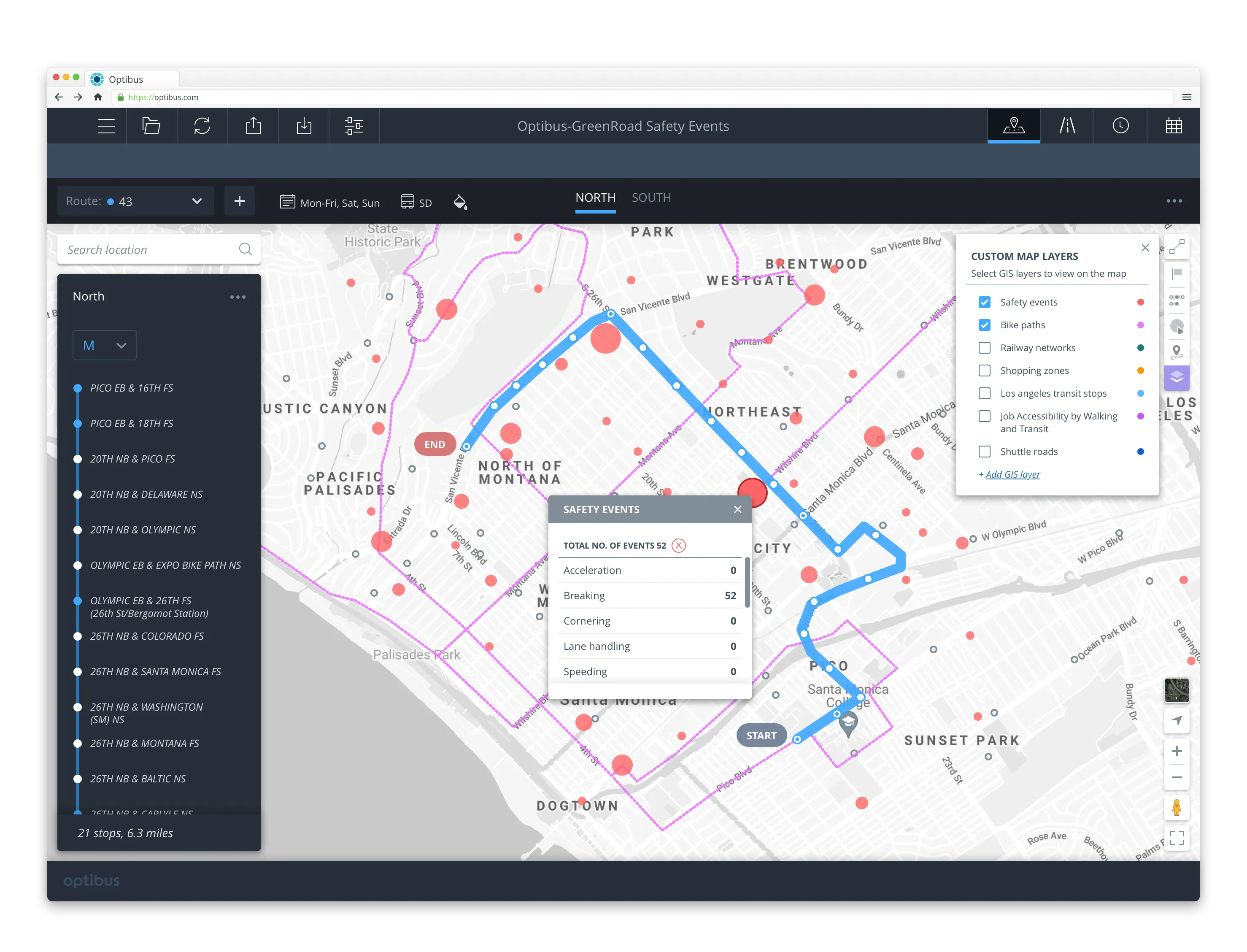
  • Optibus zeroes in on road safety data 
    October 15, 2021
    Planners can re-plan low-scoring routes to avoid hazard areas and increase safety