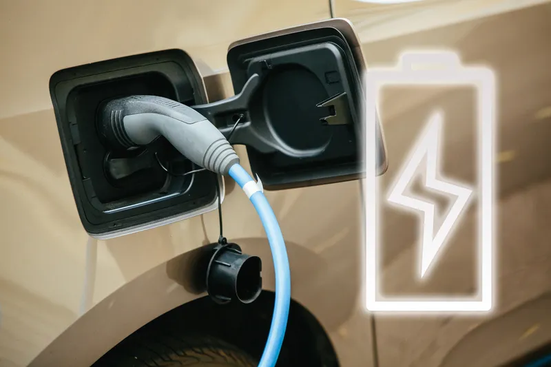
Non-profit testbed The Ray is using data provided by Geotab to determine the optimal locations for electric vehicle (EV) charging stations on interstates and highways in Georgia.
The Ray will carry out an analysis on a regional pilot corridor along I-20 from Dallas (Texas) to Atlanta and a local corridor from the Port of Savannah to the inland port in Atlanta.
Geotab is to develop graphs and heat maps, allowing The Ray to dial into the analysis and leverage data insights to determine the most strategic locations to build medium and heavy-duty charging infrastructure.
The Ray says the data will also help it better understand where and what type of additional truck parking is needed for EVs.
Allie Kelly, The Ray’s executive director, says: “To support the movement towards electrification in the transportation sector, we need accurate data to begin the planning of freight charging infrastructure. The data provided by Geotab gives The Ray access to world-class fleet movement data, as an overlay for our Esri ROW solar mapping tool, to prepare for the planning of EV charging infrastructure sites and medium/high voltage direct current transmission and distribution grid upgrades with our public and private partners.”
The Ray will also use the Geotab data to determine the land size needed to support medium and heavy-duty EV charging, optimise charging schedules, and create EV charging locations as close to the corridors as possible.
These advancements in charging infrastructure will support a goal by The Ray to develop EV lanes that charge while the vehicle is still in motion.
Charlotte Argue, fleet electrification manager at Geotab, says: “By leveraging connected vehicle insights, Geotab and The Ray are able to help inform investments in a strong and robust charging infrastructure to help make EVs more accessible, affordable and efficient for fleet operators while also helping maintain the health of the electric grid.”


