XYZT.ai adds time to the mobility equation

Timestamps on critical ITS data allow organisations to drive additional insights
By Andrew Bardin Williams April 29, 2024 Read time: 2 mins
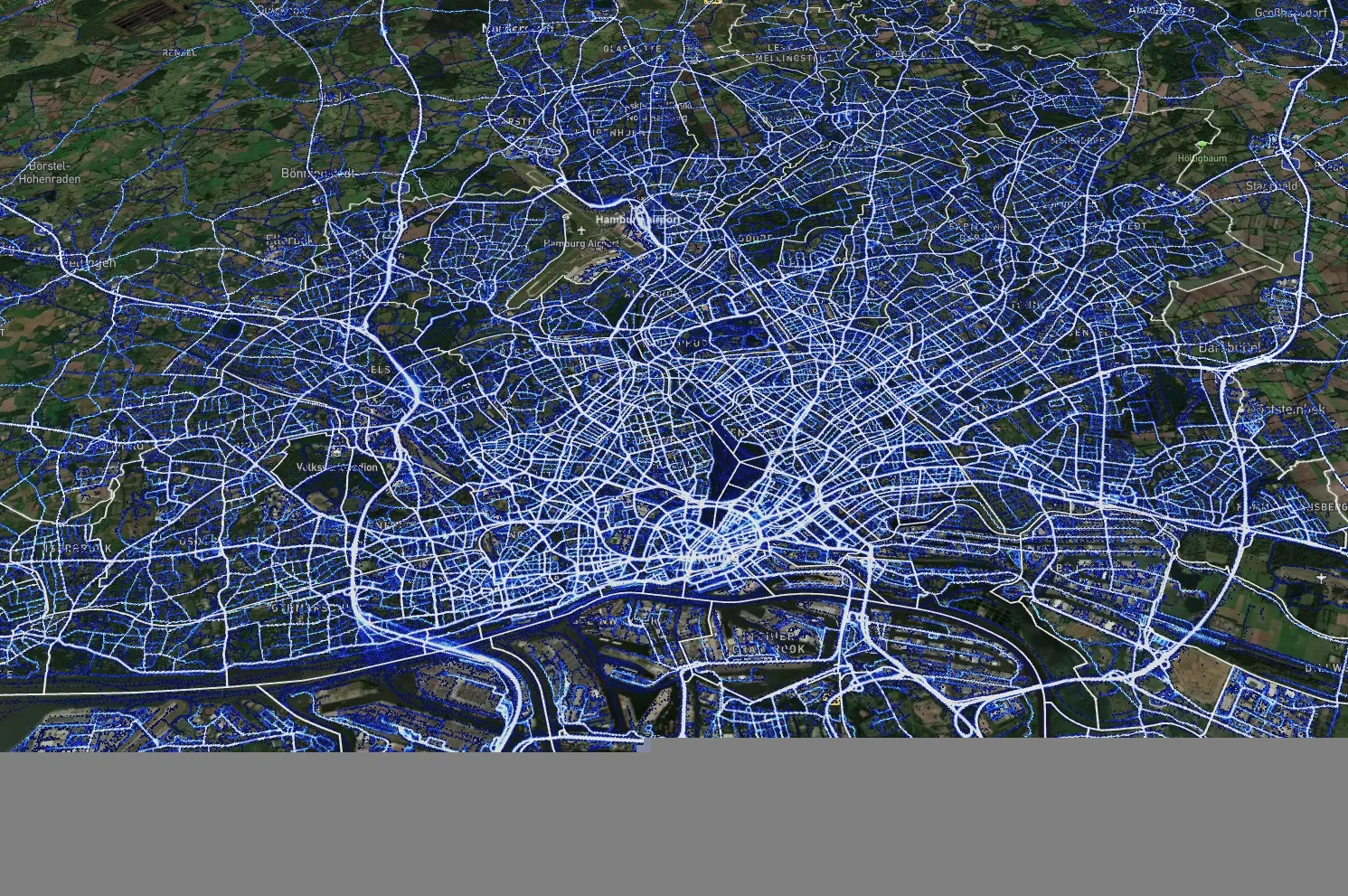
Data from Hamburg (image: XYZT.ai)

Location information has revolutionised the transportation industry, giving organisations pinpoint accuracy of vehicles, hazards and other road users across a variety of ITS applications dealing with traffic monitoring, autonomous driving, collision avoidance, pedestrian safety and others.

Belgian company XYZT.ai has taken this visibility one step further by adding timestamps to critical ITS data, allowing organisations to drive additional insights that take travel time and time of day into account. The company then presents this data in a visually appealing way that makes it easier for users to understand and work with the data in a meaningful way.

The City of Hamburg, for example, uses XYZT.ai for mobility analytics with floating vehicle data from Inrix.

According to Bart Adams, the company’s CTO, most companies look at data in the aggregate to identify trends and patterns - but it’s also important to be able to look at individual events that take place at a certain time. This includes a fleet manager tracking delivery timeframes, a delivery service optimising routes during the morning rush hour or a traffic engineer auditing travel times displayed on variable message signs. Adding time on top of location data and then presenting it in a way that is easy to consume makes this possible.

“There are billions of data points generated across a city every day,” said Lida Joly, XYZT.ai CEO, at last week's ITS America Conference & Expo 2024 in Phoenix, AZ. “It’s important that people are able to visualise this data in an effective way that allows them to make cities safer and better.”

For more information on companies in this article

Related Content

  • Calgary selects Inrix roadway analytics for real-time road performance analysis
    May 17, 2017
    The City of Calgary, Canada, has selected Inrix to supply its Roadway Analytics to help the city manage its road network with access to on-demand data to analyse, visualise and understand performance without the need for additional technology investments. The city can also identify and compare locations that are operating sub-optimally to help prioritise road improvement efforts. In addition, Roadway Analytics allows city planners to perform before and after studies to quantify and communicate the impact o
  • The future looks bright for ITS
    June 4, 2015
    Professor Eric Sampson talks about the past successes of ITS, its potential for the future and the challenges the industry faces. If anybody should know when Intelligent Transport Systems started that person is Professor Eric Sampson, a visiting professor at both Newcastle and London City Universities. Having spent 40 years working for the UK’s Department of Transport and other public administrations, Professor Sampson now supports the European Commission on ITS systems and advises ERTICO ITS-Europe and ITS
  • Digital twins promise no jam tomorrow
    June 6, 2024
    Every year, Transport for London helps make billions of road journeys congestion-free - but could it do better? Digital twin and graph technology are starting to make London less congested and greener, says database expert Aaron Holt
  • TfL to trial new bus sensor technology
    August 1, 2014
    Transport for London (TfL) is to trial detection software to enhance bus driver awareness of pedestrians and cyclists. The six-week trial will start later this month as part of a continued drive to improve road safety in the capital. Four buses will be fitted with brand new pedestrian and cyclist detection software which directly alerts bus drivers when pedestrians and cyclists are moving close to their vehicles, helping to reduce collisions. TfL is trialling two systems, CycleEye from Fusion Processi