XYZT.ai adds time to the mobility equation

Timestamps on critical ITS data allow organisations to drive additional insights
By Andrew Bardin Williams April 29, 2024 Read time: 2 mins
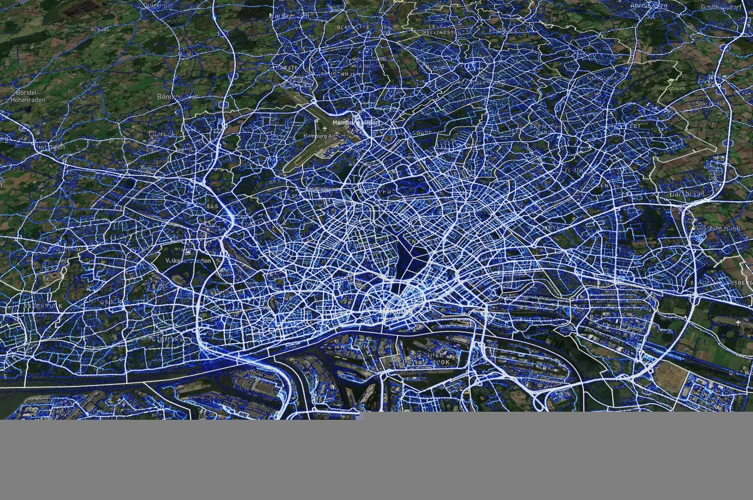
Data from Hamburg (image: XYZT.ai)

Location information has revolutionised the transportation industry, giving organisations pinpoint accuracy of vehicles, hazards and other road users across a variety of ITS applications dealing with traffic monitoring, autonomous driving, collision avoidance, pedestrian safety and others.

Belgian company XYZT.ai has taken this visibility one step further by adding timestamps to critical ITS data, allowing organisations to drive additional insights that take travel time and time of day into account. The company then presents this data in a visually appealing way that makes it easier for users to understand and work with the data in a meaningful way.

The City of Hamburg, for example, uses XYZT.ai for mobility analytics with floating vehicle data from Inrix.

According to Bart Adams, the company’s CTO, most companies look at data in the aggregate to identify trends and patterns - but it’s also important to be able to look at individual events that take place at a certain time. This includes a fleet manager tracking delivery timeframes, a delivery service optimising routes during the morning rush hour or a traffic engineer auditing travel times displayed on variable message signs. Adding time on top of location data and then presenting it in a way that is easy to consume makes this possible.

“There are billions of data points generated across a city every day,” said Lida Joly, XYZT.ai CEO, at last week's ITS America Conference & Expo 2024 in Phoenix, AZ. “It’s important that people are able to visualise this data in an effective way that allows them to make cities safer and better.”

For more information on companies in this article

Related Content

  • Seoul Robotics thinks everything’s better in 3D
    January 9, 2024
    As more and more of us will live in urban areas and need to share space on the road, 3D perception and smart cities point the way to safer transportation, says William Muller of Seoul Robotics
  • Toll performance exceeds expectations, improves travel times
    January 30, 2012
    Jean Harito, Attica Tollway Operations Authority and Steve Morello, Egis Projects describe how looking to exceed contractual obligations makes good operational and business sense. The Attica Tollway is a modern, 65km, access-controlled urban motorway with three lanes in each direction. It constitutes the ring road around the extensive metropolitan area of the Greek capital, Athens, and forms the backbone of the entire road network in the Attica region. By ensuring freeflow operating conditions, the Attica T
  • Sign language reduces human error says Clearview
    September 26, 2019
    Wrong-way warning systems and advanced queue detection can help to reduce human error. They can also cut road accidents – and therefore road deaths, says Clearview Intelligence Where were nearly 1,800 deaths on the UK’s roads in 2018 – an average of five people dying each day. The largest single cause of serious injury is crashes at junctions (accounting for 33% of incidents), while the largest single cause of death was run-off road crashes (30%) “With vehicles increasingly being designed with saf
  • No, it's not just a buzzword
    July 1, 2025
    Artificial intelligence is coming to ITS – but how do we best use it? What’s it for? Ekin Smart City Technologies, Verra Mobility and Flow Labs answer Adam Hill’s questions…