
Valerann's AI platform used by Openvia in Costa Rica

Deployment is on 76.8 km Ruta 27 highway which connects San Jose with Caldera
By Adam Hill May 19, 2023 Read time: 2 mins
Valerann's AI platform is used for real-time traffic monitoring in Costa Rica (© Rainer Lesniewski | Dreamstime.com)

Openvia, the technology platform of road concessionaire Globalvia, has chosen Valerann's AI platform for real-time traffic monitoring in Costa Rica.

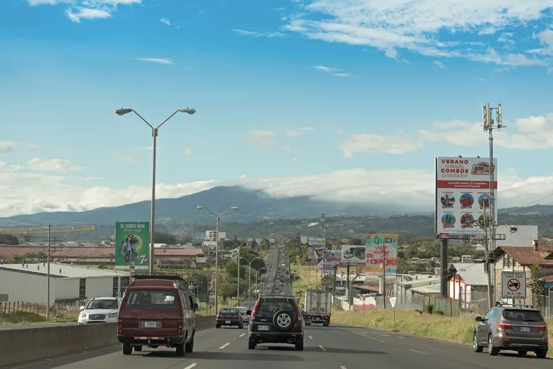
The Latin American country's Ruta 27 highway is 76.8 km long, connecting the capital San Jose with Caldera, a port in the Central Pacific Region.

The 'Green Route of Costa Rica’ carries 100,000 vehicles per day, and Lanternn by Valerann is deployed with Ruta 27 roadside infrastructure -
33 mobile and 22 fixed cameras - to provide real-time road traffic information for areas outside the cameras’ vision.

The data analytics solution takes in and processes real-time data from sources including Waze, Google Maps, concessionaire units and vehicle GPS, allowing authorities to detect road incidents and identify traffic issues.

“Ruta 27 introduced smart transport systems to Costa Rica," said Andrés Viveros, director of Ruta 27 operations.

"We are the only route in the country to be monitored by a holistic system and now with the introduction of this new technology what we are looking to do is continue at the cutting edge of transport systems, allowing Ruta 27 to continue as a road of international standard."

Ran Katzir, chief technology officer at Valerann, says: "This deployment is another step in our mission to improve road safety and operations performance all around the world.”

For more information on companies in this article

Related Content

  • ITS-NY Announces 2012 Project of the Year Award Winners
    June 13, 2012
    The Intelligent Transportation Society of New York (ITS-NY) has announced the 2012 ITS-NY Project of the Year Winners at its Nineteenth Annual Meeting and Technology Exhibition in Saratoga Springs, NY. “These winning projects feature ITS and technologies at work in New York State to improve traveller mobility and safety, as well as the efficiency of New York State’s transportation system across all modes of travel,” said Dr Isaac Takyi, ITS-NY president. Winning Projects were announced in the following ITS
  • Missouri’s smart solution for rural road monitoring
    July 7, 2017
    David Crawford sees how Missouri is using commercially available information to rapidly improve monitoring and driver information on rural highways. Missouri is a predominantly rural state with the second largest number of farms in the country and agriculture the main occupation in 97 of its 114 counties. US statistics starkly reveal how road accidents in rural areas tend to be more serious than in urban regions and of the 32,000 US motorists killed each year, 54% die on roads in rural areas even though onl
  • Bluetooth and Wi-Fi offer new options for travel time measurements
    November 20, 2013
    New trials show Bluetooth and Wi-Fi signals can be reliably used for measuring travel times and at a lower cost than an ANPR system, but which is the better proposition depends on many factors. Measuring travel times has traditionally relied automatic number plate (or licence plate) recognition (ANPR/ALPR) cameras capturing the progress of vehicles travelling along a pre-defined route. Such systems also have the benefit of being able to count passing traffic and have become a vital tool in dealing with c
  • Control room tech ends data overload
    July 22, 2021
    There have never been so many data sources available to traffic control centre operators – but too much data can be as bad as too little when making decisions. Adam Hill asks how control room technology companies can help operators screen out the white noise