TrafficLand partners with Weather Telematics to expand road weather data offerings

TrafficLand has agreed with Weather Telematics to integrate and resell its proprietary all hazards and predictive weather data designed to improve mobility safety, media reporting and public agency situational awareness. The project aims to provide a complete resource for all hazard weather data affecting driver safety. Weather Telematics and TrafficLand content is available across the U.S. as well as a growing list of markets internationally. The data is available via several platforms, including API and
January 5, 2018 Read time: 2 mins

1964 TrafficLand has agreed with Weather Telematics to integrate and resell its proprietary all hazards and predictive weather data designed to improve mobility safety, media reporting and public agency situational awareness. The project aims to provide a complete resource for all hazard weather data affecting driver safety.

Weather Telematics and TrafficLand content is available across the U.S. as well as a growing list of markets internationally. The data is available via several platforms, including API and map-based services.

Bob Moran, Weather Telematics, CEO, said: “Partnering with TrafficLand is a natural fit for Weather Telematics. TrafficLand has the largest network of live roadway traffic cameras by far, and when it comes to safeguarding drivers, delivering weather alerts with real-time video provides a more complete picture about ground level conditions.”      

Lawrence Nelson, CEO of TrafficLand, said: “Since its founding in 2001, TrafficLand has been on a mission to help raise awareness about roadway travel conditions. This new content from Weather Telematics is an important addition to the advanced AI and machine learning-based ground level information that is helping to increase travel safety by revolutionizing so many industries and interactions.”

For more information on companies in this article

Related Content

  • Driving forward cooperative intersection safety applications
    July 24, 2012
    Gregory Davis, FHWA, John Harding, NHTSA, and Mike Schagrin, ITS Joint Program Office (RITA) chart the course for cooperative intersection safety applications being pursued as part of the IntelliDrive programme. Crashes at intersections accounted for 8,703 highway fatalities in the US in 2008. Research and development is moving forward on IntelliDriveSM safety applications designed to help drivers avoid intersection accidents. These new safety systems could substantially drive down the highway death and inj
  • EdgeVis removes bandwidth barriers to mobile streamed video
    October 26, 2017
    A new generation of video compression can lower transmission costs of data and make streaming from mobile and body-worn cameras a reality, as Colin Sowman discovers. Bandwidth limitations have long been the bottleneck restricting the expanded use of video streaming for ITS, monitoring and surveillance purposes. Recent years have seen this countered to some degree by the introduction of ‘edge processing’ whereby ANPR, incident detection and other image processing is moved into (or close to) the camera, so
  • Commsignia's V2X OBU Lite set to protect vulnerable road users
    July 31, 2023
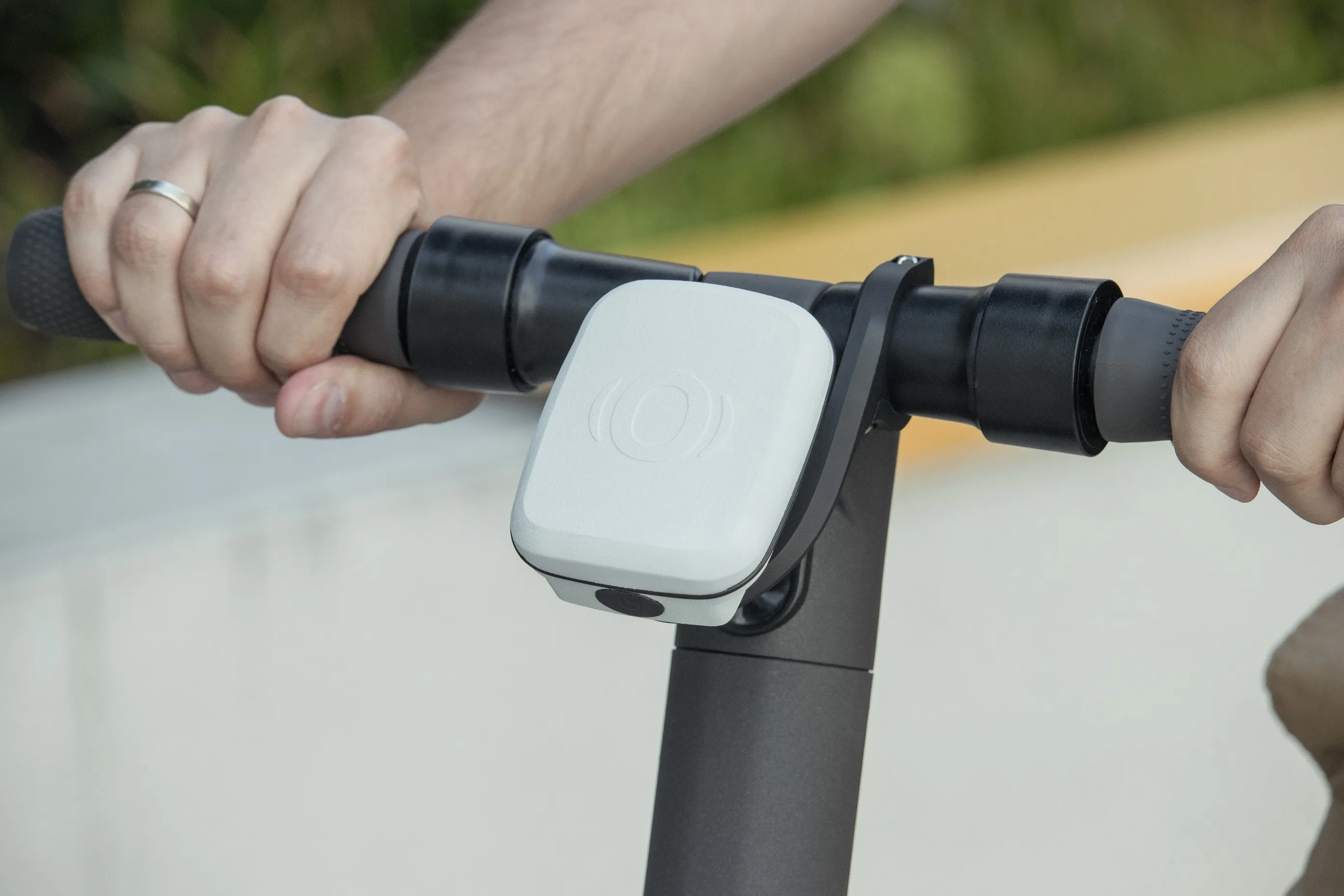
    Lightweight Vehicle to Everything device designed to be fitted to micromobility vehicles
  • Data crunching ‘can prevent cars crashing’
    March 25, 2013
    Having already cut traffic collisions resulting in injuries and deaths by nearly forty per cent in five years by analysing patterns from data it has collected, the city of Edmonton, Canada, is using predictive technologies to increase road safety even more. The city’s Office of Traffic Safety (OTS) has installed as many as 200 digital signs as just one element of an innovative traffic safety program that has dramatically reduced vehicle collisions in the Edmonton region since OTS launched in late 2006. Unde