StreetLight Data offers intersection metrics 

Company says planners can improve congestion and save endless hours of data collection
By Ben Spencer September 23, 2021 Read time: 2 mins
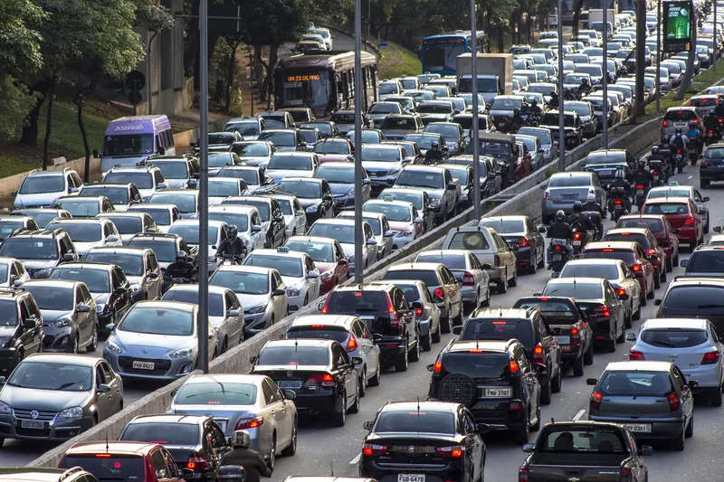
StreetLight TMC features include an estimated volume counts with 15-minute granularity (© Ryan Deberardinis | Dreamstime.com)

StreeLight Data has unveiled metrics that allow transportation engineers and planners to compile a turning movement count (TMC) for nearly every intersection across the US and Canada. 

StreeLight says Covid-19 protocols have challenged traditional traffic count methods in the last year and a half. 

The new TMC Metrics will significantly affect traffic impact analyses, corridor studies and signal optimisation, the company adds. 

According to StreetLight, the results save endless hours of data collection and skip the sample-size challenges of manually collected 48-hour counts while keeping workers safe.

The metrics are delivered on-demand, in exportable tables and intersection diagrams without time-consuming post-processing.

StreeLight co-founder Laura Schewel says: “With our TMC Metrics, we’ve added another efficient tool to help planners and engineers understand today’s dynamic local traffic landscape. Teams can spend their valuable time improving congestion instead of manually compiling results.”

TMC features include an estimated volume counts with 15-minute granularity for any time of day or week, quick intersection selection with the new easy zone set-up and a new intersection diagram and TMC table featuring the peak hour factor. 

The metrics can be used to measure peak am /pm hours for traffic impact analyses and capacity analyses, determine intersection traffic activity for safety planning and to get intersection traffic counts as an input for dynamic traffic assignment or microsimulation.


For more information on companies in this article

Related Content

  • Lidar lets planners see big picture in Chattanooga
    April 14, 2025
    The city of Chattanooga, Tennessee, is attempting to make its streets safer by using the largest deployment of Lidar-based traffic detection in the US. Adam Hill reports…
  • Asking drivers what information they need: radical but effective
    March 19, 2014
    When Texas A&M Transportation Institute was asked to devise a temporary traveller information system for work zones, it started by asking drivers what they need. Robert Brydia explains the thinking, implementation and results. US Interstate 35 (I-35) runs roughly north–south originating in Laredo, Texas and ends 1,500 miles away in Duluth, Minnesota having passed through Oklahoma, Kansas, Missouri and Iowa. Within Texas the I-35 splits into I-35E and I-35W passing through Dallas and Fort Worth respectiv
  • Challenges and benefits of adaptive signal control
    April 23, 2013
    Delcan’s Joe Lam, who managed the first computerised signal system in the world, provides an expert insight into adaptive signal control. There are no gadgets in the world that regulate our daily behaviour as much as traffic signals, except perhaps our mobile phones. It has been estimated that the daily commuter goes through at least 10 signals on his journey to work. However, unlike mobile phones, traffic signals cannot be ignored or switched off by their daily users, at least not without legal consequence
  • Ranked: the world's most congested cities
    January 22, 2025
    Inrix data suggests billions of hours are lost worldwide, hampering economies