
LA Metro signs three-year $1.3m ClearGuide SaaS deal with Iteris

Los Angeles agencies will continue using the product which is part of the ClearMobility platform
By Adam Hill July 12, 2023 Read time: 1 min
To live and drive in LA (© Choneschones | Dreamstime.com)

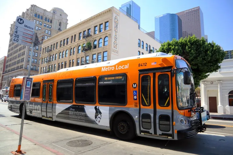
Los Angeles County Metropolitan Transportation Authority (LA Metro) has signed a three-year, $1.3m Software as a Service (SaaS) agreement with Iteris for the continued use of the latter's ClearGuide traffic data platform.

It will enable LA Metro and its various agencies to analyse and visualise traffic data to improve roadway mobility and safety with part of Iteris’ ClearMobility platform.

LA Metro will have access to ClearGuide features such as bottleneck detection and alerts; dynamic maps to support detailed traffic analysis; tools to help identify and mitigate congestion; animations to analyse events and optimise response plans; plus historical trend reports and dynamic congestion charts.

There are also dashboards for monitoring trends; and customisable analysis of major roadways for a range of transportation management and operations applications.

“We’re delighted to continue our strong partnership with LA Metro, which is dedicated to improving mobility in the Los Angeles area,” said Scott Perley, vice president of program management at Iteris.

“With ClearGuide, LA Metro can turn data into insights for smart, data-driven decisions that will improve the accessibility, efficiency and sustainability of the region’s transportation system.”

For more information on companies in this article

Related Content

  • LA considers free public transit
    October 13, 2020
    Plan to make bus and train travel fareless in LA County to be presented by end of 2020
  • Data holds the key to combating VRU casualties
    May 8, 2015
    Accident analysis software can help authorities identify common causes and make best use of their budgets, as Will Baron explains. More than 1.2 million people die on the world’s roads each year and according to the World Health Organisation, half of these are pedestrians and vulnerable road users (those whose vehicle does not have a protective shell, such as motorcyclists and cyclists). While much has been done to improve road safety and cut the number of deaths and serious injuries on our roads, a great d
  • Crowd-sourced data feed enhances traffic monitoring
    November 20, 2012
    In the US, NaviGAtor 511, Georgia’s traveller information system, has partnered with Waze to provide enhanced traffic information. Waze, a crowd-sourced social GPS and real-time traffic application for smartphones and Android phones, will provide enhanced traffic data to the current 511 system, and create a special 511 user group, specifically for Georgia travelers, within the existing Waze mobile app. The arrangement was provided for under an existing marketing contract with Iteris, the firm that has opera
  • Downtown Chattanooga gets smarter
    January 10, 2023
    Seoul Robotics will deliver 86 new smart city intersections in Tennessee city