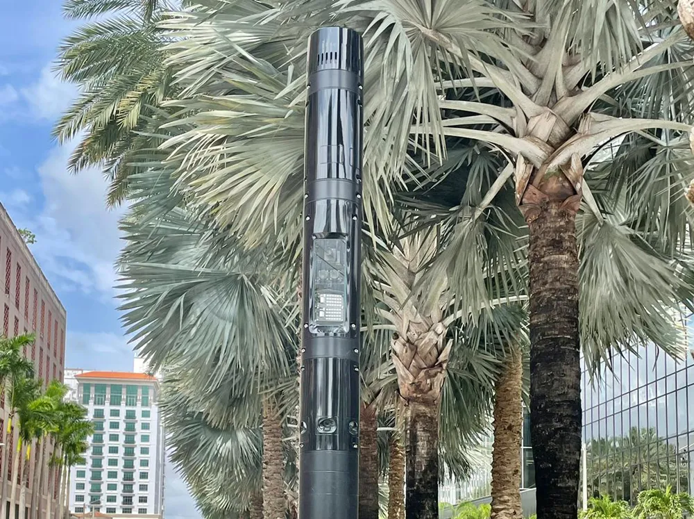
The platform combines and integrates real-time information from over 200 permanent traffic sensors and 3,000 mobile sensors, installed at various locations across the Country.
Through Geographic Information Systems (GIS), it displays all the traffic information gleaned and validated by the control centre on an interactive map. The website can provide different agencies responsible for mobility or other public entities over 2,000 types of different traffic reports.
Kuwait’s emergency and law enforcement services can use the information to respond to incidents in a more coordinated manner.
Citizens can access the website and can check the status of traffic on their mobile devices along the two main arteries to enter and exit downtown Kuwait City as well as view estimated travel times.
The implemented technologies enable analysis of service levels on road networks, and traffic flows at intersections such as circles, crossings, junctions and transport hubs or points where traffic is backed up. Weighing systems are designed to monitor the transport of goods to gain a greater oversight on vehicle weights and their effects, primarily on roadbed wear and tear. These solutions provide authorities with the means to optimize the scheduling of maintenance and resurfacing and create legislation for roadbed design.
Indra deploys traffic monitoring system to improve mobility, Kuwait
Indra has created a new traffic control centre in Kuwait equipped with its smart traffic and tunnel management platform, Horus, to present a graphic format of collected traffic data to operators and citizens. Analysis of the data is designed with the intention ascertaining commuter patterns or traffic growth, plan traffic infrastructures and develop new mobility laws and legislation. The platform combines and integrates real-time information from over 200 permanent traffic sensors deployed and 3,000
December 15, 2017
Read time: 2 mins


