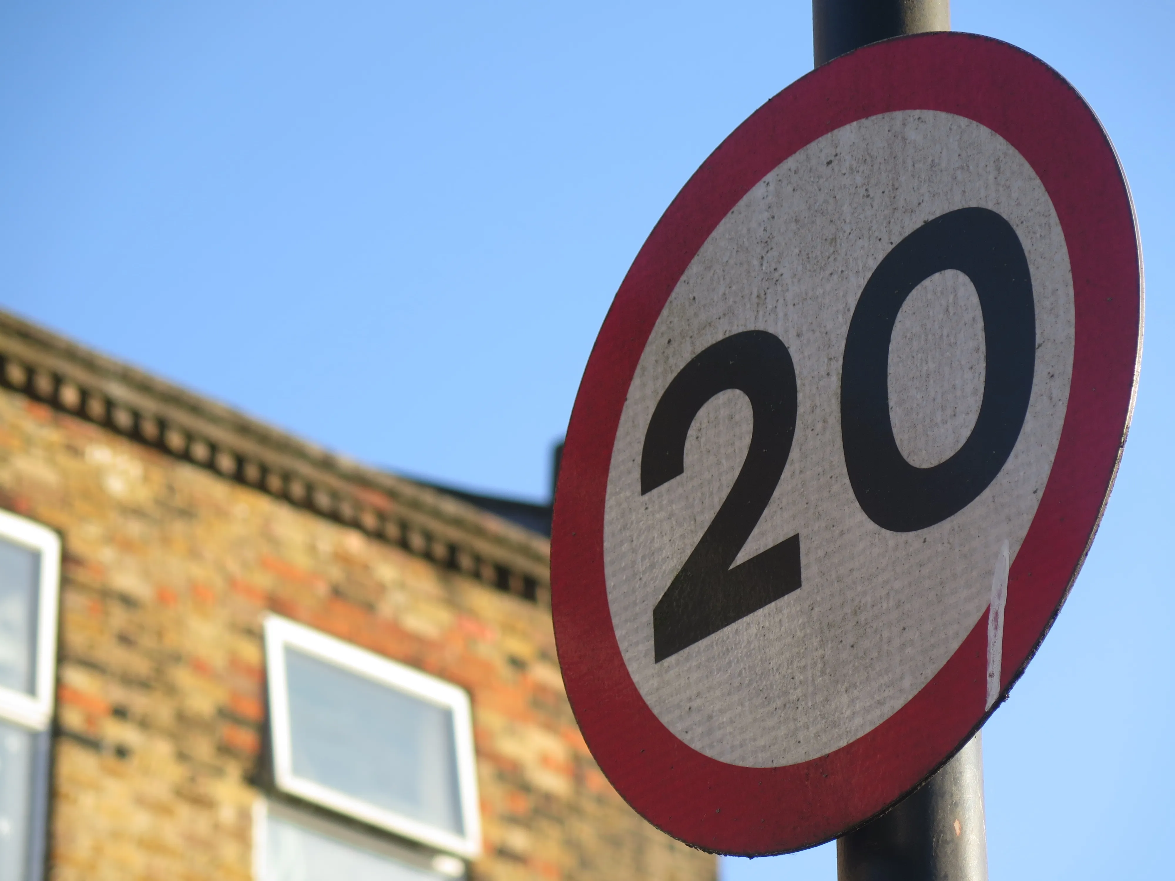
A new system which collects data on road traffic collisions from police forces is set to be implemented across England and Wales. Collision Recording And Sharing (CRASH) has been built for the Home Office and Department for Transport (DfT) by systems integrator IPL. The platform will help pinpoint accident ‘black-spots’ to enable the DfT, Highways England and local authorities to work together to make safety improvements to the road network.
All English and Welsh police forces are expected to be feeding
A new system which collects data on road traffic collisions from police forces is set to be implemented across England and Wales. Collision Recording And Sharing (CRASH) has been built for the Home Office and 1837 Department for Transport (DfT) by systems integrator IPL. The platform will help pinpoint accident ‘black-spots’ to enable the DfT, 8101 Highways England and local authorities to work together to make safety improvements to the road network.
All English and Welsh police forces are expected to be feeding collision information into CRASH by March 2016, many of them via a dedicated mobile app. The information will provide the agencies with a national overview of road collision information, enabling them to focus on highways improvement budgets and safety schemes more effectively by targeting problem roads and junctions.
By pulling in data from other official systems, such as vehicle and registered keeper information from the DVLA, via the Police National Computer system, CRASH saves police forces time when they are logging collisions, while also improving the accuracy of the information collected at the accident scene. Collision locations are also more easily pinpointed, through the use of interactive maps.