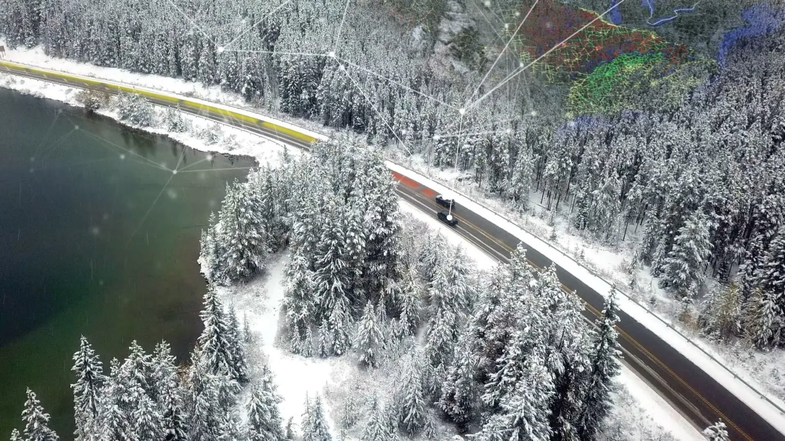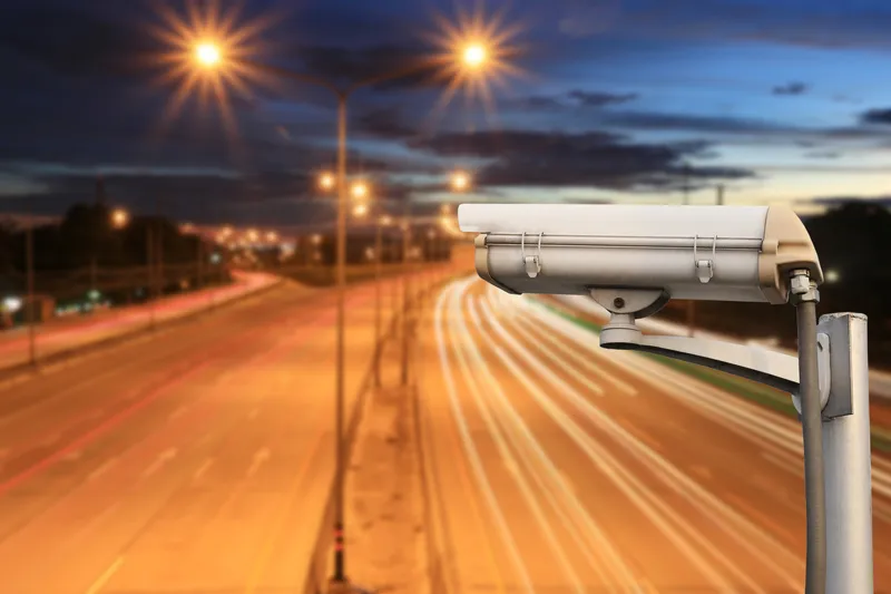
Vanderbilt University and the Tennessee Department of Transportation (TDoT) are using more than 300 cameras to anonymously capture vehicle behaviour along a six-mile stretch of the I-24.
The I-24 runs diagonally from 1-57, 10 miles south of Marion, Illinois, to Chattanooga, Tennessee, at I-75.
Installation of the cameras is expected to be complete and fully operational by summer 2022.
As the first testbed user, the Circles (Congestion Impacts Reduction via CAV-in-the-loop Lagrangian Energy Smoothing) consortium will study the possibility of smoothing traffic by introducing vehicles equipped with advanced driver assist systems.
Circles is led by UC Berkeley and the Institute of Transportation Studies (ITS) Berkeley, in coordination with a range of partners which include Vanderbilt, TDoT, Toyota and General Motors.
Dan Work, associate professor of civil and environmental engineering at Vanderbilt, says: “We want to measure how drivers and automated vehicles interact on the road, separately and together. This research will help make the world’s roadways smarter and safer, with the initial research conducted right here in Tennessee.”
The I-24 Motion project - which includes input from consulting firm Gresham Smith – will see video feeds transmitted over a fibre-optic network and processed through custom artificial intelligence (AI) trajectory algorithms developed by Work and his team.
Vanderbilt says the algorithms will process vehicle positions at over 30 measurements per second and use 3D image processing to give the most accurate measure of a vehicle’s position.
Brad Freeze, director of TDoT’s traffic operations division, says: “This groundbreaking understanding of traffic is more important than ever due to the increasing automation capability of individual vehicles, which are beginning to influence traffic flow through their interactions with conventional vehicles."
"By unlocking a new understanding of how these vehicles influence traffic, vehicle and infrastructure design can be optimised to reduce traffic concerns in the future to improve safety, air quality and fuel efficiency.”