Wejo learns from history

Product which accesses historical travel patterns allows agencies to enable future mobility
By Adam Hill June 20, 2022 Read time: 2 mins
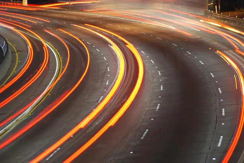
Understanding how traffic moved in the recent past will help solve future mobility issues (© David Mcshane | Dreamstime.com)

Wejo Group has launched a product which gives users seeking to address future urban mobility challenges the ability to request specific data and insights on how US traffic has moved over the last few years.

Wejo Historic Traffic Patterns comes directly from millions of connected vehicles that have been on up to 95% of America’s roads and highways - which means time- and place-specific information is available even if no monitors or sensors have been previously installed.

The company says this allows government agencies, civil engineering firms, mapping/navigation providers and logistics companies to gather insights directly via an API from the Wejo platform or via the Wejo Studio analytics portal.

Data includes travel times, road speeds, vehicle volume density, harsh braking and rapid acceleration.

“The public and private sectors can utilise this incredibly accurate historical data and in-depth insights to build smart mobility plans that can address road network challenges today and tomorrow,” said Richard Barlow, Wejo founder and CEO.

This allows them to make "data-backed, informed decisions to avoid congestions, reduce crashes, and save lives", he added.

Wejo believes it will be of benefit to autonomous vehicle manufacturers, allowing them to reproduce 'real' traffic conditions anywhere in the US and create a complete digital twin of vehicle flows to train algorithms faster.

“The ability to access highly granular and accurate historical data about road traffic and congestion generated by millions of connected vehicles on the road today has countless applications for both public and private sector entities,” said Mark Timms, principal product manager at Wejo.

“This can include everything from providing accurate traffic data to inform on large infrastructure projects to helping fleets reduce emissions and provide better on-time delivery simply by understanding what traffic looked like at specific locations and moments in the past.”

For more information on companies in this article

Related Content

  • Aisin's RoadTrace tool emerges as predictive aid to reach Vision Zero
    December 4, 2024
    Solution uses 'harsh-braking' data to identify crash blackspots
  • Joining the dots: four ways to help cities make the connection
    May 18, 2018
    Smoothing the path to connected transportation systems in urban areas all round the world takes a lot of planning: Cisco’s Kyle Connor lays out the four key areas on which he thinks cities should focus. Forward-thinking cities around the world are exploring innovative, new ways to leverage the Internet of Things (IoT) and related technologies to create more connected and efficient transportation systems. Through greater digitisation and connectivity, cities can optimise public transit routes, reduce
  • New thinking needed on the transportation front
    December 10, 2014
    Having spent his working life in transportation, Larry Yermack gives his views on today’s technology challenges. I remember it vividly; it was the late 80s, soon after I started as CFO of the Triborough Bridge and Tunnel Authority and I was standing mid-span on the deck of the Verrazano Narrows Bridge on a Friday afternoon.
  • Vehicle manufacturers and local authorities seek satnav solutions
    December 5, 2013
    The increasing capability of satellite navigation is helping vehicle manufacturers and local authorities as well as individual drivers and fleets. In comparison to the physical ITS infrastructure in towns and cities and on motorways and highways, satellite navigation (satnav) systems have come a long way in a short time. Many (if not the majority) individual drivers and fleets use or have access to a satnav and now the vehicle manufacturers and even local authorities are beginning to utilise satnav derived