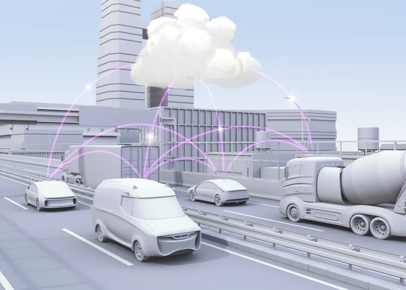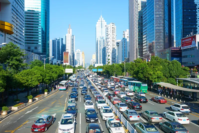
Wejo Group has launched a product which gives users seeking to address future urban mobility challenges the ability to request specific data and insights on how US traffic has moved over the last few years.
Wejo Historic Traffic Patterns comes directly from millions of connected vehicles that have been on up to 95% of America’s roads and highways - which means time- and place-specific information is available even if no monitors or sensors have been previously installed.
The company says this allows government agencies, civil engineering firms, mapping/navigation providers and logistics companies to gather insights directly via an API from the Wejo platform or via the Wejo Studio analytics portal.
Data includes travel times, road speeds, vehicle volume density, harsh braking and rapid acceleration.
“The public and private sectors can utilise this incredibly accurate historical data and in-depth insights to build smart mobility plans that can address road network challenges today and tomorrow,” said Richard Barlow, Wejo founder and CEO.
This allows them to make "data-backed, informed decisions to avoid congestions, reduce crashes, and save lives", he added.
Wejo believes it will be of benefit to autonomous vehicle manufacturers, allowing them to reproduce 'real' traffic conditions anywhere in the US and create a complete digital twin of vehicle flows to train algorithms faster.
“The ability to access highly granular and accurate historical data about road traffic and congestion generated by millions of connected vehicles on the road today has countless applications for both public and private sector entities,” said Mark Timms, principal product manager at Wejo.
“This can include everything from providing accurate traffic data to inform on large infrastructure projects to helping fleets reduce emissions and provide better on-time delivery simply by understanding what traffic looked like at specific locations and moments in the past.”


