TfL and Google Maps riding side by side on London cycling

Google has added hundreds of kilometres of new cycle lane data to its mapping products
By Adam Hill October 18, 2023 Read time: 2 mins
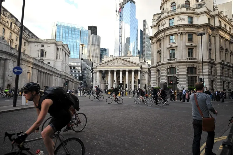
Safety first (© ITS International | Adam Hill)

Transport for London (TfL) has teamed up with Google Maps to give cyclists in the UK capital more information on safe routes.

Google has updated its algorithms to prioritise cycling on safer, less busy roads and make them easier to discover within Google Maps, and says most users in London will have access by the end of 2023.

The company uses information from TfL to do this, adding hundreds of kilometres of new cycle lane data to its products and informing cyclists of traffic conditions and nearby cycling infrastructure.

London’s walking and cycling commissioner, Will Norman, says: “With existing digital journey planning data, cyclists haven’t always been able to see the best route available to them. These updated algorithms will help Londoners choose safer cycling routes."

TfL says 24km of new or upgraded cycle routes have been delivered since April 2022 in London, and there are plans to open at least another 40km by March 2024. The organisation adds that it has reduced danger at 44 junctions across London as part of its Safer Junctions programme, with work on at a further two locations set to start early in 2024.

Google worked with TfL’s Open Innovation team to improve cycle routing in Google Maps, with TfL providing pre-launch feedback on product enhancements and continuing to comment as it is rolled out.

Google Maps is also introducing  Immersive View for cycle routes on Google Maps this year - in 'select cities around the world' including London - which lets users preview routes in advance, including all cycle lanes and junctions along the journey. 

Related Content

  • September 22, 2015
    Interactive digital map shows road collision history across London
    London’s first interactive digital collision map has been launched by the Mayor and Transport for London (TFL) as part of a continued drive to improve road safety awareness to reduce the number of casualties in the capital. The London Collision Map uses extensive data, collected by the police and held by TfL, to shine a light on road collisions in local areas. This creates a useful new way to inform road users about junctions with high collision histories and aiding improvement work in line with TfL’s co
  • July 9, 2014
    London’s first segregated cycle superhighway planned
    Thousands of cyclists will no longer have to use the Vauxhall gyratory, one of the most threatening in London, under plans published today for central London’s first segregated cycle superhighway. A continuous two-way and separated east-west track will be built from Kennington Oval to Pimlico, through the gyratory and across Vauxhall Bridge, breaking one of the most significant barriers to cycling in the capital. There will also be substantially more space for pedestrians, with around one square kil
  • June 5, 2015
    TfL trials cyclist detection
    New world first trials would allow TfL to better cater for cyclists at key junctions Further on-street trials will take place later this year TfL now given blanket approval from DfT to install low-level cycle signals at junctions Transport for London (TfL) is to trial a new technology that will help give cyclists more time on green lights.
  • May 18, 2020
    Car-free zones part of London 'reimagining'
    Parts of central London will become “one of the largest car-free zones in any capital city in the world”, according to the city’s mayor Sadiq Khan.