TfL and Google Maps riding side by side on London cycling

Google has added hundreds of kilometres of new cycle lane data to its mapping products
By Adam Hill October 18, 2023 Read time: 2 mins
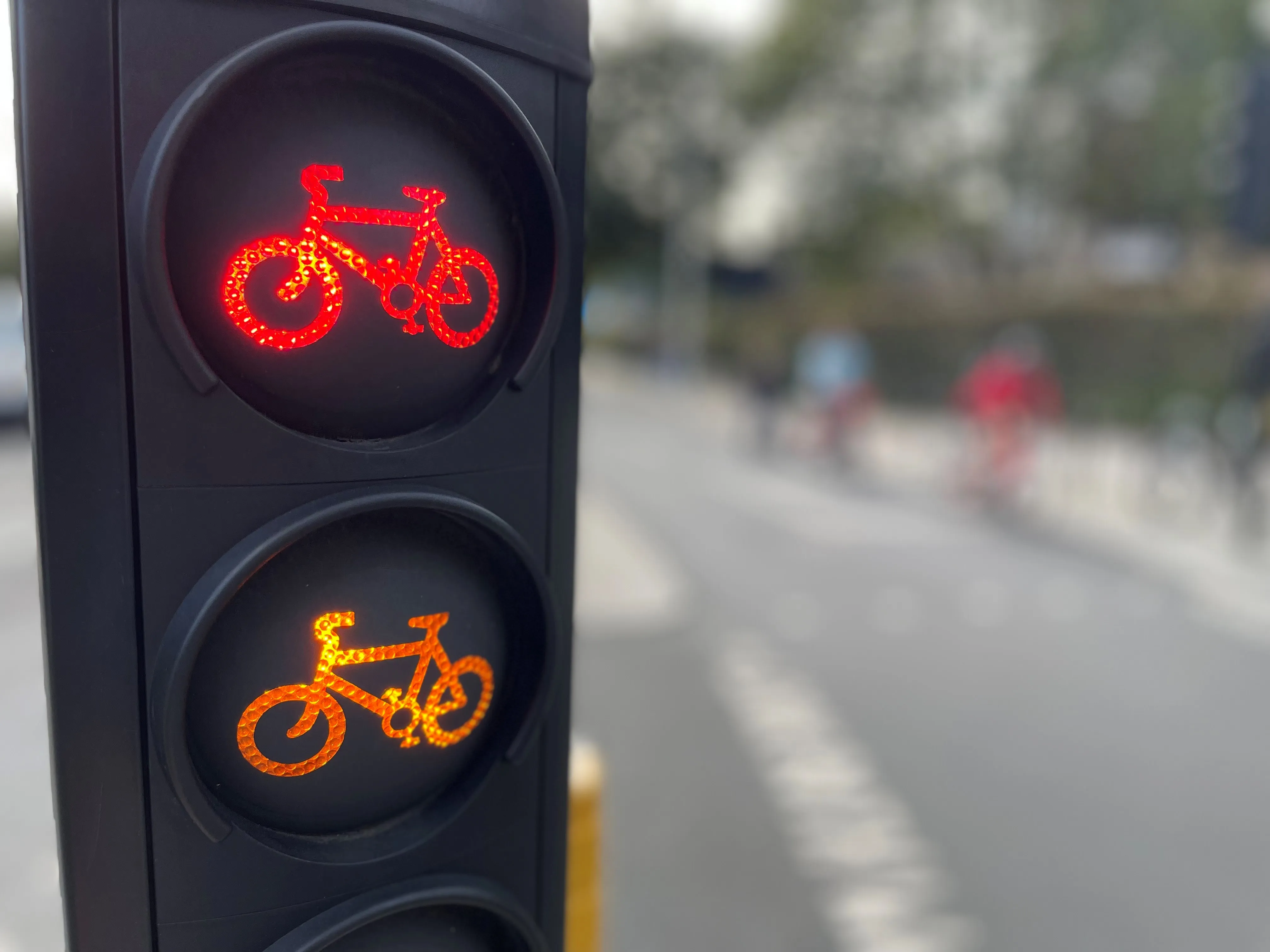
Safety first (© ITS International | Adam Hill)

Transport for London (TfL) has teamed up with Google Maps to give cyclists in the UK capital more information on safe routes.

Google has updated its algorithms to prioritise cycling on safer, less busy roads and make them easier to discover within Google Maps, and says most users in London will have access by the end of 2023.

The company uses information from TfL to do this, adding hundreds of kilometres of new cycle lane data to its products and informing cyclists of traffic conditions and nearby cycling infrastructure.

London’s walking and cycling commissioner, Will Norman, says: “With existing digital journey planning data, cyclists haven’t always been able to see the best route available to them. These updated algorithms will help Londoners choose safer cycling routes."

TfL says 24km of new or upgraded cycle routes have been delivered since April 2022 in London, and there are plans to open at least another 40km by March 2024. The organisation adds that it has reduced danger at 44 junctions across London as part of its Safer Junctions programme, with work on at a further two locations set to start early in 2024.

Google worked with TfL’s Open Innovation team to improve cycle routing in Google Maps, with TfL providing pre-launch feedback on product enhancements and continuing to comment as it is rolled out.

Google Maps is also introducing  Immersive View for cycle routes on Google Maps this year - in 'select cities around the world' including London - which lets users preview routes in advance, including all cycle lanes and junctions along the journey. 

For more information on companies in this article

Related Content

  • Melbourne to ‘increase non-car road space’ over 10 years
    November 5, 2019
    The Australian city of Melbourne is proposing a 10-year plan to deliver more space for pedestrians, public transport users and cyclists.
  • London’s new Cycle Superhighway given the green light
    September 1, 2016
    The Mayor of London, Sadiq Khan, and Transport for London (TfL) are to proceed with the North-South Cycle Superhighway to King’s Cross after majority support in the recent public consultation. The plans, which will also benefit pedestrians with wider pavements and more crossing points, were supported by 70 per cent of the public.
  • London mayor awards major funding for cycling improvements
    January 23, 2014
    The Mayor and Transport for London have awarded over US$26 million to boroughs across London so they can make key cycling improvements in their local areas. The money, which will be made available over three years, will enable boroughs to deliver measures to help increase the take up of cycling and make London more easily accessible and safe on two-wheels. Thousands of cycle parking spaces will be installed across London, with more than 5,000 delivered in Kensington & Chelsea and Waltham Forest al
  • Bristol’s buses trial CycleEye detection system
    July 7, 2017
    Fusion Processing’s Jim Hutchinson looks at a two-year trial of the company’s cyclist detection system. Is cycling in a city dangerous? Well, that depends where you are and how you view statistics. Malmö is far more bike-friendly than Mumbai and the risk can either be perceived as small - one death per 29 million miles cycled in the UK in 2013 - or large - that equated to 109 deaths in the same year. Whatever your personal take on the data, the effect of these accidents can be felt indirectly too. News of c