TfL and Google Maps riding side by side on London cycling

Google has added hundreds of kilometres of new cycle lane data to its mapping products
By Adam Hill October 18, 2023 Read time: 2 mins
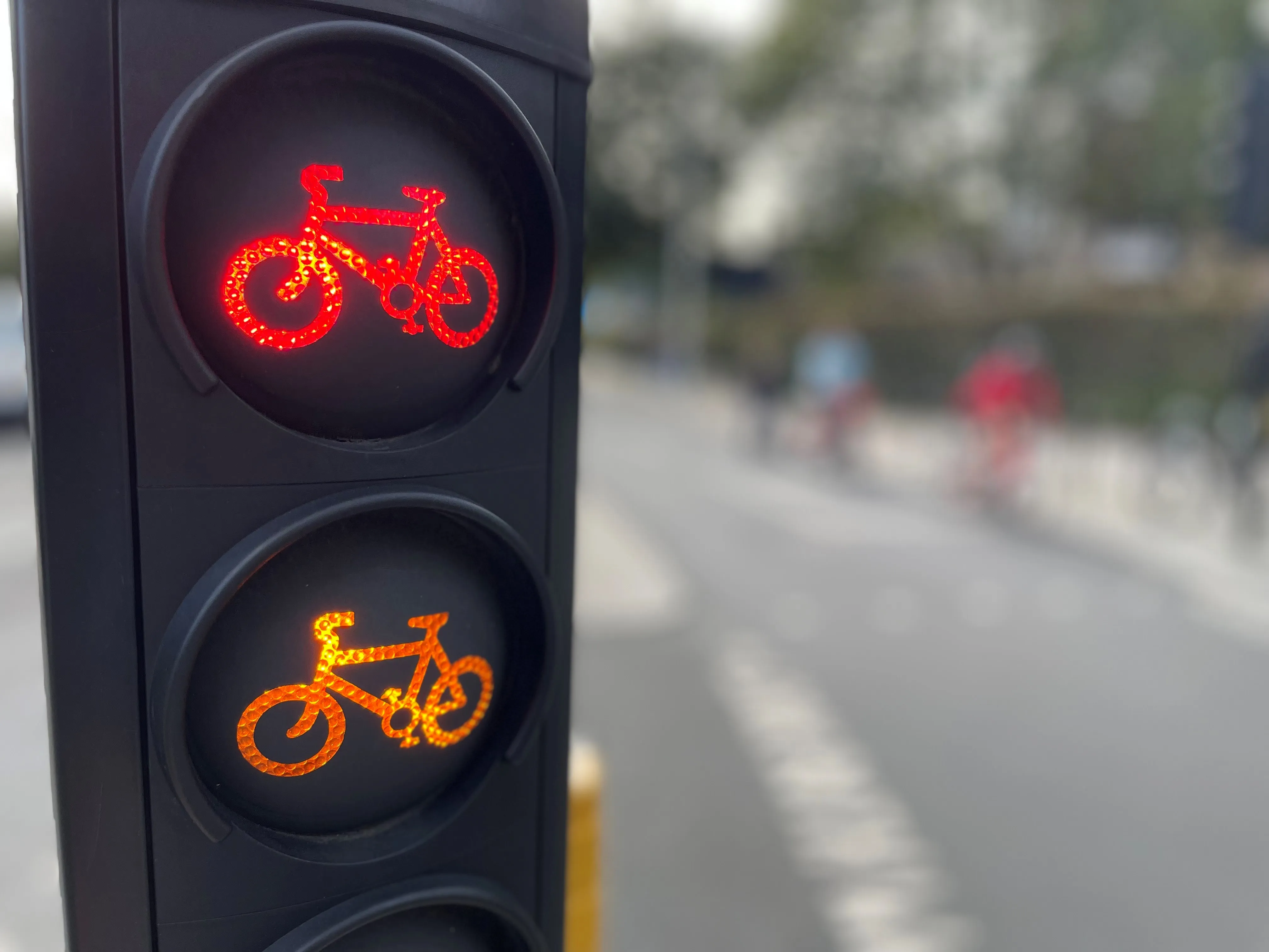
Safety first (© ITS International | Adam Hill)

Transport for London (TfL) has teamed up with Google Maps to give cyclists in the UK capital more information on safe routes.

Google has updated its algorithms to prioritise cycling on safer, less busy roads and make them easier to discover within Google Maps, and says most users in London will have access by the end of 2023.

The company uses information from TfL to do this, adding hundreds of kilometres of new cycle lane data to its products and informing cyclists of traffic conditions and nearby cycling infrastructure.

London’s walking and cycling commissioner, Will Norman, says: “With existing digital journey planning data, cyclists haven’t always been able to see the best route available to them. These updated algorithms will help Londoners choose safer cycling routes."

TfL says 24km of new or upgraded cycle routes have been delivered since April 2022 in London, and there are plans to open at least another 40km by March 2024. The organisation adds that it has reduced danger at 44 junctions across London as part of its Safer Junctions programme, with work on at a further two locations set to start early in 2024.

Google worked with TfL’s Open Innovation team to improve cycle routing in Google Maps, with TfL providing pre-launch feedback on product enhancements and continuing to comment as it is rolled out.

Google Maps is also introducing  Immersive View for cycle routes on Google Maps this year - in 'select cities around the world' including London - which lets users preview routes in advance, including all cycle lanes and junctions along the journey. 

For more information on companies in this article

Related Content

  • Sadiq Khan proposes Cycle Superhighway 9, West London
    September 26, 2017
    London Mayor Sadiq Khan announced consultation of West London’s first segregated lane, Cycle Superhighway 9 (CS9), connecting Kennington Olympia to Brentford. The 6km CS9 follows Khan’s plan to make to encourage cycling and capital’s streets healthier and safer. The segregated tracks will cover Hammersmith Road, King Street, Chiswick High Road, Brentford High Street and Kew Bridge Road, and allow cyclists to bypass Hammersmith Gyratory and Kew Bridge Junction. There will also be five new traffic light
  • Motorists worried about safety on smart motorways
    May 9, 2014
    The UK’s Institute of Advanced Motorists (IAM) is calling for more information and advice on smart motorways for drivers. The call comes after seventy-one per cent of drivers said they would feel less safe on a motorway with no hard shoulder than a motorway with one, according to the latest poll by the IAM.
  • Apps help passengers avoided overcrowded public transport
    May 30, 2013
    David Crawford reviews innovations in the comfort zone. Anyone who rides public transport knows that, perhaps second only to delays, overcrowding is a critical part of the passenger experience,” says Nir Erez, CEO of Moovit, the Israel-based social transportation app developer. The app is aimed at taking real-time user feedback on transit and making it available to a wider audience of travellers. Currently available on iPhone and Android, it plans to add Windows 8 and other platforms in the future. Moovit i
  • Contactless payments introduced on London's buses
    December 14, 2012
    Bus passengers in London can now use their use their contactless debit, credit or charge card to touch in on the yellow Oyster card readers and pay the single Oyster fare on any of London's 8,500 buses. Introducing the scheme, Transport for London (TfL) says the new payment option will also be good news for the approximately 36,000 people per day who board a bus and find they have insufficient pay as you go balance on their Oyster to pay for their journey as they will be able to use the other card they may