TfL and Google Maps riding side by side on London cycling

Google has added hundreds of kilometres of new cycle lane data to its mapping products
By Adam Hill October 18, 2023 Read time: 2 mins
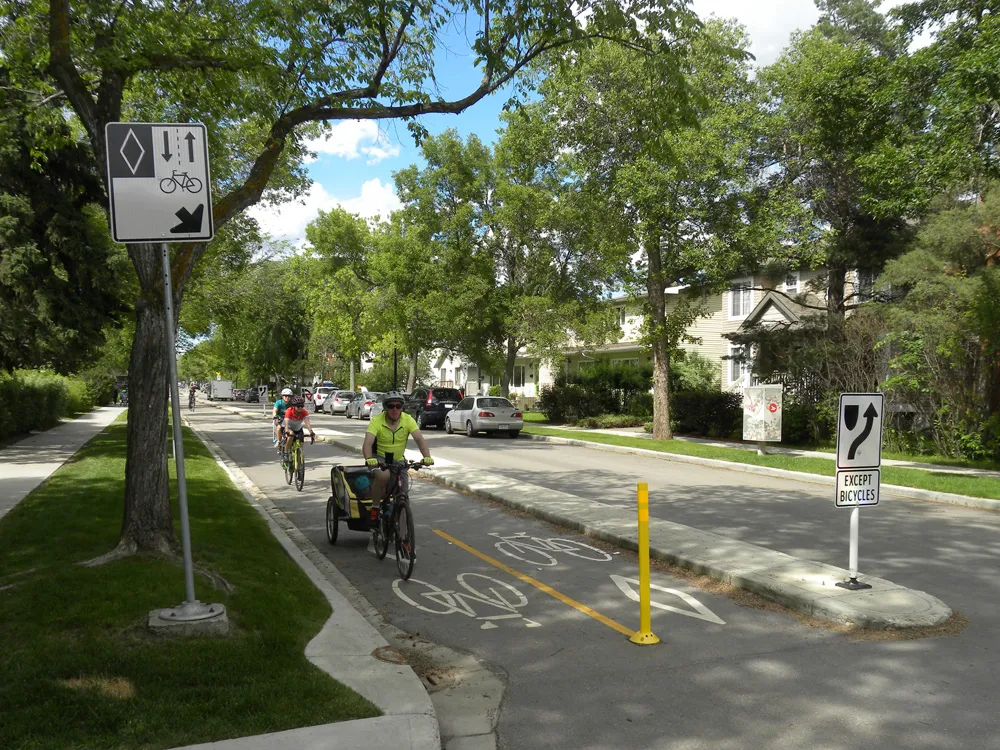
Safety first (© ITS International | Adam Hill)

Transport for London (TfL) has teamed up with Google Maps to give cyclists in the UK capital more information on safe routes.

Google has updated its algorithms to prioritise cycling on safer, less busy roads and make them easier to discover within Google Maps, and says most users in London will have access by the end of 2023.

The company uses information from TfL to do this, adding hundreds of kilometres of new cycle lane data to its products and informing cyclists of traffic conditions and nearby cycling infrastructure.

London’s walking and cycling commissioner, Will Norman, says: “With existing digital journey planning data, cyclists haven’t always been able to see the best route available to them. These updated algorithms will help Londoners choose safer cycling routes."

TfL says 24km of new or upgraded cycle routes have been delivered since April 2022 in London, and there are plans to open at least another 40km by March 2024. The organisation adds that it has reduced danger at 44 junctions across London as part of its Safer Junctions programme, with work on at a further two locations set to start early in 2024.

Google worked with TfL’s Open Innovation team to improve cycle routing in Google Maps, with TfL providing pre-launch feedback on product enhancements and continuing to comment as it is rolled out.

Google Maps is also introducing  Immersive View for cycle routes on Google Maps this year - in 'select cities around the world' including London - which lets users preview routes in advance, including all cycle lanes and junctions along the journey. 

For more information on companies in this article

Related Content

  • Worcester transport project given go-ahead
    February 21, 2013
    A $US30 million plan to improve transport links in the UK town of Worcester has been given the go-ahead by local transport minister Norman Baker. The government is backing it with US22 million of funding. The project will improve access to rail travel, upgrade traffic signals and make it easier to walk and cycle in the area. Intelligent transport systems which provide better information to bus passengers and road users will also be installed and a smarter choice scheme will encourage transport users to look
  • London’s mayor launches fund to help retire polluting diesel taxis
    July 28, 2017
    In the latest in a series of measures to clean up London’s toxic air, the Mayor of London, Sadiq Khan, and Transport for London (TfL) have launched a US£55 million (£42 million) fund to encourage the owners of the oldest, most polluting diesel black cabs to retire them from the Capital’s fleet. Taxis are a significant contributor to London’s toxic air quality, and are responsible for 16 per cent of NOx and 26 per cent of Particulate Matter (PM) road transport emissions in central London. From today, the own
  • LiDAR sets its sights on future problems
    February 23, 2017
    AAdvances in LiDAR are helping transport authorities improve services and identify potential problem areas, as geospatial technology expert Dr Neil Slatcher explains. The effects of climate change on the transport infrastructure have long been a cause of concern within the transportation sector - and not only on the structures themselves but also on the surrounding areas. This year, those concerns have become reality with landslides, structural collapses and surfacing issues impacting services across the wo
  • White lines? Cyclists need more
    August 5, 2020
    Just painting lines on the road isn’t sufficient to persuade most people to cycle – you need to separate them from motor vehicles altogether. David Arminas talks to transportation engineer Tyler Golly about the Covid ‘wake-up call’