TfL and Google Maps riding side by side on London cycling

Google has added hundreds of kilometres of new cycle lane data to its mapping products
By Adam Hill October 18, 2023 Read time: 2 mins
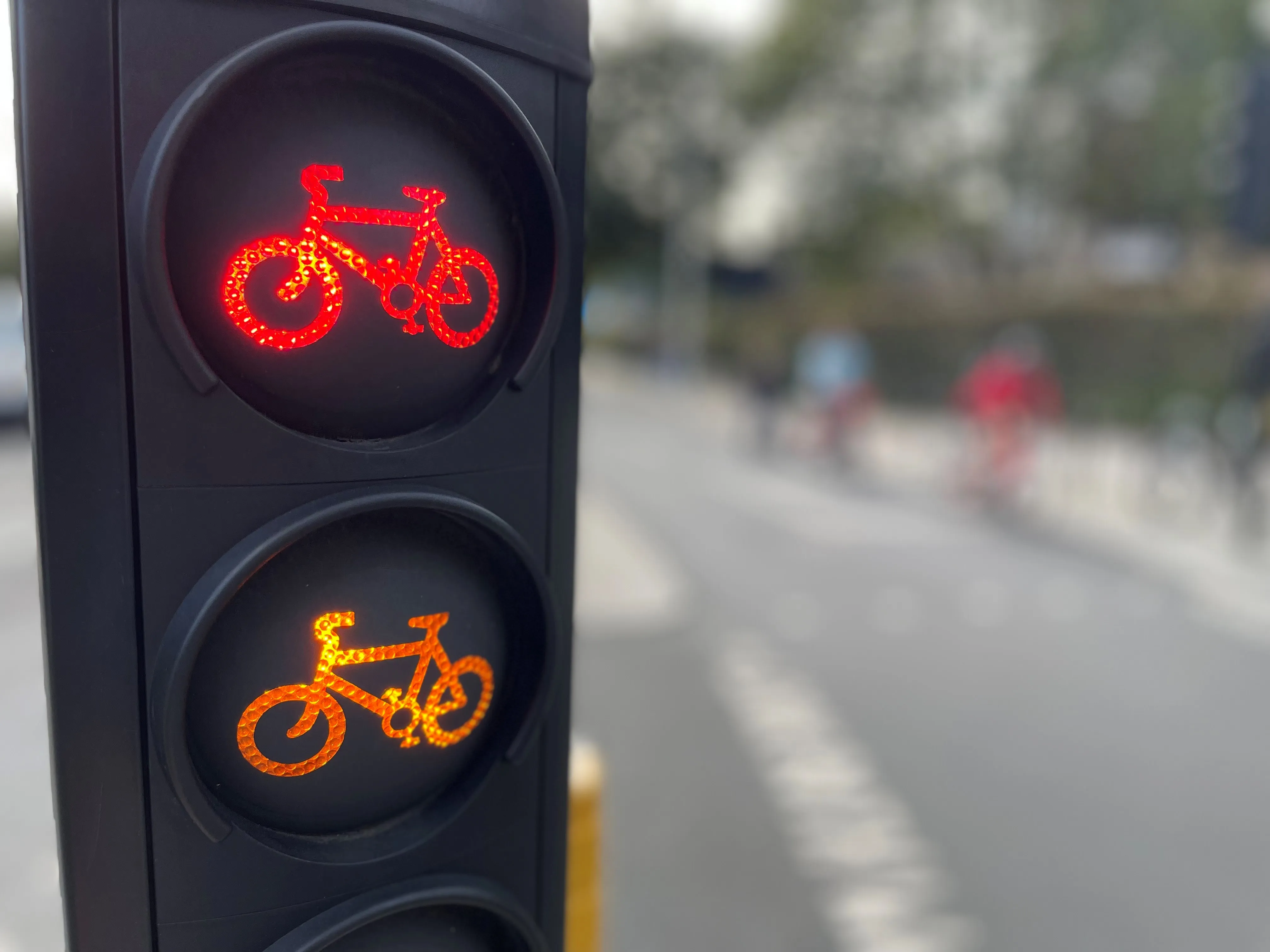
Safety first (© ITS International | Adam Hill)

Transport for London (TfL) has teamed up with Google Maps to give cyclists in the UK capital more information on safe routes.

Google has updated its algorithms to prioritise cycling on safer, less busy roads and make them easier to discover within Google Maps, and says most users in London will have access by the end of 2023.

The company uses information from TfL to do this, adding hundreds of kilometres of new cycle lane data to its products and informing cyclists of traffic conditions and nearby cycling infrastructure.

London’s walking and cycling commissioner, Will Norman, says: “With existing digital journey planning data, cyclists haven’t always been able to see the best route available to them. These updated algorithms will help Londoners choose safer cycling routes."

TfL says 24km of new or upgraded cycle routes have been delivered since April 2022 in London, and there are plans to open at least another 40km by March 2024. The organisation adds that it has reduced danger at 44 junctions across London as part of its Safer Junctions programme, with work on at a further two locations set to start early in 2024.

Google worked with TfL’s Open Innovation team to improve cycle routing in Google Maps, with TfL providing pre-launch feedback on product enhancements and continuing to comment as it is rolled out.

Google Maps is also introducing  Immersive View for cycle routes on Google Maps this year - in 'select cities around the world' including London - which lets users preview routes in advance, including all cycle lanes and junctions along the journey. 

For more information on companies in this article

Related Content

  • Waze and TfL collaborate to help ease congestion in London
    October 12, 2016
    Waze, the free, real-time crowd-sourced traffic and navigation app powered by the world’s community of drivers, is to partner with Transport for London (TfL), which will provide its real-time government-reported construction, collision and road closure data from its open API to Waze for the app to confidently and accurately provide information to drivers to enable them to plan their journeys. It is hoped that this will be the first of many British collaborations. The Waze Connected Citizens Program is d
  • Contracts awarded for London’s traffic signals upgrade
    July 18, 2014
    Transport for London (TfL) has awarded new traffic signals maintenance contracts, worth around US$542 million for up to eight years, which will see the capital’s 6,000 traffic signals upgraded and maintained to the latest, greenest standards. Awarded to Telent Technology Services for west and south-west London, Siemens for north and north-west London and Cubic Transportation Systems for south-east London, the new Traffic Control Management Services contracts will help expand the use of intelligent traf
  • Kyiv Digital: “We never thought we’d create app functionality for missile attacks”
    August 15, 2022
    Russia’s invasion of Ukraine has brought devastating change. Adam Hill reports on how the capital city’s transit app was reconfigured to help citizens stay safe under Russian bombardment – and to record evidence of war crimes
  • Never miss a London bus app
    March 23, 2012
    Two London entrepreneurs have released a new smartphone app, called London Bus Stop, that delivers real-time bus schedule information for London commuters through their smartphones.