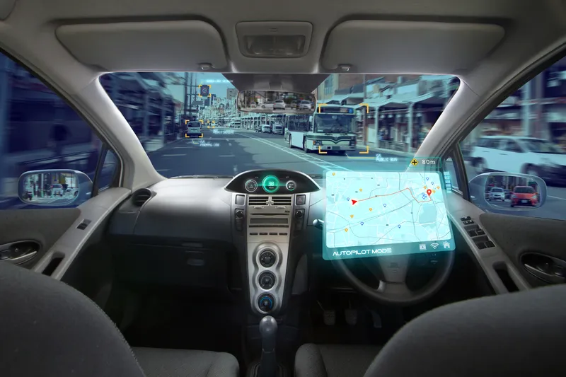
Connected vehicle data firm Otonomo Technologies and geographic information system (GIS) provider Geograma have announced a multi-year contract to advance road and driver safety in Spain.
By integrating connected vehicle data delivered through the Otonomo Smart Mobility Data Platform, Geograma can develop new road safety applications based on vehicle sensor data, including detected hazard events and road friction data.
Geograma's Geotraffic platform provides connected vehicle data-based services to traffic management agencies, including traffic analytics and real-time traffic monitoring services for traffic control centres - and Otonomo's data will be integrated into it for both historical analytics and streaming for real-time services.
"We selected Otonomo, because they can provide the rich, multi-layered connected vehicle data our customers have been demanding for years," said Geograma CEO Alejandro Guinea de Salas.
Geograma’s technology collects and integrates geodata to develop solutions based on various data including satellite images of geo-located terrestrial panoramas, mapping, socioeconomic information, pedestrian traffic flow, city maps, asset management inventories, road traffic information and market data.
"One of the unique differentiators Otonomo brings to the table is the depth and breadth of data that we can apply in our traffic management and monitoring platform that we have not had access to previously. This will allow Geograma to gain insights and transform them to deliver road safety solutions – empowering our customers and giving drivers safer roads.”
“Having the right data is critical to effective traffic management," said Ben Volkow, CEO and co-founder of Otonomo.
"With access to traffic analysis and management capabilities, Geograma is able to provide a better understanding of traffic flow, which advances mobility and road safety.”


