Otonomo connects with Geograma

CV data specialist and Spanish GIS provider will deliver enhanced road safety solutions
By Adam Hill September 8, 2022 Read time: 2 mins
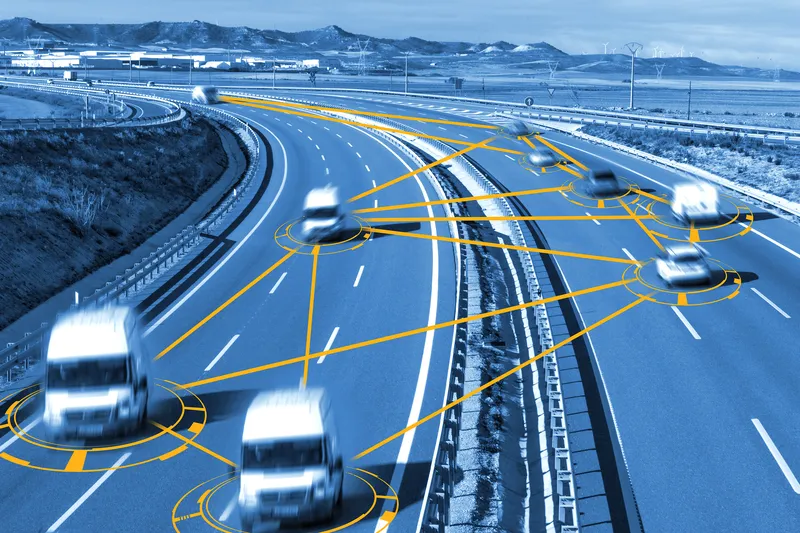
Geograma's Geotraffic platform provides connected vehicle data-based services (© Carloscastilla | Dreamstime.com)

Connected vehicle data firm Otonomo Technologies and geographic information system (GIS) provider Geograma have announced a multi-year contract to advance road and driver safety in Spain.

By integrating connected vehicle data delivered through the Otonomo Smart Mobility Data Platform, Geograma can develop new road safety applications based on vehicle sensor data, including detected hazard events and road friction data.

Geograma's Geotraffic platform provides connected vehicle data-based services to traffic management agencies, including traffic analytics and real-time traffic monitoring services for traffic control centres - and Otonomo's data will be integrated into it for both historical analytics and streaming for real-time services.
 
"We selected Otonomo, because they can provide the rich, multi-layered connected vehicle data our customers have been demanding for years," said Geograma CEO Alejandro Guinea de Salas.

Geograma’s technology collects and integrates geodata to develop solutions based on various data including satellite images of geo-located terrestrial panoramas, mapping, socioeconomic information, pedestrian traffic flow, city maps, asset management inventories, road traffic information and market data.

"One of the unique differentiators Otonomo brings to the table is the depth and breadth of data that we can apply in our traffic management and monitoring platform that we have not had access to previously. This will allow Geograma to gain insights and transform them to deliver road safety solutions – empowering our customers and giving drivers safer roads.”

“Having the right data is critical to effective traffic management," said Ben Volkow, CEO and co-founder of Otonomo.

"With access to traffic analysis and management capabilities, Geograma is able to provide a better understanding of traffic flow, which advances mobility and road safety.”

For more information on companies in this article

Related Content

  • Here and CDOT to partner on US RoadX connected vehicle project
    January 12, 2016
    The Colorado Department of Transportation (CDOT) and mapping and location technology specialist Here are to partner in the first cellular network-based connected vehicle alert system in North America.
  • The role of GIS in climate change resiliency
    May 29, 2014
    Climate change will pose global and local challenges and that includes risks to the transportation infrastructure. Climate change adaptation and resiliency has captured the attention of the transportation community for some time now. Because transportation infrastructure is often designed to last for 30, 50, or 100 years or even longer, transportation professionals are concerned not only about the impact on our existing investments, but also how to design more durable transportation systems for the future
  • Inrix expands Signal Analytics capabilities 
    February 19, 2021
    Operators can now understand performance of 210,000 signalised intersections, firm says 
  • StreetLight Data to measure VRU and vehicle transport in one platform
    January 15, 2019
    US data company Streetlight Data is adding bike and pedestrian analytics to its existing StreetLight InSight platform. The move is an industry first, the firm insists, and means the movements of vulnerable road users (VRUs) can be measured along with those of vehicles. The new information will be available with a Multi Mode subscription to the product. “It is critical to develop a granular analysis of bike and pedestrian traffic to better see a complete picture of today’s complex mobility landscape