Otonomo connects with Geograma

CV data specialist and Spanish GIS provider will deliver enhanced road safety solutions
By Adam Hill September 8, 2022 Read time: 2 mins
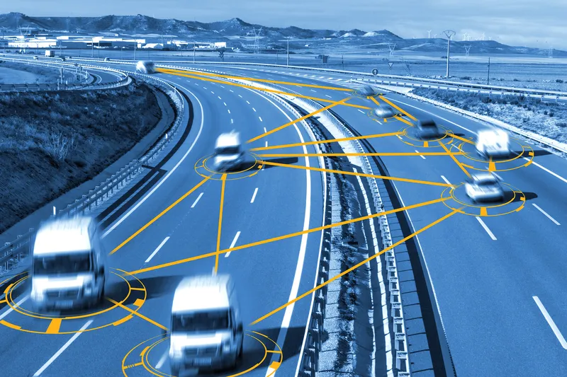
Geograma's Geotraffic platform provides connected vehicle data-based services (© Carloscastilla | Dreamstime.com)

Connected vehicle data firm Otonomo Technologies and geographic information system (GIS) provider Geograma have announced a multi-year contract to advance road and driver safety in Spain.

By integrating connected vehicle data delivered through the Otonomo Smart Mobility Data Platform, Geograma can develop new road safety applications based on vehicle sensor data, including detected hazard events and road friction data.

Geograma's Geotraffic platform provides connected vehicle data-based services to traffic management agencies, including traffic analytics and real-time traffic monitoring services for traffic control centres - and Otonomo's data will be integrated into it for both historical analytics and streaming for real-time services.
 
"We selected Otonomo, because they can provide the rich, multi-layered connected vehicle data our customers have been demanding for years," said Geograma CEO Alejandro Guinea de Salas.

Geograma’s technology collects and integrates geodata to develop solutions based on various data including satellite images of geo-located terrestrial panoramas, mapping, socioeconomic information, pedestrian traffic flow, city maps, asset management inventories, road traffic information and market data.

"One of the unique differentiators Otonomo brings to the table is the depth and breadth of data that we can apply in our traffic management and monitoring platform that we have not had access to previously. This will allow Geograma to gain insights and transform them to deliver road safety solutions – empowering our customers and giving drivers safer roads.”

“Having the right data is critical to effective traffic management," said Ben Volkow, CEO and co-founder of Otonomo.

"With access to traffic analysis and management capabilities, Geograma is able to provide a better understanding of traffic flow, which advances mobility and road safety.”

For more information on companies in this article

Related Content

  • Esri and Mobileye offer real-time blind-spot detection data
    November 16, 2017
    Geographic information system specialist Esri is to collaborate with advanced driver-assistance systems software provider Mobileye in a venture aimed at improving safety for road users in urban environments. This will see Esri’s mapping, analysis and visualisation integrated with Mobileye’s Shield+ product. Shield+ will stream road safety data retrieved from city fleets into Esri’s ArcGIS platform meaning incidents of pedestrians and cyclists being detected in blindspots can be viewed on the Mobileye
  • Rekor AI speeds Ohio transit
    October 7, 2022
    New web platform designed to help reduce journey times and improve road safety
  • Bangalore adopts GIS-based road infrastructure system
    June 6, 2014
    To support the unprecedented urban growth in Bangalore, India’s third most populous city with a population of over eight million, the Bruhat Bangalore Mahanagara Palike (BBMP) has adopted GIS to completely transform the way it manages its road network. Using GeoCivic Road Infrastructure Management, a solution by CyberTech, a partner of Esri, BBMP built a geo-enabled, transparent system that provides officials with information-rich dashboards for monitoring road activities across all wards and zones. The
  • Joining the dots: four ways to help cities make the connection
    May 18, 2018
    Smoothing the path to connected transportation systems in urban areas all round the world takes a lot of planning: Cisco’s Kyle Connor lays out the four key areas on which he thinks cities should focus. Forward-thinking cities around the world are exploring innovative, new ways to leverage the Internet of Things (IoT) and related technologies to create more connected and efficient transportation systems. Through greater digitisation and connectivity, cities can optimise public transit routes, reduce