Here will integrate location services into Iteris ClearMobility

Traffic products, maps and platform services will 'enrich the insights' of ClearGuide
By Adam Hill March 24, 2023 Read time: 1 min
Displayed information includes speed limits, lanes and mile markers in ClearGuide, as well as real-time traffic and analytics data (© BiancoBlue | Dreamstime.com)

Iteris and Here Technologies have signed a five-year deal which will see Here traffic products, mapping and platform services integrated into Iteris’ ClearMobility Platform.

This will 'enrich the insights' of Iteris’ mobility intelligence application, ClearGuide, the firms say, allowing transportation engineers, planners, infrastructure operators and roadway construction teams to get actionable data for their decisions.

Will Cousins, chief product officer at Iteris, says: “As part of the new five-year agreement, we are expanding our emerging safety and mobility applications to help public agencies address the critical priorities of the National Roadway Safety Strategy and support federal, state and local officials who are ensuring roadways are both safer and less congested.”

Iteris will display Here Map information, including speed limits, lanes and mile markers in ClearGuide, as well as real-time traffic and analytics data.

“A key part of the Here mission is to enable a digital representation of reality to radically improve the way the world moves, lives and interacts, and to help customers and developers power applications that can plan ahead, react with speed and increase road safety,” said Miranda Ashby-Annoon, senior director of public sector sales at Here. 

ClearGuide is part of ClearMobility, which applies cloud computing, artificial intelligence, advanced sensors, advisory services and managed services.

For more information on companies in this article

Related Content

  • Trottenberg to be number two at USDoT
    January 18, 2021
    Former New York City transport commissioner's appointment is 'applauded' by ITS America
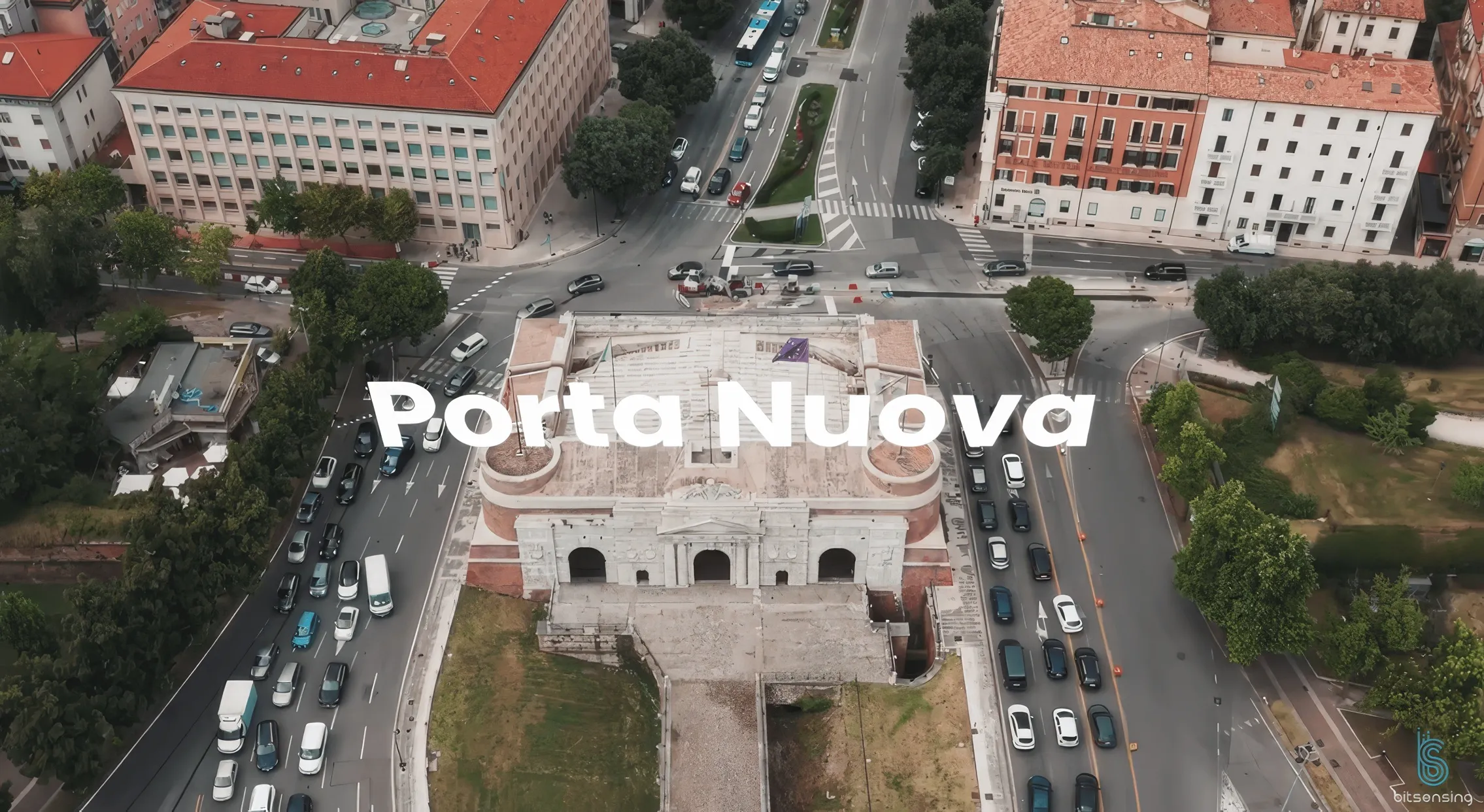
  • Bitsensing makes modern history in fair Verona
    July 3, 2025
    Shakespeare’s Verona was a place of star-cross’d lovers – today, it’s the traffic which is more of a problem. Euichul Kim at Bitsensing takes up our story…
  • Cloud computing technology benefits GIS
    July 17, 2012
    Geographic Information Systems are a relatively late adopter of cloud computing,but the benefits of host services for geospatial data and analysis are becoming clear. Jason Barnes reports Both the concept and the reality of cloud computing have been around for some time. More and more industry sectors are entrusting external service providers with the provision of their computing services via the internet. However, the Geographic Information System (GIS) industry has been slow to embrace the trend. This is
  • Dubai marks new territory for Cruise AVs
    April 16, 2021
    Cruise and Dubai RTA plan to scale up to 40,000 autonomous vehicles by 2030