Here will integrate location services into Iteris ClearMobility

Traffic products, maps and platform services will 'enrich the insights' of ClearGuide
By Adam Hill March 24, 2023 Read time: 1 min
Displayed information includes speed limits, lanes and mile markers in ClearGuide, as well as real-time traffic and analytics data (© BiancoBlue | Dreamstime.com)

Iteris and Here Technologies have signed a five-year deal which will see Here traffic products, mapping and platform services integrated into Iteris’ ClearMobility Platform.

This will 'enrich the insights' of Iteris’ mobility intelligence application, ClearGuide, the firms say, allowing transportation engineers, planners, infrastructure operators and roadway construction teams to get actionable data for their decisions.

Will Cousins, chief product officer at Iteris, says: “As part of the new five-year agreement, we are expanding our emerging safety and mobility applications to help public agencies address the critical priorities of the National Roadway Safety Strategy and support federal, state and local officials who are ensuring roadways are both safer and less congested.”

Iteris will display Here Map information, including speed limits, lanes and mile markers in ClearGuide, as well as real-time traffic and analytics data.

“A key part of the Here mission is to enable a digital representation of reality to radically improve the way the world moves, lives and interacts, and to help customers and developers power applications that can plan ahead, react with speed and increase road safety,” said Miranda Ashby-Annoon, senior director of public sector sales at Here. 

ClearGuide is part of ClearMobility, which applies cloud computing, artificial intelligence, advanced sensors, advisory services and managed services.

For more information on companies in this article

Related Content

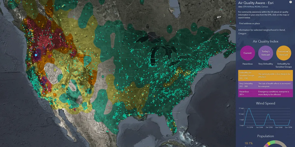
  • Esri exposes US air pollution impact
    October 6, 2020
    App uses data from AirNow programme, American Community Survey and NOAA wind forecast 
  • Developing integrated transport networks
    September 20, 2012
    A major initiative in managing numerous transport networks as a single system has moved into a significant phase with design of sophisticated new ITS systems. Jon Masters reports. Detailed design work is under way on two pilot projects pursuing a common principle – that transportation can be made more efficient or effective if the various networks and modes of travel are managed as a whole system. This is the central tenet of the US Department of Transportation’s (USDOT) Integrated Corridor Management (ICM)
  • Vaisala's RoadAI can optimise maintenance
    August 20, 2019
    Alerts for natural disasters are ones that most of us would rather do without, writes Adam Hill. But the ITS industry still needs help to deal with more common meteorological issues Google Maps has added SOS alerts to its service. For those of us more used to using the phone app to navigate from a metro station to an unfamiliar restaurant, this may seem extreme. But this is not what Google has in mind. Its SOS messages are for “hurricane forecast cones, earthquake shake-maps and flood forecasts”. That
  • RoadBotics clinches Detroit road assessment deal
    January 2, 2019
    RoadBotics has been chosen to use their machine-learning technology to assess the city of Detroit’s entire 4,185km road network. The company will work with PlanetM, a Michigan state networking partnership of mobility organisations, educational institutions, research and development groups and government agencies working together in the automotive sector. RoadBotics will provide Detroit transportation officials with its standard Artificial Intelligence pavement assessment as well as a new AI Maintenanc