Here will integrate location services into Iteris ClearMobility

Traffic products, maps and platform services will 'enrich the insights' of ClearGuide
By Adam Hill March 24, 2023 Read time: 1 min
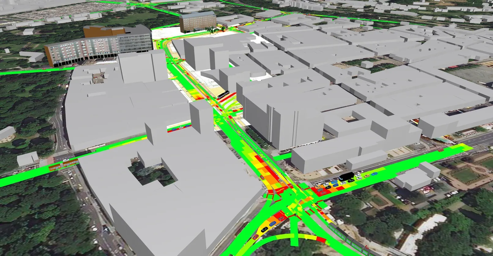
Displayed information includes speed limits, lanes and mile markers in ClearGuide, as well as real-time traffic and analytics data (© BiancoBlue | Dreamstime.com)

Iteris and Here Technologies have signed a five-year deal which will see Here traffic products, mapping and platform services integrated into Iteris’ ClearMobility Platform.

This will 'enrich the insights' of Iteris’ mobility intelligence application, ClearGuide, the firms say, allowing transportation engineers, planners, infrastructure operators and roadway construction teams to get actionable data for their decisions.

Will Cousins, chief product officer at Iteris, says: “As part of the new five-year agreement, we are expanding our emerging safety and mobility applications to help public agencies address the critical priorities of the National Roadway Safety Strategy and support federal, state and local officials who are ensuring roadways are both safer and less congested.”

Iteris will display Here Map information, including speed limits, lanes and mile markers in ClearGuide, as well as real-time traffic and analytics data.

“A key part of the Here mission is to enable a digital representation of reality to radically improve the way the world moves, lives and interacts, and to help customers and developers power applications that can plan ahead, react with speed and increase road safety,” said Miranda Ashby-Annoon, senior director of public sector sales at Here. 

ClearGuide is part of ClearMobility, which applies cloud computing, artificial intelligence, advanced sensors, advisory services and managed services.

For more information on companies in this article

Related Content

  • Esri maps cause and effect
    September 26, 2024
    The work of the Connecticut Transportation Safety Research Center means engineers can concentrate on developing more effective safety measures, rather than having to sort out raw crash data
  • PTV and Bosch set out to improve air quality 
    March 24, 2021
    Precise emissions data from Bosch to be available in traffic simulation software PTV Vissim 
  • After two decades of research, ITS is getting into its stride
    June 4, 2015
    Colin Sowman gets the global view on how ITS has shaped the way we travel today and what will shape the way we travel tomorrow. Over the past two decades the scope and spread of intelligent transport systems has grown and diversified to encompass all modes of travel while at the same time integrating and consolidating. Two decades ago the idea of detecting cyclists or pedestrians may have been considered impossible and why would you want to do that anyway? Today cyclists can account for a significant propor
  • Asecap prepares for ‘interoperability on steroids’
    March 31, 2023
    The gathering of Europe’s toll professionals offers a chance for views to be exchanged by senior people on a number of big issues: and there’s currently an awful lot to think about, reports Geoff Hadwick