Iteris expands traffic info feeds

ClearData says connected vehicle GPS probes 'better reflect consumer vehicle movement'
By Adam Hill June 6, 2022 Read time: 1 min
Iteris offers real-time and historical visualisations of traffic movement (© BiancoBlue | Dreamstime.com)

Iteris has added customisable ClearData traffic management feeds to its portfolio to help traffic managers get an accurate view of situations on the road.

The company's ClearMobility cloud analytics engine delivers ClearData - produced by aggregating third-party mobility data which includes incident, speed, construction and connected vehicle GPS probes - which can be accessed via subscription-based direct computer data feeds or application programming interfaces (APIs).

Iteris says connected vehicle probes "offer precise data and better reflect consumer vehicle movement".

“The unique combination of powerful software-driven event detection and conflict resolution overseen by human editors provides unparalleled mobility reporting, mapping and advisory information,” said Will Cousins, senior vice president and general manager of applications and cloud solutions at Iteris.

As well as warning of road closures, ClearData can offer congestion monitoring for live event organisers and accurate travel time data to help fleet and logistics operators optimise routes, for example.

The solution "adds powerful new transportation data that expand the software’s capabilities to provide unparalleled levels of real-time and historical visualisations that help users make informed operational traffic management decisions", Iteris says.

For more information on companies in this article

Related Content

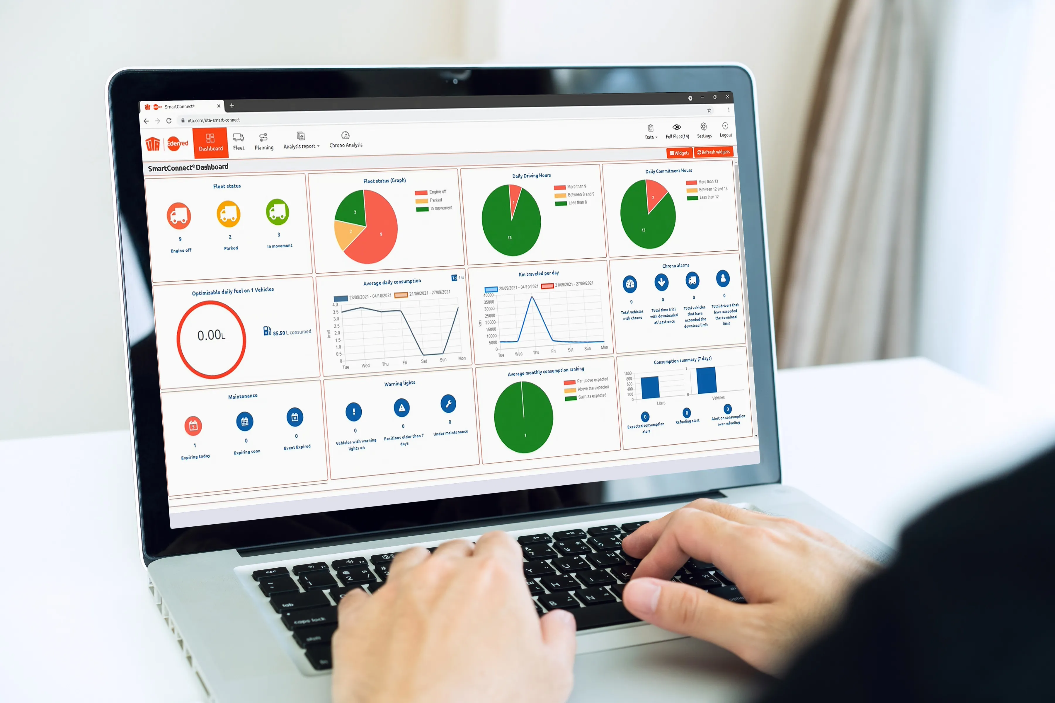
  • UTA launches telematics solution 
    December 1, 2021
    The position of every vehicle can be seen in real-time using GPS tracking
  • European tunnel safety steps up a gear
    September 19, 2017
    David Crawford reviews the latest safety systems installed in European tunnels. Blueprints for the safer road tunnels of the future are emerging fast as European operators invest in technologies to enhance travellers’ prospects of surviving an accident. Central to modern emergency planning is the principle that, following an incident, drivers should be enabled to rescue themselves and their passengers with the aid of prompt and correct identification and communication of the hazard. Roles for cooperativ
  • Radar effective as detection tool for hard shoulder running
    July 23, 2012
    Navtech Radar's millimetric-wave systems are being researched on the M42 in England to look into how this type of detector can assist in the opening of the hard shoulder as an additional running lane. Here, the company's Stephen Clark talks about the technology being used. In England, the Highways Agency's (the HA, an executive agency of the Department for Transport) Managed Motorways system - formerly called Active Traffic Management - uses electronic signs and signals mounted on gantries to direct drivers
  • Want intelligent transit? Then share data
    March 2, 2022
    How will the US deploy intelligent transit networks that enable connected vehicles? Data sharing is crucial if urban mobility users are to benefit, explains Timothy Menard of Lyt