Iteris expands traffic info feeds

ClearData says connected vehicle GPS probes 'better reflect consumer vehicle movement'
By Adam Hill June 6, 2022 Read time: 1 min
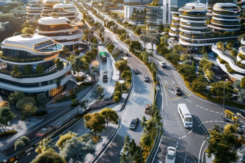
Iteris offers real-time and historical visualisations of traffic movement (© BiancoBlue | Dreamstime.com)

Iteris has added customisable ClearData traffic management feeds to its portfolio to help traffic managers get an accurate view of situations on the road.

The company's ClearMobility cloud analytics engine delivers ClearData - produced by aggregating third-party mobility data which includes incident, speed, construction and connected vehicle GPS probes - which can be accessed via subscription-based direct computer data feeds or application programming interfaces (APIs).

Iteris says connected vehicle probes "offer precise data and better reflect consumer vehicle movement".

“The unique combination of powerful software-driven event detection and conflict resolution overseen by human editors provides unparalleled mobility reporting, mapping and advisory information,” said Will Cousins, senior vice president and general manager of applications and cloud solutions at Iteris.

As well as warning of road closures, ClearData can offer congestion monitoring for live event organisers and accurate travel time data to help fleet and logistics operators optimise routes, for example.

The solution "adds powerful new transportation data that expand the software’s capabilities to provide unparalleled levels of real-time and historical visualisations that help users make informed operational traffic management decisions", Iteris says.

For more information on companies in this article

Related Content

  • Iteris launches computer vision for smarter crosswalks
    August 12, 2016
    Iteris has added new pedestrian measurement capabilities to its advanced video detection platforms with PedTrax, which it says automates measurement of the count, direction and speed of pedestrians in crosswalks to provide insights on levels of street life. PedTrax provides transportation professionals and officials with data on foot traffic volume, direction and speed to optimise intersection signal timing and inform proactive improvements to signage and striping, intersection design, overpass locations
  • From paved roads to data highways
    December 19, 2024
    The vehicles of the future are coming; and with them, so are the cities of the future. But only if cities are prepared to make the investment, suggests Yagil Tzur
  • Turn any vehicle into a mobile weather station with OTT HydroMet
    April 16, 2024
    OTT HydroMet is here to showcase an array of innovative road weather monitoring solutions, with a special spotlight on its Marwis (Mobile Advanced Road Weather Information System) and ViewMondo Software combination. Visitors to the company’s stand can experience firsthand the benefits of Marwis through the Marwis App and ViewMondo Software platform.
  • Valerann joins NVIDIA Metropolis
    October 24, 2022
    AI- and data-driven solutions are at the heart of programme to accelerate adoption