Iteris expands traffic info feeds

ClearData says connected vehicle GPS probes 'better reflect consumer vehicle movement'
By Adam Hill June 6, 2022 Read time: 1 min
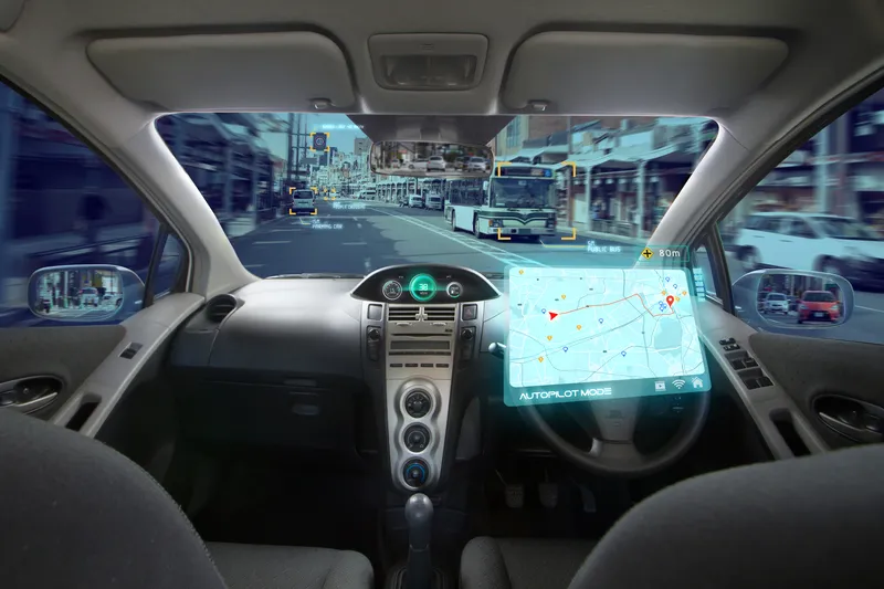
Iteris offers real-time and historical visualisations of traffic movement (© BiancoBlue | Dreamstime.com)

Iteris has added customisable ClearData traffic management feeds to its portfolio to help traffic managers get an accurate view of situations on the road.

The company's ClearMobility cloud analytics engine delivers ClearData - produced by aggregating third-party mobility data which includes incident, speed, construction and connected vehicle GPS probes - which can be accessed via subscription-based direct computer data feeds or application programming interfaces (APIs).

Iteris says connected vehicle probes "offer precise data and better reflect consumer vehicle movement".

“The unique combination of powerful software-driven event detection and conflict resolution overseen by human editors provides unparalleled mobility reporting, mapping and advisory information,” said Will Cousins, senior vice president and general manager of applications and cloud solutions at Iteris.

As well as warning of road closures, ClearData can offer congestion monitoring for live event organisers and accurate travel time data to help fleet and logistics operators optimise routes, for example.

The solution "adds powerful new transportation data that expand the software’s capabilities to provide unparalleled levels of real-time and historical visualisations that help users make informed operational traffic management decisions", Iteris says.

For more information on companies in this article

Related Content

  • Road traffic video analytics
    July 18, 2012
    RealTraffic Technologies has launched RTTNet, a new video analytics software that allows any surveillance video camera to function as an accurate and reliable traffic sensor
  • US 511 system, the future of traveller information?
    April 23, 2013
    What started out at the turn of the millenium as a simple dial-up travel information service has grown out of all recognition in the digital age. Pete Goldin surveys the development to date of the US 511 traveller information system. In a little over a decade, 511 has gone from its original intent – a collection of recorded messages accessible via phone for pre-trip planning – to a network of dynamic traveller information services provided by states and cities throughout the US, offering access to a wide v
  • VW uses Microsoft's Azure for ADAS
    February 16, 2021
    Software giant's platform expected to help reduce development cycles from months to weeks
  • Bluetooth and Wi-Fi offer new options for travel time measurements
    November 20, 2013
    New trials show Bluetooth and Wi-Fi signals can be reliably used for measuring travel times and at a lower cost than an ANPR system, but which is the better proposition depends on many factors. Measuring travel times has traditionally relied automatic number plate (or licence plate) recognition (ANPR/ALPR) cameras capturing the progress of vehicles travelling along a pre-defined route. Such systems also have the benefit of being able to count passing traffic and have become a vital tool in dealing with c