Iteris expands traffic info feeds

ClearData says connected vehicle GPS probes 'better reflect consumer vehicle movement'
By Adam Hill June 6, 2022 Read time: 1 min
Iteris offers real-time and historical visualisations of traffic movement (© BiancoBlue | Dreamstime.com)

Iteris has added customisable ClearData traffic management feeds to its portfolio to help traffic managers get an accurate view of situations on the road.

The company's ClearMobility cloud analytics engine delivers ClearData - produced by aggregating third-party mobility data which includes incident, speed, construction and connected vehicle GPS probes - which can be accessed via subscription-based direct computer data feeds or application programming interfaces (APIs).

Iteris says connected vehicle probes "offer precise data and better reflect consumer vehicle movement".

“The unique combination of powerful software-driven event detection and conflict resolution overseen by human editors provides unparalleled mobility reporting, mapping and advisory information,” said Will Cousins, senior vice president and general manager of applications and cloud solutions at Iteris.

As well as warning of road closures, ClearData can offer congestion monitoring for live event organisers and accurate travel time data to help fleet and logistics operators optimise routes, for example.

The solution "adds powerful new transportation data that expand the software’s capabilities to provide unparalleled levels of real-time and historical visualisations that help users make informed operational traffic management decisions", Iteris says.

For more information on companies in this article

Related Content

  • TomTom offers hybrid navigation solution 
    March 26, 2021
    Drivers can interact with TomTom’s navigation via Amazon Alexa
  • Open source application portal adds new ITS applications for download
    September 26, 2016
    The Open Source Application Development Portal (OSADP) web-based portal provides access to and supports the collaboration, development, and use of open-source ITS-related applications. The OSADP has added a number of new ITS-related applications that are available free to the public, including: Dynamic intermodal routing environment for control and telematics - analysis, modelling and simulation (DIRECTView-AMS) is a visualisation application designed to view the performance measures generated during si
  • New markets for travel information apps
    November 26, 2013
    Purpose-designed travel information apps are emerging to support the real estate market in the US – and potentially more widely – in a major diversification away from the conventional automotive and navigation device sectors. In July 2013, Washington State-based Imprev, which develops web-based marketing support aids for realtors, announced its App Generator. Claimed as an industry first, this enables property businesses to create their own branded mobile apps to give away as marketing tools to potential
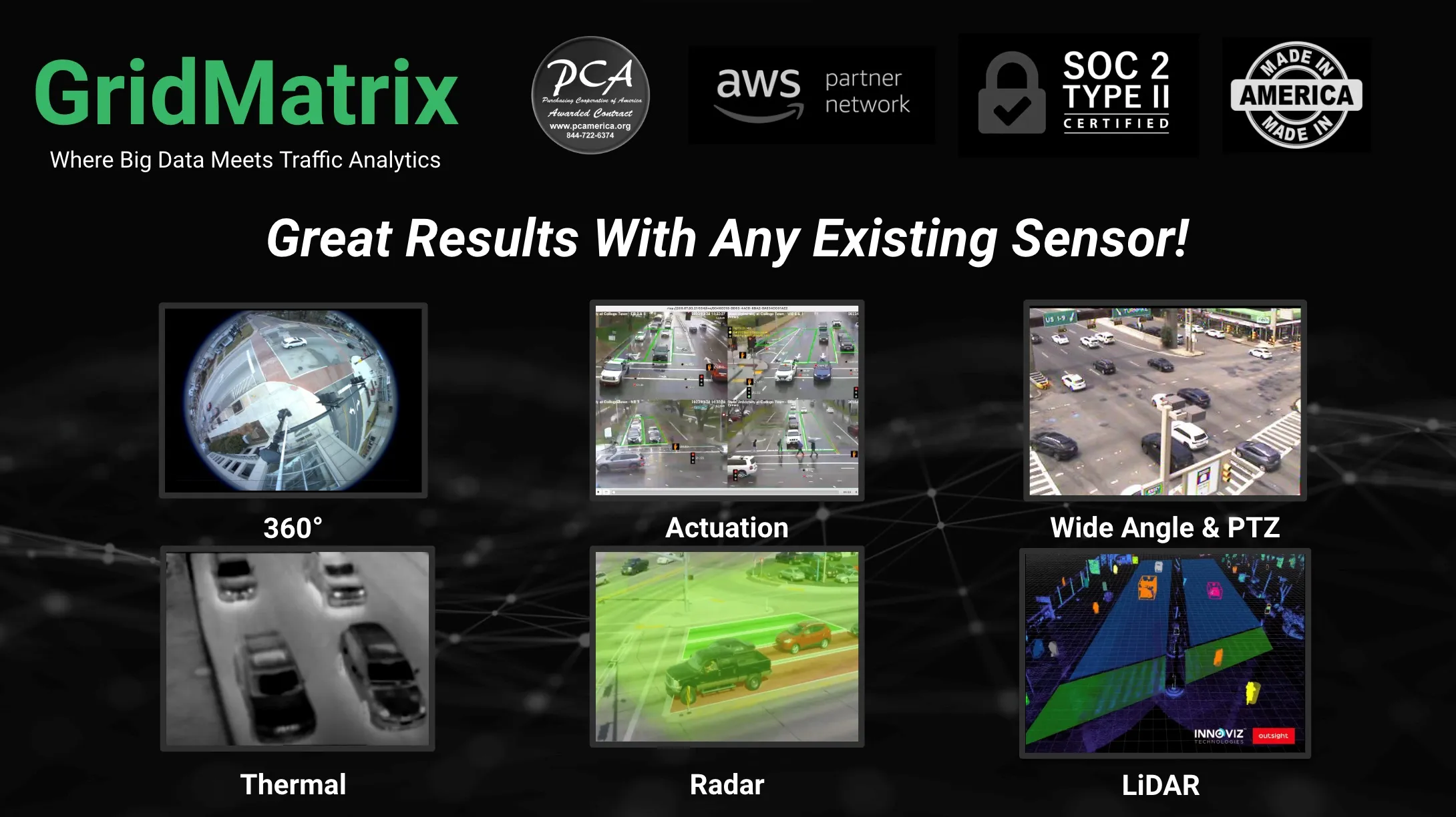
  • GridMatrix maximises power of existing infrastructure
    August 5, 2023

    GridMatrix’s breakthrough software platform for multimodal data collection and analytics is revolutionising transportation planning and decision making across the US. 

    Powered by artificial intelligence and combining the latest advances in cloud computing, machine learning and advanced sensing, GridMatrix’s platform is deployed in New York City on the world’s busiest bridges and tunnels, trusted by multiple state departments of transportation, and in a fast-growing number of American towns and cities.