PTV releases Model2Go

Cloud-based solution can set up city transport models in days rather than weeks
By Adam Hill July 27, 2022 Read time: 1 min
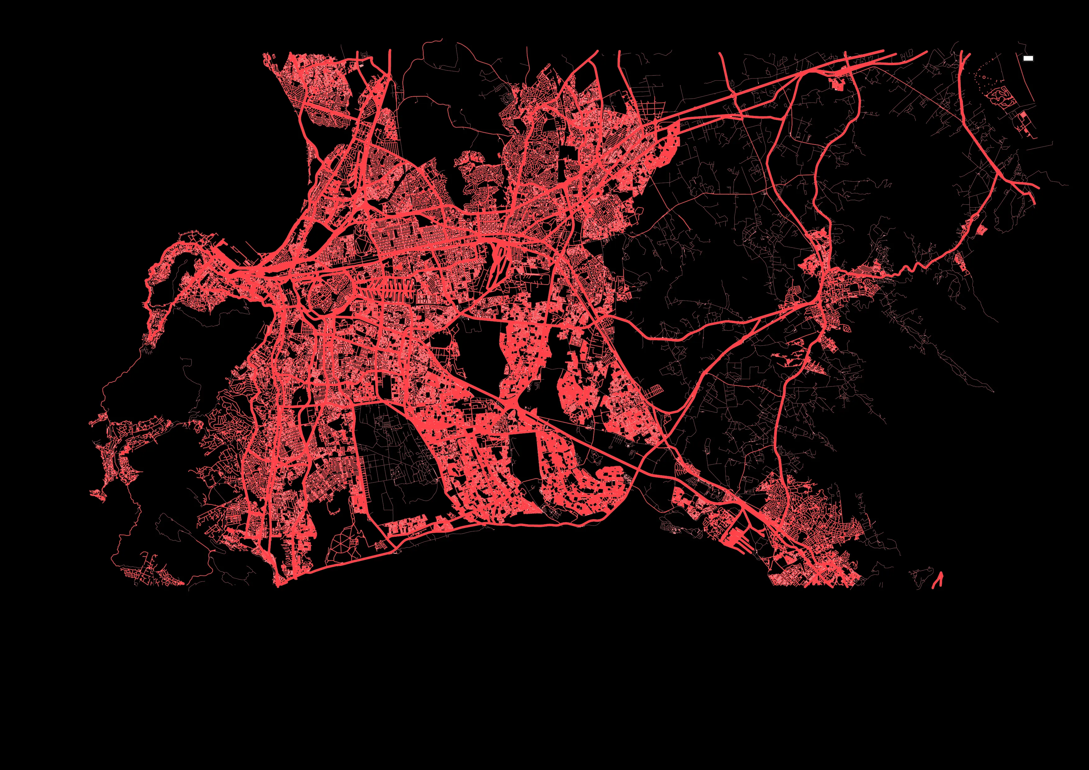
Cape Town in South Africa is one of six ready-to-use city models

PTV Group has launched a product which automates much of the painstaking business of building transport models. 

Model2Go is a cloud-based technology which means basic transportation models can be set up for any city or region worldwide within just three days, giving users such as cities, consulting companies or research institutions a ready-made foundation on which they can directly implement simple and complex use cases.

The first version is Model2Go Supply. A second version, Model2Go Demand, will be on the market soon. 

In addition to the road network and associated parameters such as route types, speeds and capacities, Model2Go also contains the public transport network, timetables, points of interest and structural data. In addition, traffic zones can be generated.

The navigation networks of Here Technologies and TomTom are used as the basis for Model2Go worldwide road network data. 

For public transit, PTV uses the same data format as General Transit Feed Specification (GTFS), which has stop locations, lines and timetables for transit agencies all over the world running buses, trams, rail or metro, for use in Google Maps and other services.

For more information on companies in this article

Related Content

  • MaaS Market Conference examines transportation’s new options
    January 9, 2018
    Second MaaS Market conference highlights pilots and fledgling services from around the world. That a revolution in the provision of transport services is underway is no longer in doubt. The only uncertainties are the precise form that revolution will take; who will be the winners and losers; and how long it will be before it takes root. Driven by passionate advocates of Mobility as a Service or – MaaS – a wide range of projects and different approaches are being developed worldwide. It is that move from
  • Is GIS modelling the answer to the implications of age?
    January 26, 2012
    Geoff Zeiss of Autodesk talks about the convergence going on between GIS and other software systems which will revolutionise the design and construction of nations' utilities. The issue is that we're getting old. But forget the discovery of body hair in places it never used to be, whether or not to dye, contact lenses versus glasses - in fact, put aside entirely the decision to age gracefully or outrageously; the personal implications pale next to the effects on wider society. Faced with the problem of how
  • TomTom provides flexibility for Riyadh
    June 1, 2016
    With five years of traffic disruption ahead and an inadequate traffic monitoring system, the authorities in Riyadh needed a solution – and quickly. In preparation for embarking on what is currently the world’s largest metro construction project, the Arriyadh Development Authority (ADA) in Riyadh needed to put in place measures to minimise the additional congestion and travel delays the five-year project would inevitably cause.
  • Cloud computing technology benefits GIS
    July 17, 2012
    Geographic Information Systems are a relatively late adopter of cloud computing,but the benefits of host services for geospatial data and analysis are becoming clear. Jason Barnes reports Both the concept and the reality of cloud computing have been around for some time. More and more industry sectors are entrusting external service providers with the provision of their computing services via the internet. However, the Geographic Information System (GIS) industry has been slow to embrace the trend. This is