
PTV releases Model2Go

Cloud-based solution can set up city transport models in days rather than weeks
By Adam Hill July 27, 2022 Read time: 1 min
Cape Town in South Africa is one of six ready-to-use city models

PTV Group has launched a product which automates much of the painstaking business of building transport models. 

Model2Go is a cloud-based technology which means basic transportation models can be set up for any city or region worldwide within just three days, giving users such as cities, consulting companies or research institutions a ready-made foundation on which they can directly implement simple and complex use cases.

The first version is Model2Go Supply. A second version, Model2Go Demand, will be on the market soon. 

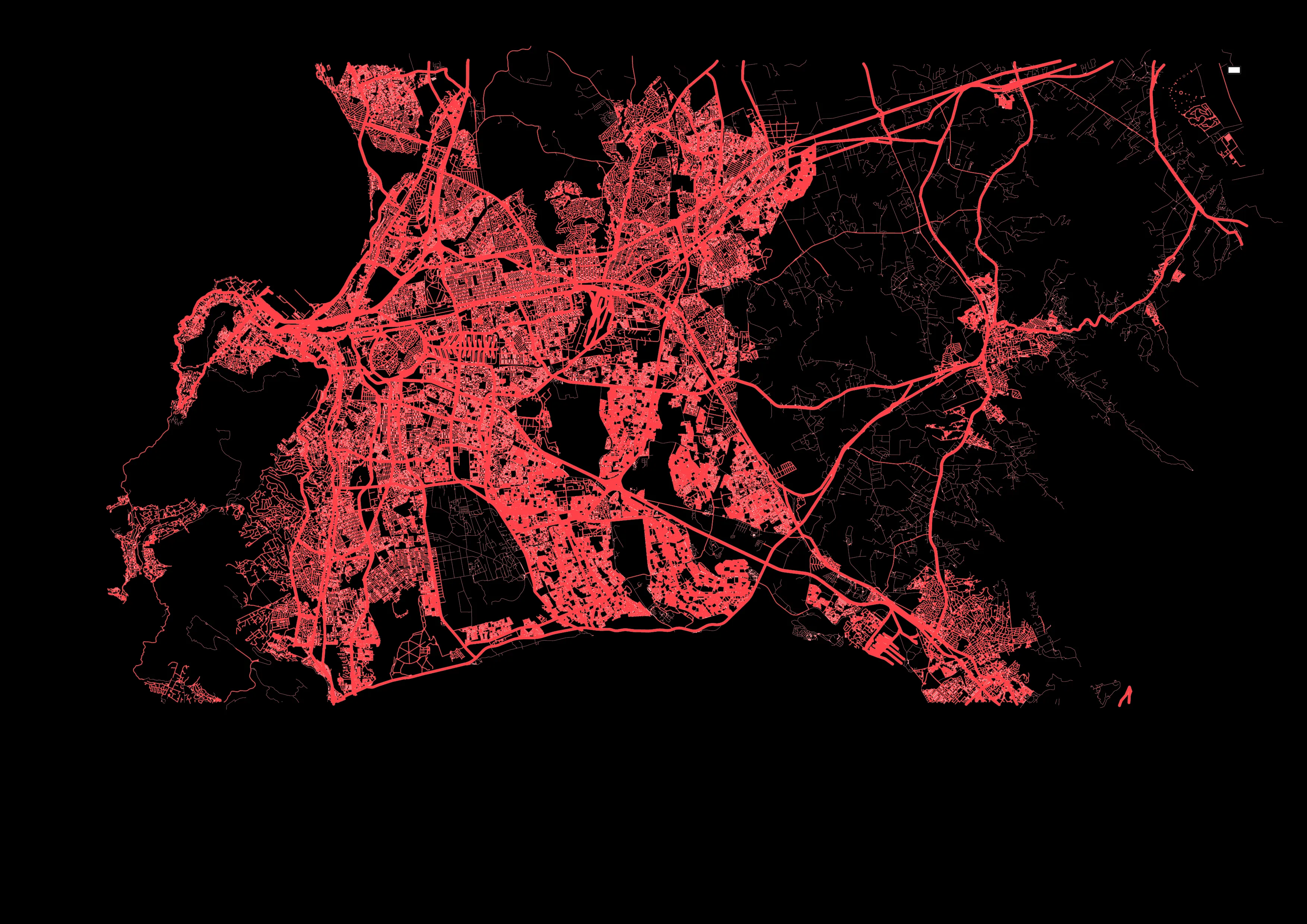
In addition to the road network and associated parameters such as route types, speeds and capacities, Model2Go also contains the public transport network, timetables, points of interest and structural data. In addition, traffic zones can be generated.

The navigation networks of Here Technologies and TomTom are used as the basis for Model2Go worldwide road network data. 

For public transit, PTV uses the same data format as General Transit Feed Specification (GTFS), which has stop locations, lines and timetables for transit agencies all over the world running buses, trams, rail or metro, for use in Google Maps and other services.

Related Content

  • May 22, 2020
    Traffic Group: ‘Daily commute may never be the same’
    The pandemic has taught us that our ideas about travel might need a rethink - Wes Guckert suggests a few ways in which change is coming
  • July 14, 2014
    Big data helps San Diego optimise public transit
    San Diego Metropolitan Transit System (MTS) has turned to Cubic’s big data subsidiary Urban Insights to make better use of its data, according to a report in Information Week. The agency has disparate data sources, including a smart-card payment system, GPS-based automatic vehicle location devices on buses, automatic passenger counters on trolleys, and extensive route and schedule information formatted in the general transit feed specification (GTFS) format developed by Google in 2006. "We look at all
  • June 18, 2024
    Overture is open to the bigger picture
    Four of the biggest players in the world of mapping have joined forces to create easy-to-use, interoperable open data that will power the next generation of maps. Kevin Borras talks collaborative interoperability with Overture Map Foundation’s Marc Prioleau and TomTom’s Willem Strijbosch
  • July 31, 2012
    Dubai metro - the world's longest automated rail system
    David Crawford reviews the recent opening of Dubai's Red Line. The US$7.6bn Dubai Metro, the Phase I Red Line of which started partial operation in September 2009, will be the world's longest driverless rail system on its planned completion in 2011. With a total length of some 75km, it will then overtake the 68.7km Vancouver SkyTrain and be able to carry over 1.2 million passengers on a typical day.