PTV releases Model2Go

Cloud-based solution can set up city transport models in days rather than weeks
By Adam Hill July 27, 2022 Read time: 1 min
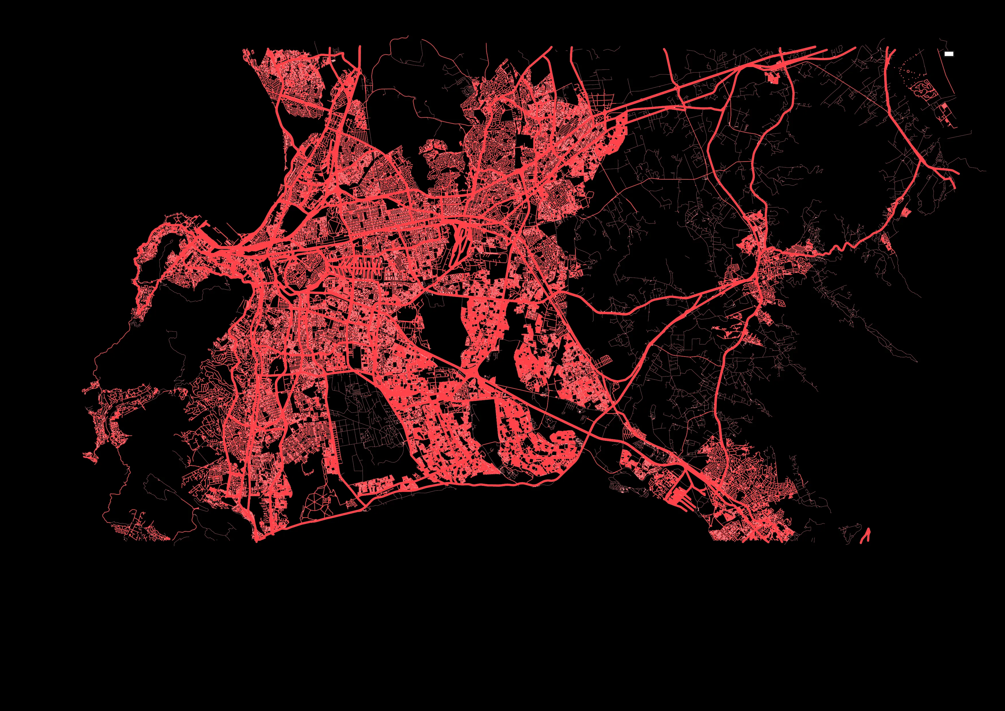
Cape Town in South Africa is one of six ready-to-use city models

PTV Group has launched a product which automates much of the painstaking business of building transport models. 

Model2Go is a cloud-based technology which means basic transportation models can be set up for any city or region worldwide within just three days, giving users such as cities, consulting companies or research institutions a ready-made foundation on which they can directly implement simple and complex use cases.

The first version is Model2Go Supply. A second version, Model2Go Demand, will be on the market soon. 

In addition to the road network and associated parameters such as route types, speeds and capacities, Model2Go also contains the public transport network, timetables, points of interest and structural data. In addition, traffic zones can be generated.

The navigation networks of Here Technologies and TomTom are used as the basis for Model2Go worldwide road network data. 

For public transit, PTV uses the same data format as General Transit Feed Specification (GTFS), which has stop locations, lines and timetables for transit agencies all over the world running buses, trams, rail or metro, for use in Google Maps and other services.

Related Content

  • September 25, 2023
    PTV to model Hamburg multimodal transportation system
    German city aims to see 80% of all trips made via sustainable modes by 2030
  • March 4, 2014
    Open data gives new lease of life to public travel information screens
    David Crawford finds resurgent interest in travel information screens for buildings. With city governments worldwide increasingly opening up and sharing their public transport data for general use, attention is focusing on the potential financial benefits – to transit operators and businesses more widely. Professor Stephen Goldsmith, who directs the US’ Harvard University’s Data-Smart City Solutions Project says: “Amid nationwide public-sector budget cuts, open data is providing a road map for improving tra
  • November 18, 2021
    MV helps agencies expand mobility options
    Solution aimed at special transport needs integrates with passenger and scheduling software
  • March 16, 2012
    Google maps the future of traffic and travel information?
    Will the relentless growth of Google lead to it becoming the ultimate provider of travel information services? Huw Williams investigates Google’s strategy and David Crawford discovers what two principal rivals are doing to keep pace. In the first weeks of 2012 one company staked two divergent claims on the future of transport. One is the science fiction of only a decade ago, turned into reality: the driverless car. The other seems more prosaic, yet in its own way is just as significant a marker of the futur