Causeway One.network boost for Tampa workzone safety

Florida city joins other agencies in US state to deploy Live Link alert platform
By Adam Hill August 27, 2024 Read time: 2 mins
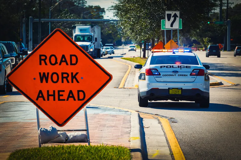
Road work crews can now share workzone locations and lane closure information via the major GPS providers (© Yaroslav Sabitov | Dreamstime.com)

The City of Tampa in the US state of Florida has deployed Causeway One.network's Live Link software, which gives the region’s traffic managers a single operational view of roadway disruptions.

Road work crews can now share workzone locations and lane closure information via the major GPS providers - including Google, Waze and Apple Maps - with the public, direct from the site.

The platform will increase efficiency, reduce travel times and improve safety, the company says. 

Barry Matlack, One.network VP of North America, says the initiative will bring a new level of accuracy to often flawed workzone information. “With nearly 400,000 residents and more than 26 million visitors per year, this project has major lifestyle implications for the entire community,” he said. 

“This project digitises that entire process from beginning to end and arms traffic managers with real-time decision enhancing tools. It’s the difference between the free flow of traffic and congestion."

“Tampa is a progressive traffic management city, and working with people who share our goals and commitment is extremely rewarding," he concludes.

The software was developed in the UK before being deployed by Florida Department of Transportation on all state roads in 2022 - the first US state to do so.

Agencies including the Central Florida Expressway Authority, the Tampa Hillsborough Expressway Authority and Hillsborough County have since added the Causeway one.network platform to their workzone safety tools.

For more information on companies in this article

Related Content

  • LiDAR sets its sights on future problems
    February 23, 2017
    AAdvances in LiDAR are helping transport authorities improve services and identify potential problem areas, as geospatial technology expert Dr Neil Slatcher explains. The effects of climate change on the transport infrastructure have long been a cause of concern within the transportation sector - and not only on the structures themselves but also on the surrounding areas. This year, those concerns have become reality with landslides, structural collapses and surfacing issues impacting services across the wo
  • Developing integrated transport networks
    September 20, 2012
    A major initiative in managing numerous transport networks as a single system has moved into a significant phase with design of sophisticated new ITS systems. Jon Masters reports. Detailed design work is under way on two pilot projects pursuing a common principle – that transportation can be made more efficient or effective if the various networks and modes of travel are managed as a whole system. This is the central tenet of the US Department of Transportation’s (USDOT) Integrated Corridor Management (ICM)
  • Arup picks 8 ways ITS can save the planet
    January 6, 2022
    The solutions we need to accelerate carbon-free transport are known, available and ready to be deployed. Tim Gammons from Arup explains what the ITS industry can do now to help…
  • The inside story of how traffic chaos was avoided after I-95 collapse
    August 23, 2023
    June’s collapse of major US roadway I-95 in Pennsylvania could have caused lengthy traffic chaos. But - relatively speaking at least - it didn’t and gridlock was avoided. Alan Dron finds out why