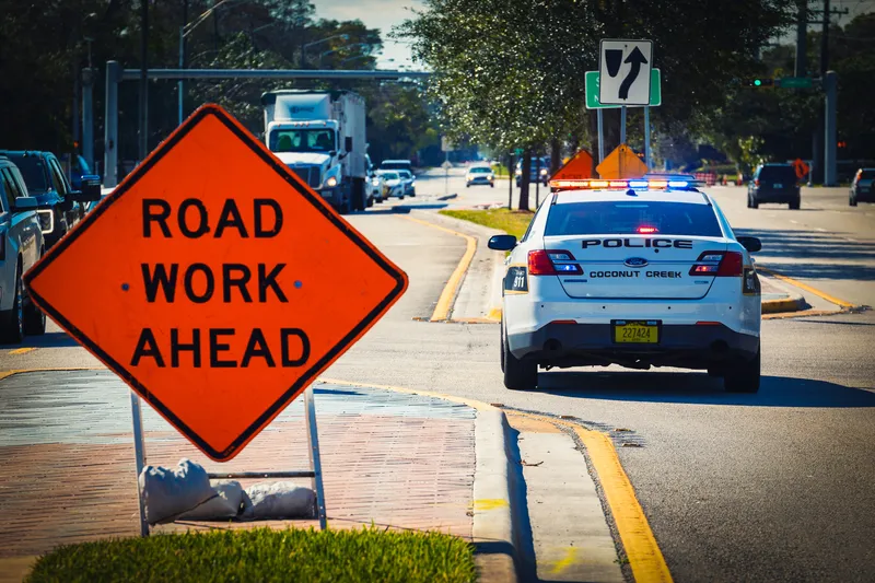
Causeway One.network boost for Tampa workzone safety

Florida city joins other agencies in US state to deploy Live Link alert platform
By Adam Hill August 27, 2024 Read time: 2 mins
Road work crews can now share workzone locations and lane closure information via the major GPS providers (© Yaroslav Sabitov | Dreamstime.com)

The City of Tampa in the US state of Florida has deployed Causeway One.network's Live Link software, which gives the region’s traffic managers a single operational view of roadway disruptions.

Road work crews can now share workzone locations and lane closure information via the major GPS providers - including Google, Waze and Apple Maps - with the public, direct from the site.

The platform will increase efficiency, reduce travel times and improve safety, the company says. 

Barry Matlack, One.network VP of North America, says the initiative will bring a new level of accuracy to often flawed workzone information. “With nearly 400,000 residents and more than 26 million visitors per year, this project has major lifestyle implications for the entire community,” he said. 

“This project digitises that entire process from beginning to end and arms traffic managers with real-time decision enhancing tools. It’s the difference between the free flow of traffic and congestion."

“Tampa is a progressive traffic management city, and working with people who share our goals and commitment is extremely rewarding," he concludes.

The software was developed in the UK before being deployed by Florida Department of Transportation on all state roads in 2022 - the first US state to do so.

Agencies including the Central Florida Expressway Authority, the Tampa Hillsborough Expressway Authority and Hillsborough County have since added the Causeway one.network platform to their workzone safety tools.

For more information on companies in this article

Related Content

  • The search for travel management's Holy Grail
    October 10, 2018
    Combining accurate network estimates and forecasts with real-time information is the way to deal with traffic hot spots. Alan Dron looks at products which aim to achieve just that. Traffic management authorities have for years been trying to get ahead of the game. Instead of reacting to situations, they want to be able to head them off as they occur – or even before they happen. Finding that Holy Grail of successfully anticipating problems will save time, tension and tempers on city streets. Two new system
  • The benefits of Lidar
    March 21, 2022

    While Lidar is gaining ground in the ITS industry, it has not yet reached the level of mass adoption where it shows up frequently in requests for proposals (RFPs) from cities and DoTs.

  • New York pioneers online mobile real-time bus tracking
    May 22, 2012
    An unusual technology collaboration. David Crawford investigates Early in January 2012, the New York City Metropolitan Transportation Authority (MTA) rolled out the first borough-wide implementation of its pioneering Bus Time online mobile real-time tracking service. The system allow commuters to track each bus on every route in real-time on the internet, via smartphones and by text messaging to a mobile phone. The MTA chose Staten Island for its first live launch due to it being the only one of the five Ne
  • Progressing work zone safety systems
    February 1, 2012
    David Crawford investigates progress in a key safety area - work zones. Highway construction zone safety is taken seriously enough in the US to merit a special spring National Work Zone Awareness Week, which in 2010 ran from 19-23 April. Headed by the US Department of Transportation's Federal Highway Administration (FHWA), this aims to reduce an annual toll of work zone deaths - 720 in 2008 (an average of one every 10 hours) with more than 40,000 traffic injuries (an average of one every 13 minutes).