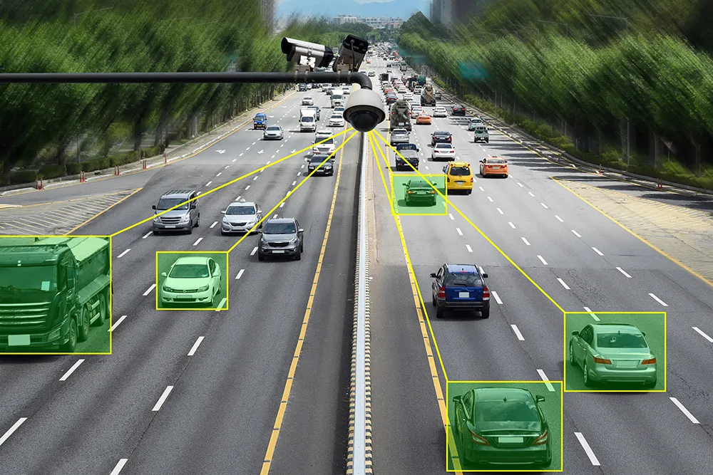
Vision from Fugro

Fugro Roadware has released Vision, a desktop application that offers synchronised viewing of pavement management data. As the company points out, data collection from a road network only takes on meaning once it is processed. With Vision, all data processing, visualisation, and reporting can be completed from one place, facilitating efficient management of network-level data that will enable more effective pavement management decisions.
January 30, 2012 Read time: 1 min
855 Fugro Roadware has released Vision, a desktop application that offers synchronised viewing of pavement management data. As the company points out, data collection from a road network only takes on meaning once it is processed. With Vision, all data processing, visualisation, and reporting can be completed from one place, facilitating efficient management of network-level data that will enable more effective pavement management decisions.

Related Content

  • Teledyne Flir: here’s how to find the right ITS camera
    January 4, 2022
    From lighting to weather, there are so many elements which need to be taken into account when choosing a camera for ITS operations. Riana Sartori from Teledyne Flir offers a buyer’s guide
  • Debating a cost-effective means of road user charging
    July 20, 2012
    Does GPS/GNSS-based technology provide a cost-effective means of charging or tolling on a national or international level, or are the issues pertaining to effective enforcement an obstacle. Here, leading equipment manufacturers debate the issue.
  • Econolite and Image Sensing Systems Introduce Autoscope Vision
    August 11, 2016
    Building on more than two decades of above-ground video detection experience, Econolite and Image Sensing Systems have introduced the Autoscope Vision detection solution, which delivers stop bar vehicle and bicycle detection, advance vehicle detection, bicycle differentiation, traffic data collection and HD video surveillance. Vision setup is simple and quick, and can be accomplished over the built-in local wi-fi, which can also support streaming video. Employing newly-developed, full-field-of-view objec
  • Smarter mapping makes for more informed decisions
    December 2, 2016
    Following his keynote presentation at the 2016 ITS World Congress in Melbourne, ITS International caught up with Esri founder Jack Dangermond. It is getting close to half a century ago that Jack Dangermond and his wife Laura founded the Environmental Research Systems Institute – known today as Esri - of which he remains president.