Vision from Fugro

Fugro Roadware has released Vision, a desktop application that offers synchronised viewing of pavement management data. As the company points out, data collection from a road network only takes on meaning once it is processed. With Vision, all data processing, visualisation, and reporting can be completed from one place, facilitating efficient management of network-level data that will enable more effective pavement management decisions.
January 30, 2012 Read time: 1 min
855 Fugro Roadware has released Vision, a desktop application that offers synchronised viewing of pavement management data. As the company points out, data collection from a road network only takes on meaning once it is processed. With Vision, all data processing, visualisation, and reporting can be completed from one place, facilitating efficient management of network-level data that will enable more effective pavement management decisions.

Related Content

  • February 9, 2017
    PTV sets its sights on Smart City solutions
    Making a city smarter not only relies on understand technological opportunities but also human decision-making, as Miller Crockart explains. Cities are about people – a fact that can easily be forgotten when experts talk about roads, healthcare and education as though they are abstract and unconnected monoliths rather than things people use. Understanding how and why people use services is vital for making decisions on how they can be optimised for maximum efficiency across inter-connected networks that for
  • July 24, 2012
    Righter shade of pale
    Jon Tarleton, Quixote Transportation Technologies, Inc., talks about developments in mobile weather information gathering Quixote Transportation Technologies, Inc. (QTT) is promoting the greater use of mobile technologies to provide infill between fixed Road Weather Information System (RWIS) infrastructure. It is, the company says, a means of reducing the expense of providing comprehensive, network-wide coverage, particularly in geographic locations where the sheer number of centreline miles causes cost to
  • June 11, 2015
    Transportation applications move to machine vision’s mainstream
    The adaptation of machine vision to transport applications continues apace. That the machine vision industry is taking traffic installations seriously is evident by the amount of hardware and software products tailor-made for ITS applications that are now available on the market. A good example comes from US-based Gridsmart Technologies which has developed a single wire fisheye camera that provides a horizon to horizon view for use at intersections. Not only does the single camera replace four or more in a
  • September 19, 2024
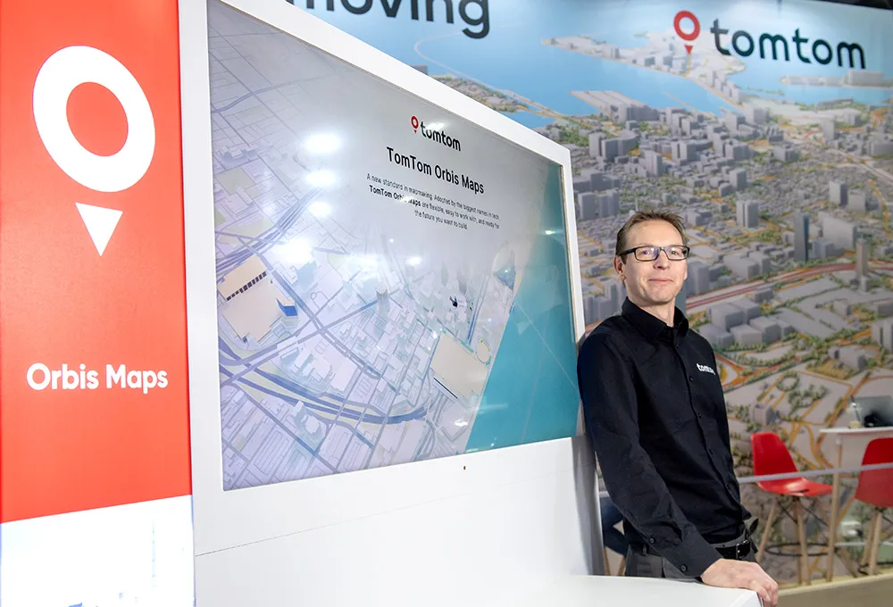
    TomTom moves traffic data to new heights
    As cities get bigger and busier, decision-makers need to get creative to keep them moving. Governments and transport authorities rely on data analytics to identify mobility issues, evaluate investments, and set policies based on traffic trends.