TrafficDOT 2.0 upgrade

Sensys Networks has announced a major upgrade to TrafficDOT that includes a redesigned graphical user interface which greatly simplifies all aspects of VDS240 wireless vehicle detection system configuration, monitoring and diagnostics. Hardware iconography for sensors, access points, repeaters and contact closure cards enable 'drag and drop' design capabilities, autoconfiguration of time slots and double-click functionality to instantly configure components and RF paths. Sensys Networks says that improved s
January 23, 2012 Read time: 1 min
119 Sensys Networks has announced a major upgrade to TrafficDOT that includes a redesigned graphical user interface which greatly simplifies all aspects of VDS240 wireless vehicle detection system configuration, monitoring and diagnostics. Hardware iconography for sensors, access points, repeaters and contact closure cards enable 'drag and drop' design capabilities, autoconfiguration of time slots and double-click functionality to instantly configure components and RF paths. Sensys Networks says that improved system monitoring via colour-coded sensor icons provides instant visual verification of detection status, RF path and quality of communications, while RF and detector output assignments are quickly modified through dragand- drop functions superimposed on real-world images such as Google Maps.

According to Brian Fuller, VP of engineering, TrafficDOT 2.0 is a powerful tool that enables end-users to easily and rapidly configure, monitor and maintain their wireless vehicle detection systems.

Related Content

  • TomTom provides flexibility for Riyadh
    June 1, 2016
    With five years of traffic disruption ahead and an inadequate traffic monitoring system, the authorities in Riyadh needed a solution – and quickly. In preparation for embarking on what is currently the world’s largest metro construction project, the Arriyadh Development Authority (ADA) in Riyadh needed to put in place measures to minimise the additional congestion and travel delays the five-year project would inevitably cause.
  • Multi-technology sensor fusion comes into focus
    July 30, 2025

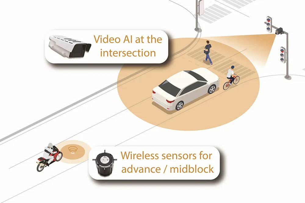
    The future of intelligent transportation is arriving at this year’s Congress with the launch of Sensys Networks’ MultiSens Intersection. This is a practical advancement in traffic detection that merges video AI and wireless sensors into a single, unified platform for signal actuation and traffic analysis. Sensys Networks innovative system delivers true sensor fusion, offering unparalleled insights into traffic flow.

  • Single system simplicity for smarter city transport
    February 23, 2017
    All encompassing, city-wide transport monitoring and control systems are beginning to make their way onto the market, as Colin Sowman hears. The futuristic vision of cities where everything is connected and operated with maximum efficiency by a gigantic computer remains a distant prospect but related sectors and services are beginning to coalesce: transport monitoring and control for instance.
  • Google updates maps to display natural disasters
    July 2, 2019
    Google is improving its SOS alerts by adding visual information about natural disasters and a navigation system on Google Maps. Google says the upgrade will extend the capabilities of the SOS alerts to provide crisis information via relevant news stories and Twitter updates from local authorities to include detailed visualisations about hurricanes, earthquakes and floods. In the days leading up to a hurricane, users will receive a crisis notification card on Google Maps that appears near impacted areas.