Tailored to vehicle imaging

JAI is launching two new high dynamic range CMOS cameras, the TS-4032EN (monochrome and TSC-4032EN (colour), tailored to demanding vehicle imaging and vehicle recognition applications in electronic toll collection, open road tolling, journey time information, speed enforcement, red light enforcement and homeland security.
July 26, 2012 Read time: 2 mins
78 JAI is launching two new high dynamic range CMOS cameras, the TS-4032EN (monochrome and TSC-4032EN (colour), tailored to demanding vehicle imaging and vehicle recognition applications in electronic toll collection, open road tolling, journey time information, speed enforcement, red light enforcement and homeland security.

The new cameras are based on a 43.3mm progressive-scan CMOS sensor providing over three megapixels of resolution (2,048x1,628 active pixels). This enables them to cover more than a full traffic lane with a vertical field of view of 3.7m.

The devices feature no-smear technology eliminating blooming and loss of license plate data due to problems with sun glare or glint. In addition, JAI says that the CMOS sensor's inherent high dynamic range of 66dB, combined with excellent near-IR sensitivity, and a signal-to-noise ratio of greater than 58dB, provides for high image quality in both daylight and night-time conditions.

When coupled with the company's external light sensor technology in a full system configuration, the cameras' dynamic range is significantly increased. The devices also feature internal JPEG compression, automatic FTP transmission of captured images to a file server, and internal clock synchronisation via the Network Time Protocol to ensure consistent date/time stamps in multi-camera installations. A built-in PowerPC processor running real-time Linux OS simplifies the process for in-field maintenance and firmware upgrades.

For more information on companies in this article

Related Content

  • EarthSense Systems reveals cleaner air routes in city-wide project
    October 13, 2017
    A project has been launched to produce city-wide visualisations of air quality through combining EarthSense Systems' (ESS) ordnance survey (OS) geospatial data and real-time air quality data. The technology, a joint venture between Bluesky and University of Leicester, is being used to highlight areas of higher pollution and allows users to identify cleaner air routes such as parks or canal routes. ESS captures measurements on air quality through using a zephyr sensor and a city-wide network of sensors.
  • Braums 2X breaks new ground
    March 29, 2022
    ‘Ground-breaking’ is an often-over-used term but in the case of the Braums R2X it really is ground-breaking technology that allows for rapid in-ground inductive loop replacement.
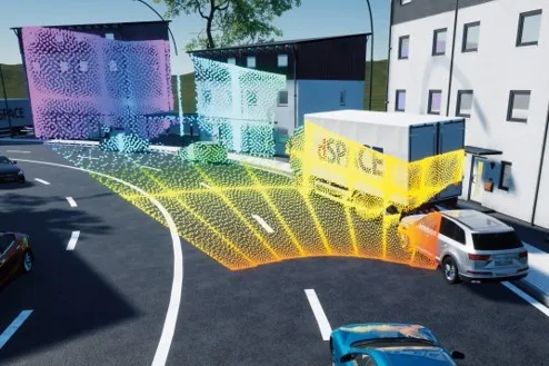
  • Dspace links with Cepton on AV simulation 
    August 18, 2021
    Dspace simulation tool chain allows engineers to explore different sensor models
  • The weighty problem of truck routing enforcement
    March 17, 2015
    The growing impact of heavy commercial vehicles on urban and interurban highway infrastructures around the world is driving the need for reliable route access restriction and monitoring. The support role of enforcement is proving fertile ground for ITS development. Bridges are especially vulnerable – and critical in terms of travel delays. The US state of Oregon’s Department of Transportation (ODOT) operates what it claims is one of the country’s most aggressive truck route restriction enforcement programme